PCT Section Hike – Sierra Nevada – Day 5

Echo Lake to bail out point – about 15 miles

PCT Mile 1093.4 to 1097.7 + side trail to Fallen Leaf Lake

July 5, 2026

Sluggy would join us today! He is yet another one of Buffer’s hiking buddies that she hosted last year at their house. He’s from the UK and is also section hiking the PCT over the years. This year he came for 45 days and started his hike with us.
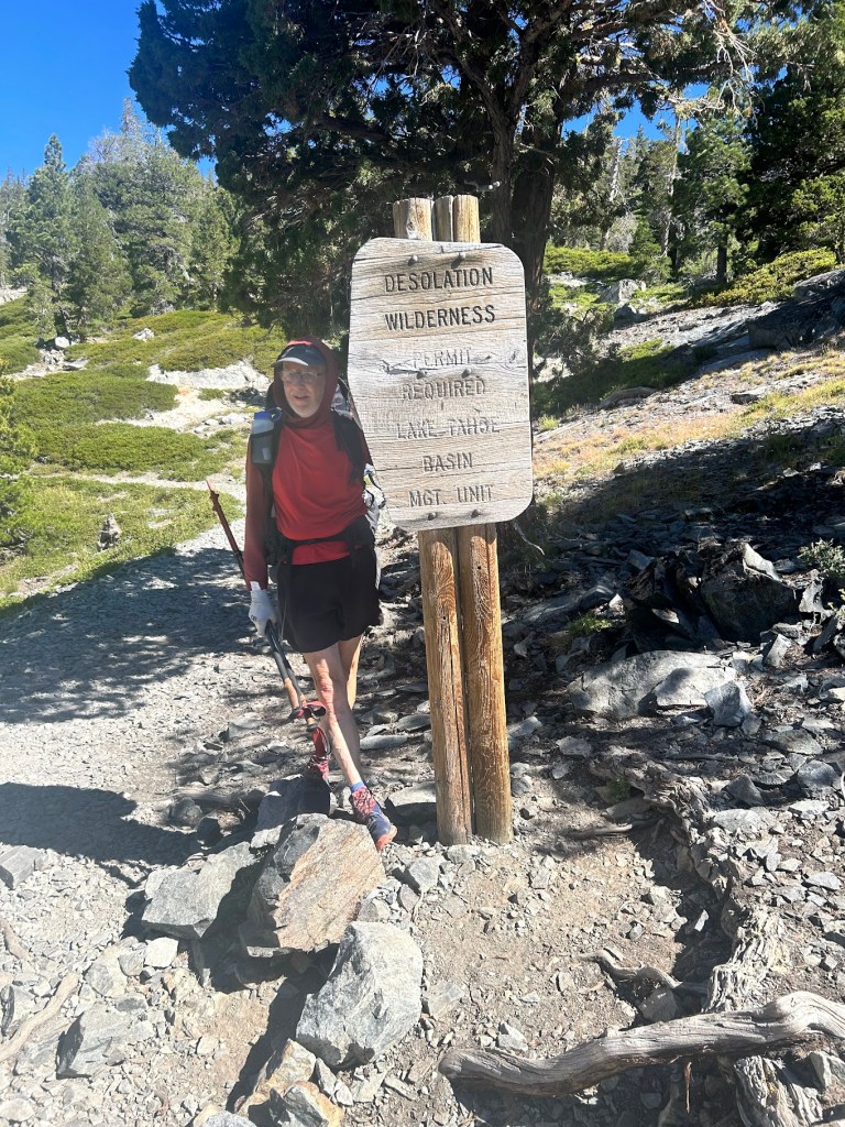
Sluggy!

Shawn dropped us all off at Echo Lake and we decided to take the boat across the lake to skip a couple of miles at the beginning because they are somewhat boring miles.
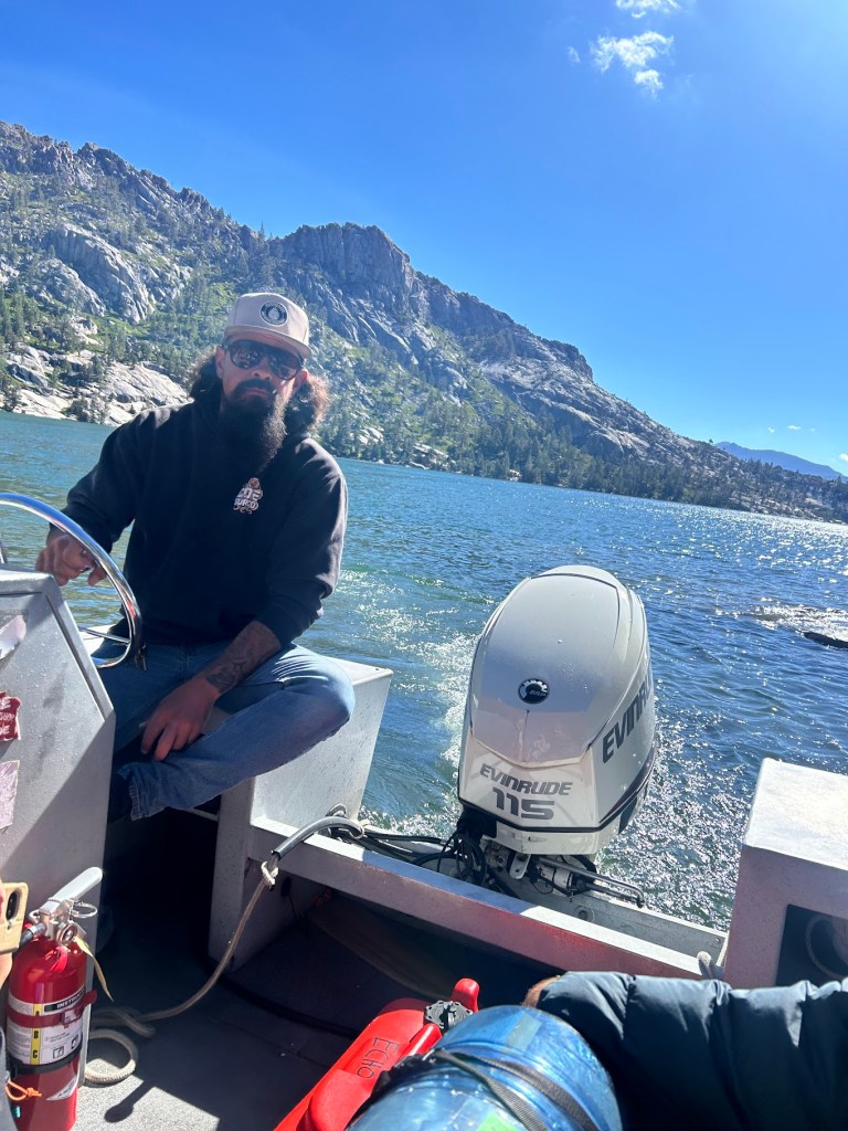
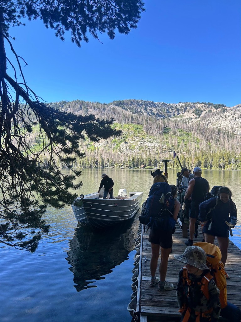
Getting dropped off on the other side

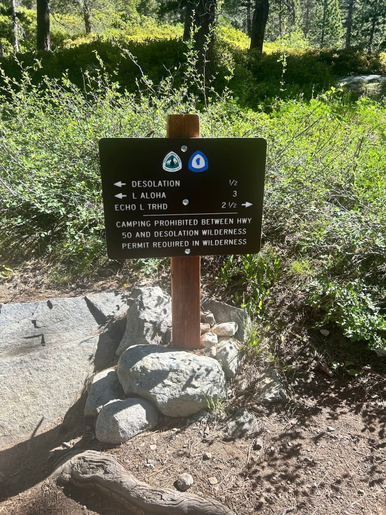
We entered the wilderness and a couple of minutes later we ran into a ranger who checked our permits. In the three years I’ve been hiking this trail, this was the first time I’d ever had a permit checked. I had mine though!
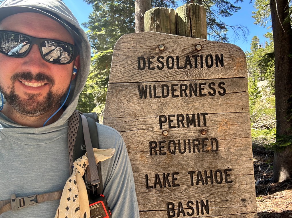
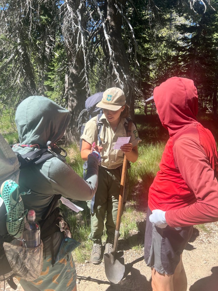
Permit checks. We all passed.

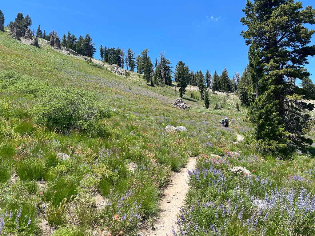
A couple of miles later we hit Aloha Lake. This is such a beautiful way to enter this section. I camped here at the end of my 2024 section hike and now I was doing it in reverse. We stopped for lunch and soaked our feet in the cold water.
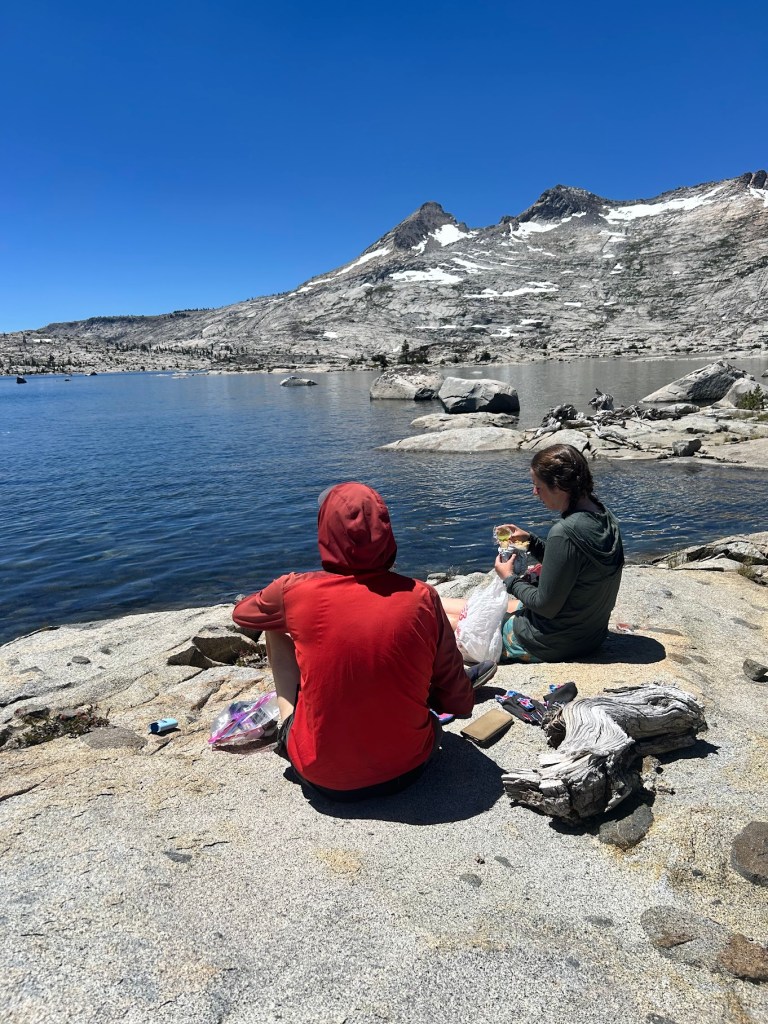
Sluggy and Buffer

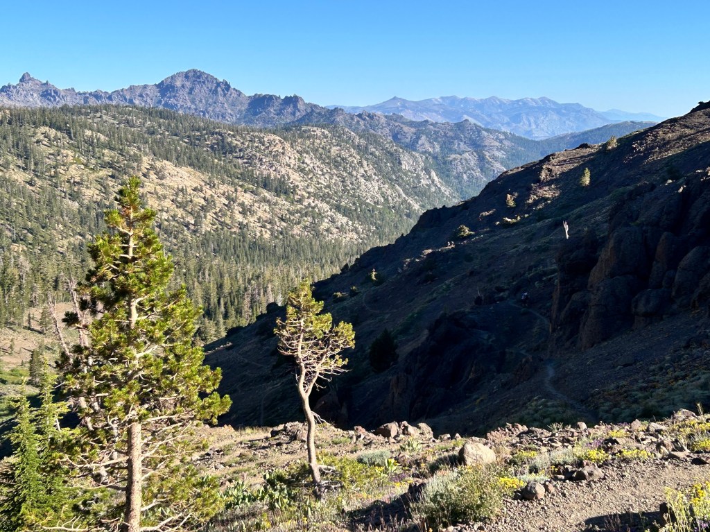
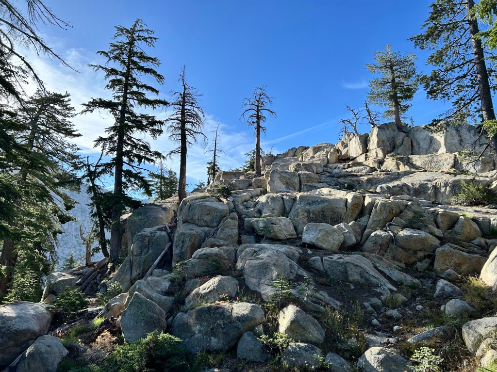
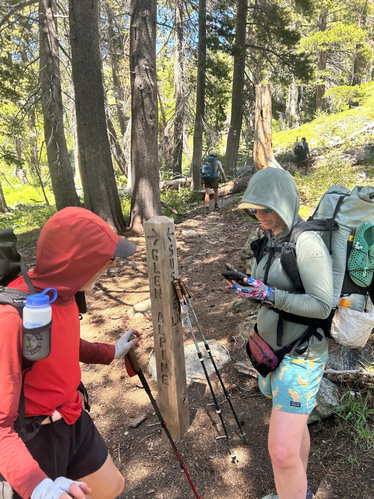
We passed a few more lakes as we started to head towards Dick’s Pass. I don’t know why exactly, but I wasn’t feeling it today. I had done this section before and knew there was a bail out point at Glen Alpine Trail junction, so I decided to take it instead of continuing on with Sluggy and Buffer. I think I was just ready to be off trail and start the process of getting home. I took this side trail about 10 miles out to Fallen Leaf Lake and then walked the road out to the highway to meet Shawn for a ride.
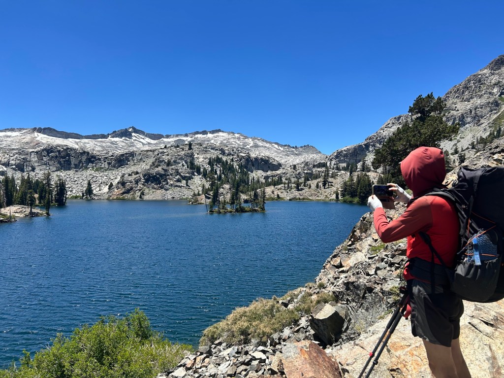
Heather Lake
Bail out at Glen Alpine junction

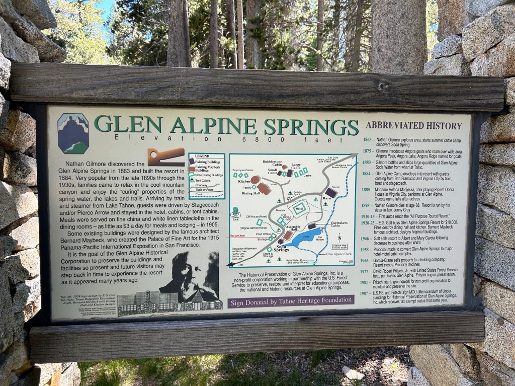
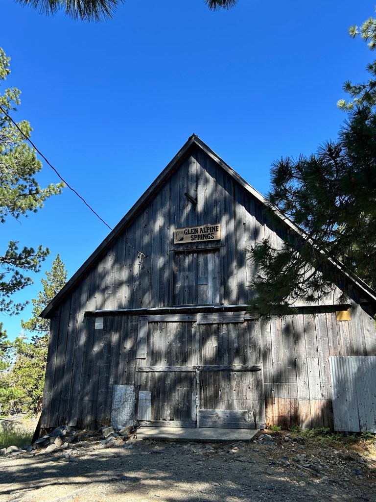
As I got down out of the mountains, I passed the old Glen Alpine Springs Inn, which operated in the late 1800s and early 1900s. It has been preserved and has a cool history, which you can read below. After that I reached Fallen Leaf Lake where there is a marina with food and drinks.
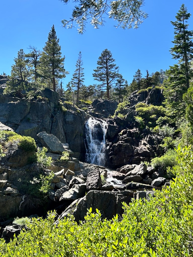
Just a nice waterfall

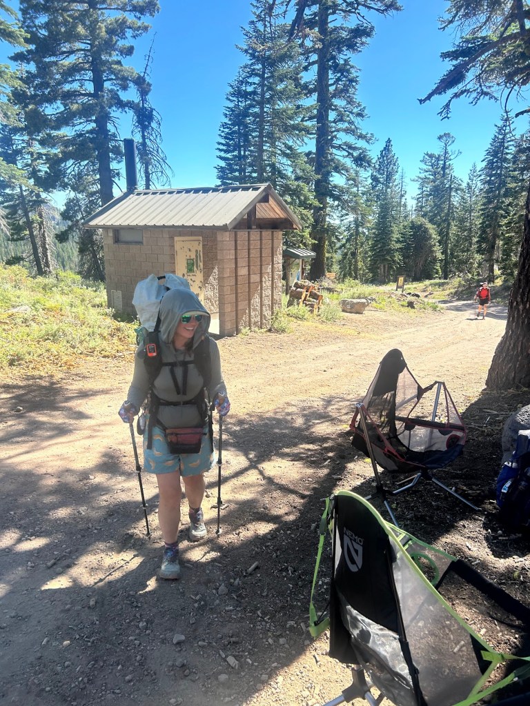
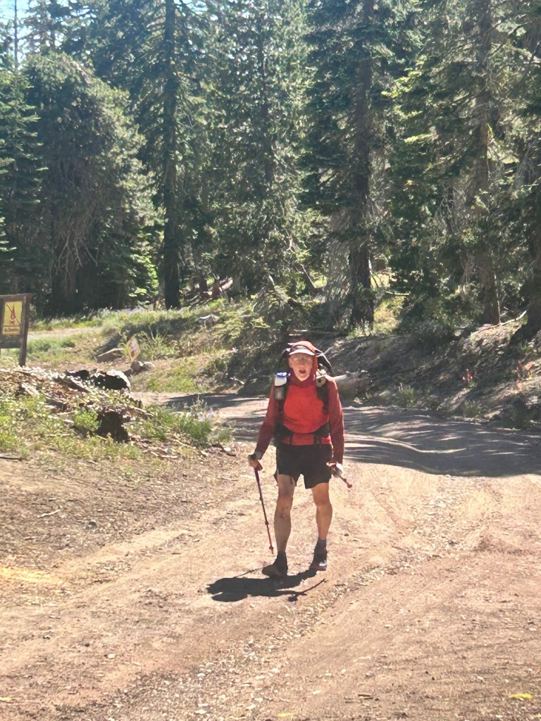
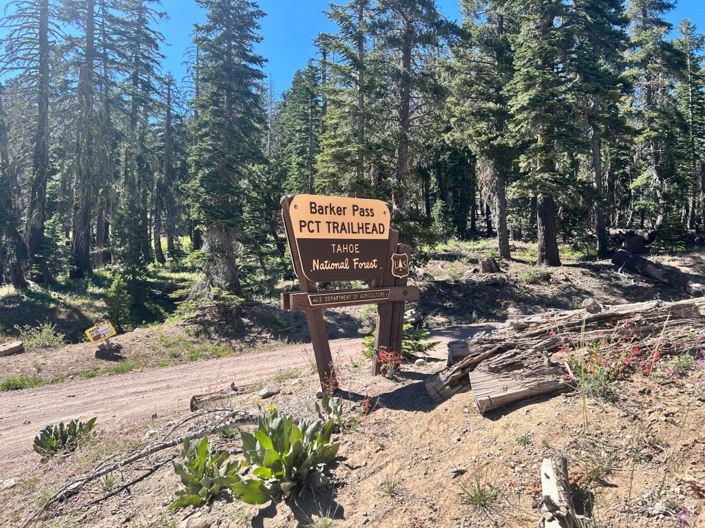
The next day, Shawn and I headed up to Barker Pass in the afternoon to resupply Buffer and Sluggy and also provide trail magic to whatever hikers happened to be coming through at the time. It’s so much fun to see their reactions when they aren’t expecting trail magic. That’s what makes it magic!
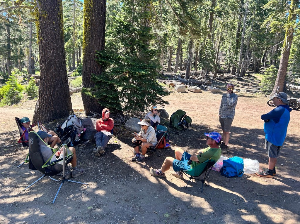
PCT Hikers enjoying the chairs, food, and drinks we brought to Barker Pass
Buffer!
Sluggy!

This was the end of my section hike and I enjoyed it very much. It was a very different experience for me: hiking with dedicated hiking partners and also being so close to resupply and having a dedicated trail angel in Shawn. I slack packed and just generally went with the flow of however I felt. About 60 miles total with great views and good friends.

I’m already planning for next year’s hike. I’m thinking I may go back to the desert since I’ve done the mountains for the last 3 years. Thinking maybe around April from Agua Dulce, CA to Tehachapi where I can walk the LA Aqueduct. I’ll update here when plans start to come together.
PCT Section Hike – Sierra Nevada – Day 4

Carson Pass to Echo Summit (Hwy 50) Slackpack – 14.2 miles

PCT Mile 1077.7 – 1091.9

July 4, 2026

A night of rest back in bed really hit the spot. We still wanted to come back and watch the 4th of July fireworks, so we decided to skip the section from Ebbett’s Pass to Carson Pass (28.4 miles) and slack pack from Carson Pass to Echo Summit instead. Slack packing means you are just day hiking, so you don’t need to pack your tent, all your food, and heavier items that you would normally carry when camping on trail. This was my first slack pack on a long trail and I highly recommend it, if the opportunity presents itself.

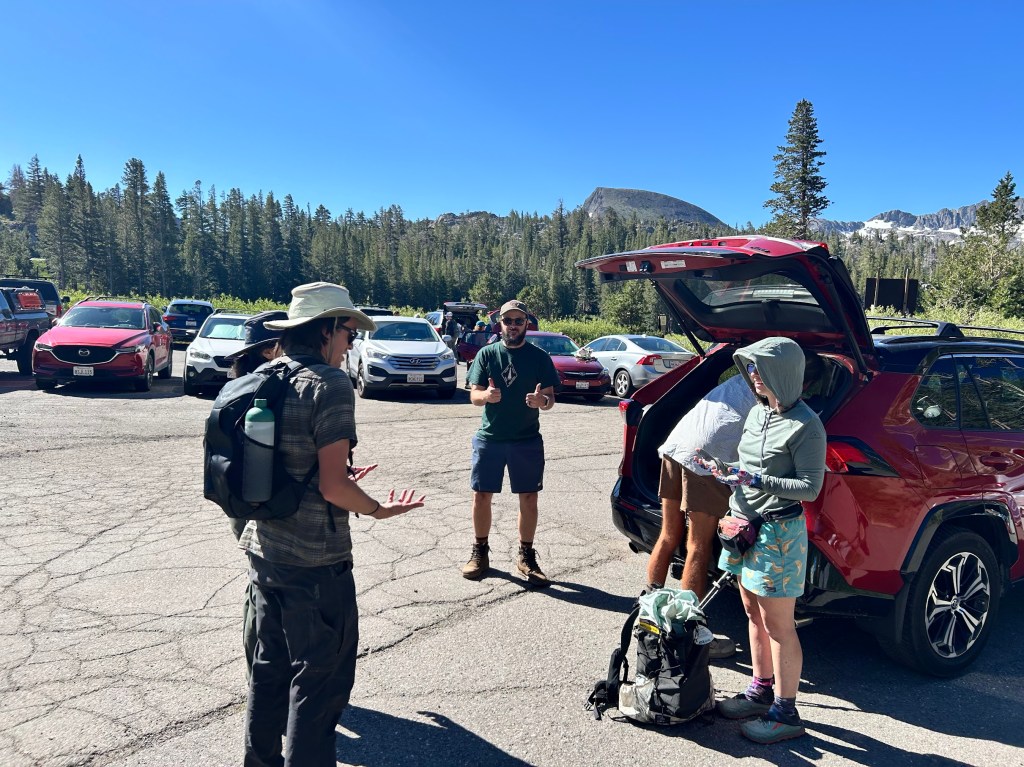
Shawn drove us to the parking lot at Carson Pass in the morning and we met up with another hiker named Bugs that was also day hiking that section and Buffer happened to have met him on her 2023 hike. It’s so crazy how the trail brings people back together. We also learned that he lived in South Lake Tahoe only a few blocks from Buffer! Shake was also in the parking lot and we would meet back up with him later down the trail.

L to R: Bugs, Shawn, Shake (digging in the trunk), and Buffer

Not only were we slackpacking, but this section was also super flat for the most part.

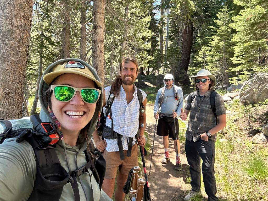
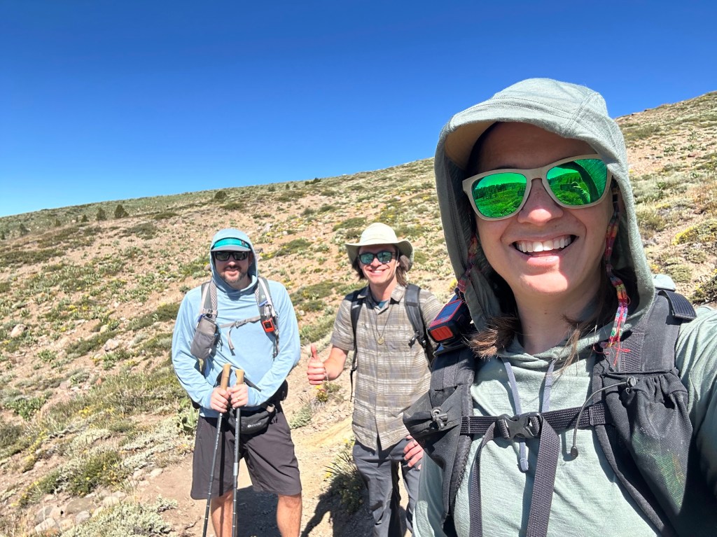
Me (Hummingbird), Bugs, and Buffer

At our lunch break, we ran into Shake and he joined our little trail family for the rest of the day.

L to R: Buffer, Shake, Hummingbird, Bugs

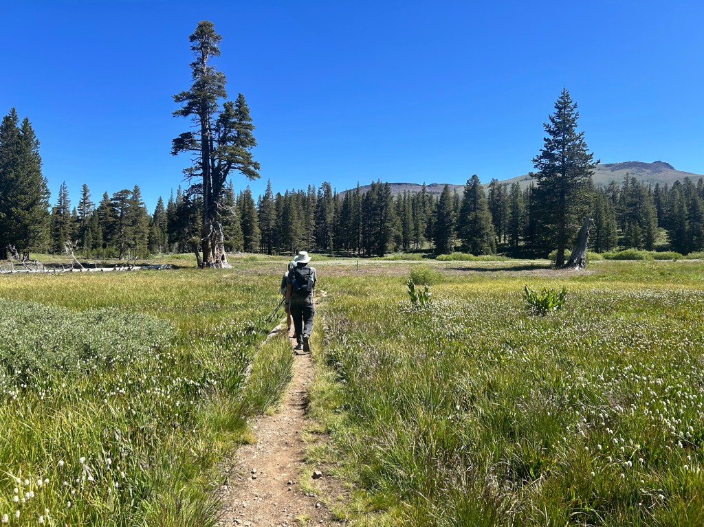
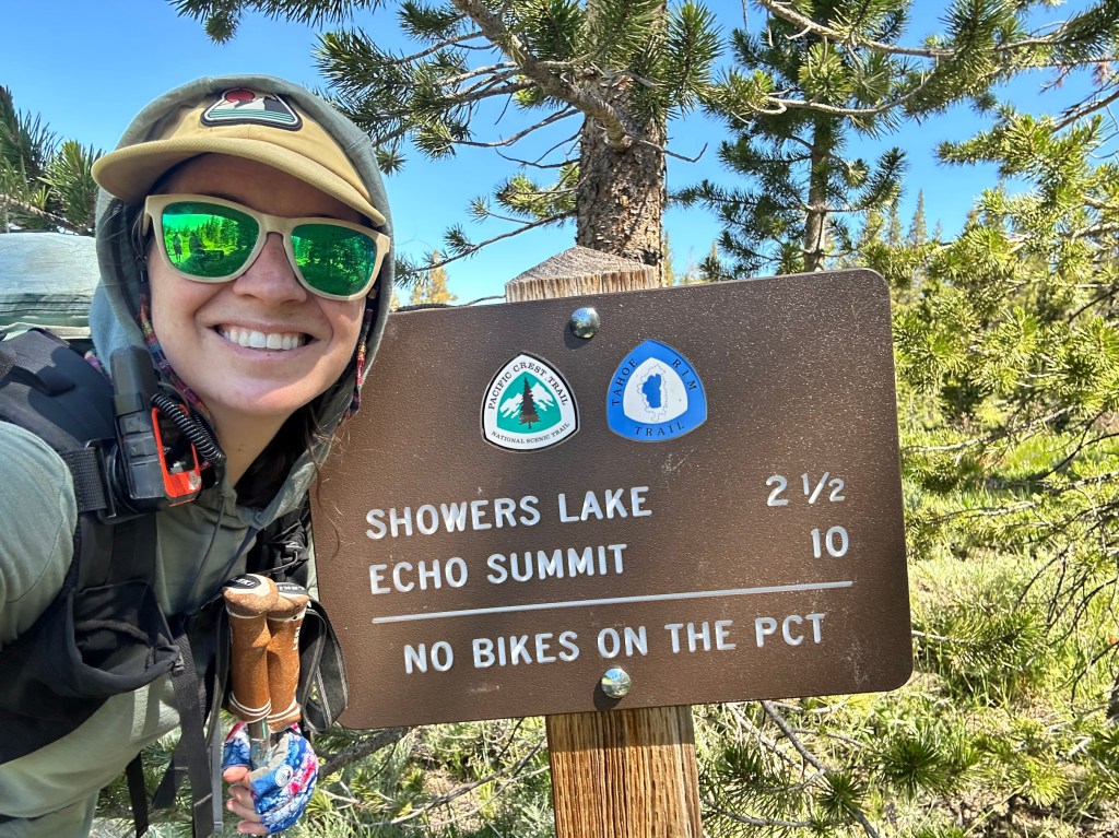
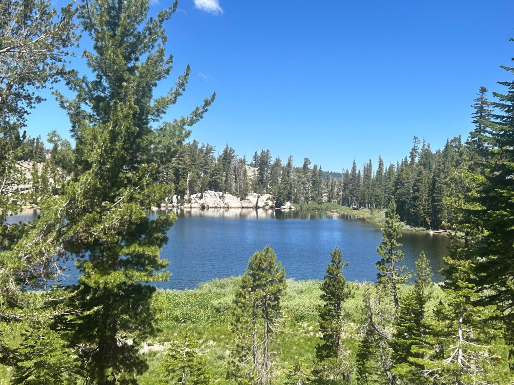
Showers Lake was about halfway through the hike and we stopped for a bit to soak our feet and soak in the beauty.

Showers Lake

We continued walking through beautiful wildflowers and would soon get our first view of Lake Tahoe from the south.

The trail started to descend to the summit (counterintuitive) and would split off from the Tahoe Rim Trail and also cross paths with the original Pony Express Trail.

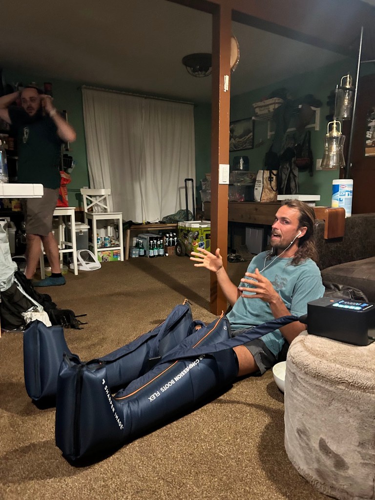
We got home and relaxed for a bit before going to the beach for fireworks. Buffer busted out her leg compression sleeves that she used when rehabbing her torn ACL for the past 18 months or so. I thought they were awesome. Shake also partook.

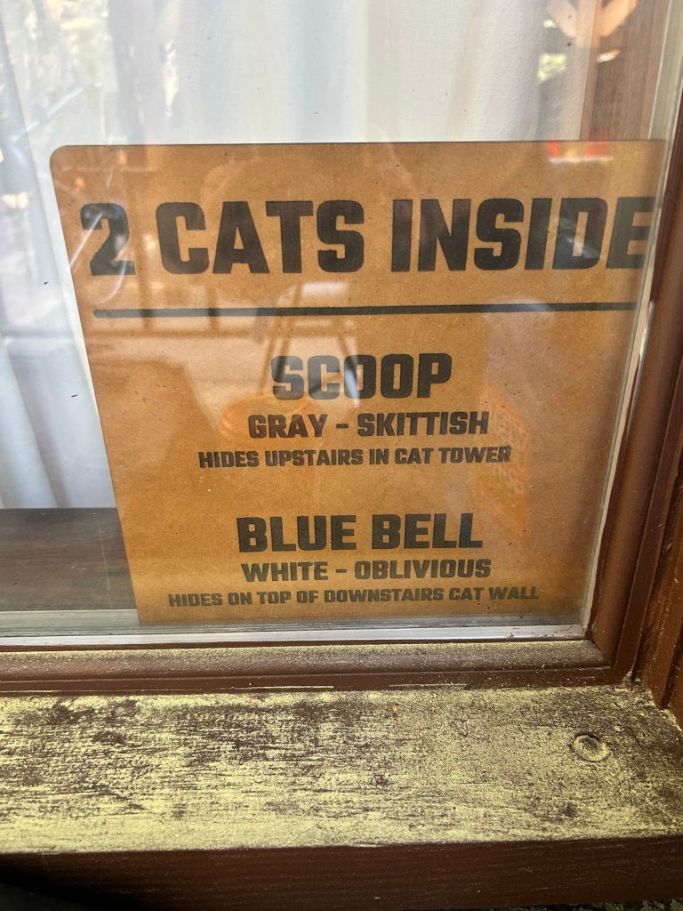
in case of fire, save the kitties!

PCT Section Hike – Sierra Nevada – Day 3

Gross Pond (Noble Lake) to Ebbett’s Pass – 4.3 miles

PCT Mile 1045.3-1049.6

July 3, 2026

I woke up early to finish the miles to Ebbett’s Pass where Shawn was going to pick me up. I initially thought that Buffer would be with him and we would continue on to the next section, but it turns out she wasn’t feeling great from the push the day before and we decided to take a zero back in town and reassess.

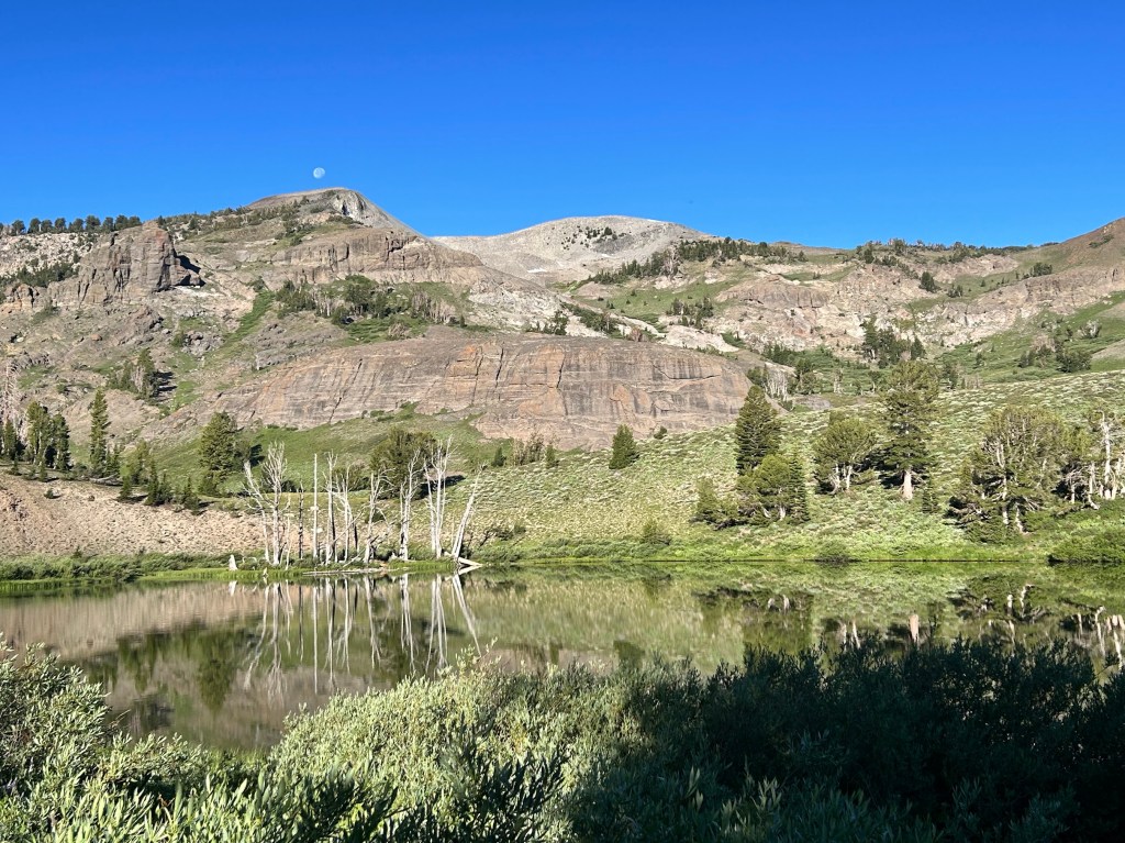
Noble Lake with moon above the peak
Early morning sun making good shadows

The trail went down into the canyon to a nice water source where I could dump the nasty pond water and refill with nice, fresh water.

Dirty shoe and clean shoe

After a couple of hours, I approached the road crossing at the pass.

Shawn explained that Buffer was still at home, but he brought trail magic which we shared with other hikers that came through over the next half hour or so.

PCT Section Hike – Sierra Nevada – Day 2

Bushcamp to Gross Pond (Noble Lake) – 16.3 miles

PCT Mile 1029 – 1045.3

July 2, 2026

The morning started with a decent uphill ascent, but nothing crazy. Always fun to look back and see where you came from. That’s something I try to keep in mind: look back.

I met Buffer an hour or so later at the first water source. Her water filter seemed to be having the same issue mine did last year.

We would also see some more thru hikers. I think we were a little bit ahead of “the bubble” for the 2026 Class, but there really is no singular bubble anymore like there used to be. Thru hikers spread out all over the trail due to differing start dates, paces, injuries, and just sheer volume these days. Which is how it should be. We want everyone to experience the trail on their own time and as they want to.

We got to a nice water source and I laid down to rest.

Then we decided it was lunch time so we stayed around.

Lunch

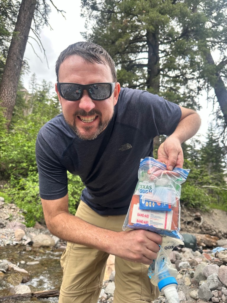
I realized how Texan my HEB “Texas Tough” ziplocks were and we both had a good laugh at my state’s hubris.

We continued on after lunch and I was preparing mentally for a big climb. I would find out later that this is where Buffer and I’s hiking styles differ quite a bit. I’ll explain after the next few videos.

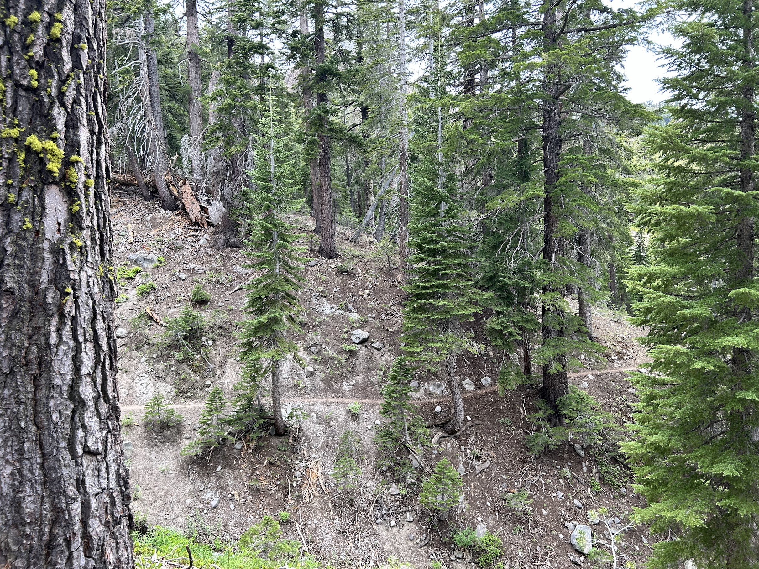
Cool trail

At camp, Buffer would take me aside and let me know that voicing my opinion about upcoming terrain (ups or downs) would interfere with her ability to enjoy the hike. I didn’t realize it, but for me, that’s one of the parts I actually really enjoy: the planning and looking at the map for the rest of the day and the coming days. There’s nothing wrong with either style, they are just different. I do wish we had had a discussion about that prior to beginning our hike, along with our actual mileage expectations, but I’m not sure either of us realized how much it would affect our experiences.

Buffer, if you’re reading this, I absolutely loved hiking with you and would do it again, just with different expectations and an understanding of how we best work together. When we got to the pond (Noble Lake), I set up my tent and Buffer decided to continue on the 4 miles to Ebbett’s Pass and have Shawn pick her up that night. I think she wasn’t ready to quit for the day. That’s ok. “Hike Your Own Hike” is a saying for a reason. We decided to meet back up the following day at the Pass.

PCT Section Hike – Sierra Nevada – Day 1

Sonora Pass to Bushcamp – 11 miles

PCT Mile 1018 – 1029

July 1, 2026

“Hike your own hike, but also don’t be a dick.” – Buffer

Well it took me a while, but I’m finally writing my blog for my section hike this summer. I hiked Nobo (northbound on trail) with Buffer, my friend from South Lake Tahoe that I met a couple of years ago when I took a trail maintenance course near Truckee. She and her partner Shawn are amazing people and I am forever grateful for their kindness and commitment to the hiking community.

I flew in to Reno a couple of days before our planned start date so I could acclimate to the altitude a bit. Coming from 400 feet in Austin to over 6000 in Tahoe and then 9000+ at the trail head means I needed to chill for a bit and Tahoe is a great place to do just that.

Luckily, with my fully remote work schedule, I was able to work from their house and not burn two extra days of PTO. It also gave me plenty of time to finalize gear and food, though I never get food right. I think I will forever tinker with my food system. I’ve always been picky and backpacking food seems to really challenge me.

Anyway, let’s get to the hiking!

We started on trail around noon after a Chik-Fil-A breakfast (I also got a spicy chicken sammich that I packed in for lunch/dinner) and reached our high point of just over 10,000 feet at Sonora Peak only a couple of miles in. After that, we headed down into a canyon for most of the day. The scenery was beautiful and we barely saw any other hikers past the trail head until we reached camp for the night.

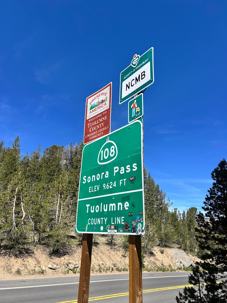
Road sign for Sonora Pass (Elevation 9,624 ft) and Tuolumne County Line, with additional signage for Adopt-a-Highway and a welcome sign.
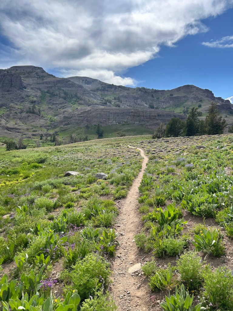
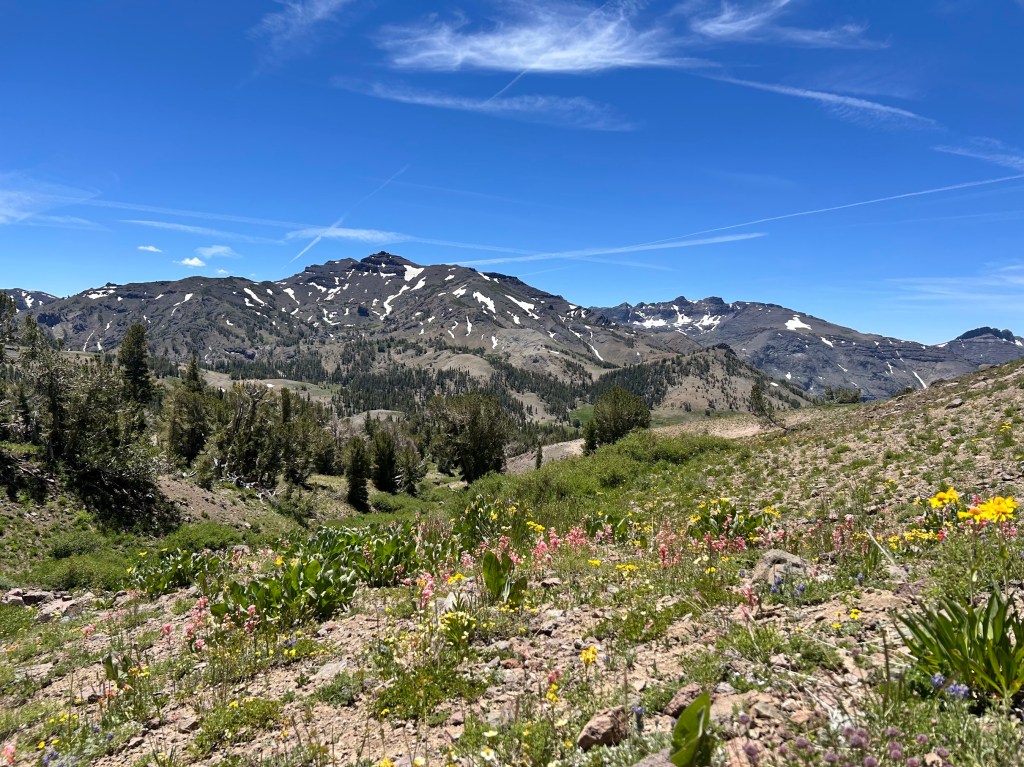
A scenic view of a mountainous landscape with patches of snow on peaks under a clear blue sky. In the foreground, colorful wildflowers bloom on rocky soil, surrounded by greenery and trees.

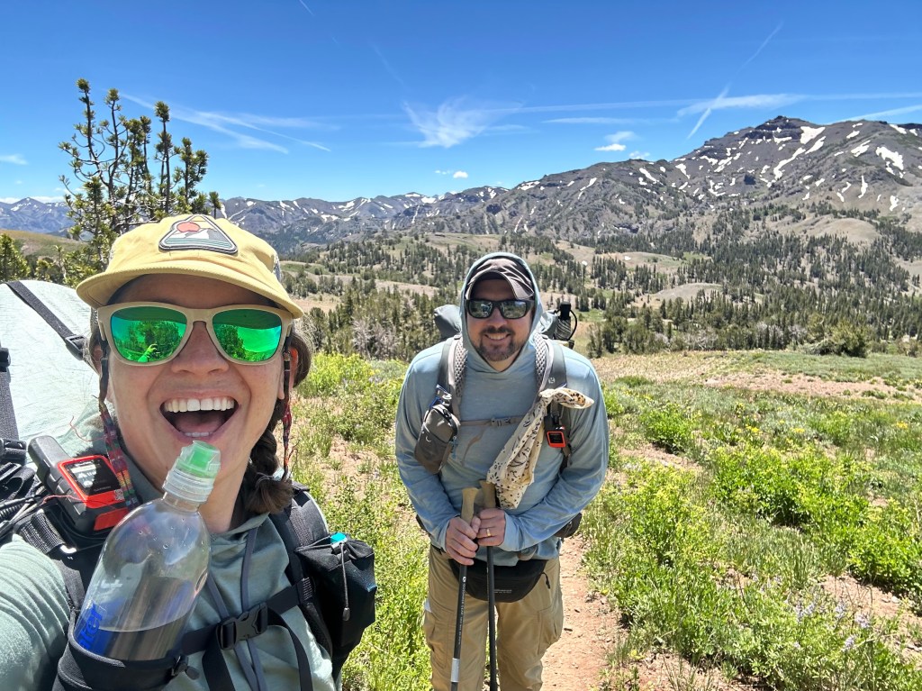
A woman with sunglasses and a hat smiles while holding a water bottle, standing next to a man with sunglasses and a backpack on a hiking trail surrounded by mountains and greenery.
Buffer took selfies every mile or so. Thanks Buffer!

There was still a bit of snow in places, though nothing that would have required micro spikes or ice axes. It was a pretty low snow year in the Sierra. Thanks to Buffer for the videos and pics of me hiking, which I normally don’t have many of.

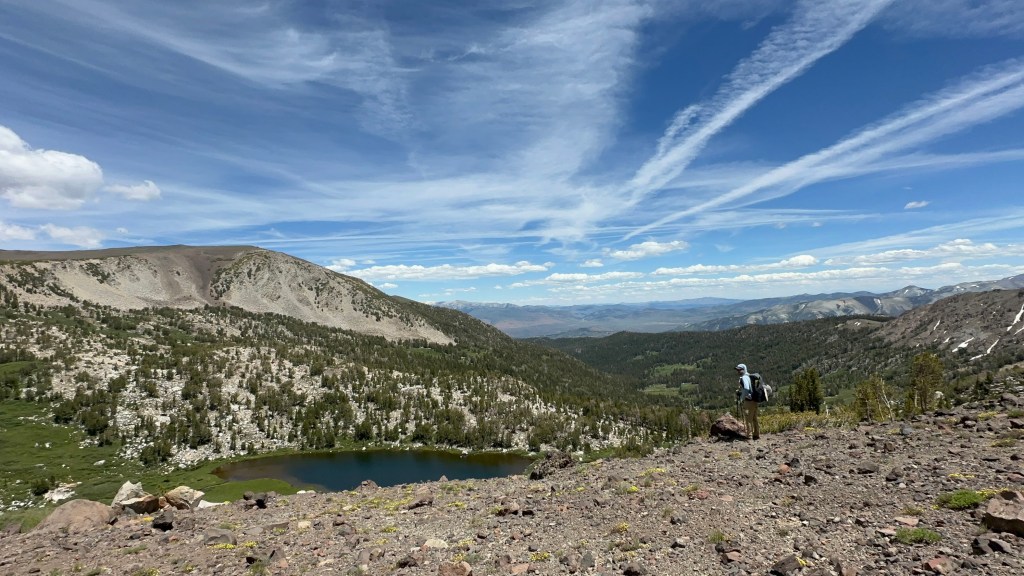
A hiker stands on rocky terrain overlooking a serene lake surrounded by lush greenery and mountains under a blue sky with wispy clouds.
Snack break at a beautiful view

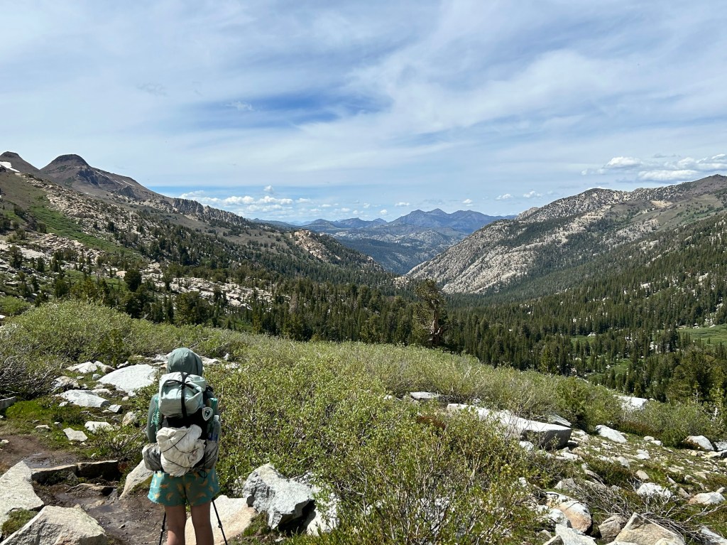
As we wound down into the canyon, it was nice to have someone to chat with about life and hiking. It is quite different than being alone with your own thoughts.

A hiker stands on a rocky path overlooking a lush green valley and mountains under a partly cloudy sky.

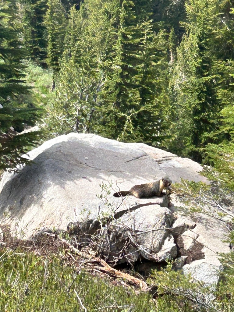
Of course, marmots were about.

A small animal resting on a large rock, surrounded by lush green trees and shrubs in a natural setting.
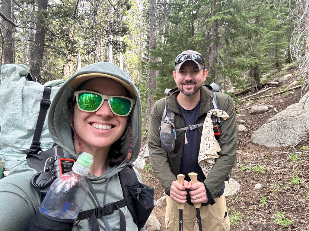
A smiling woman and man in hiking gear, standing on a forest trail surrounded by trees. The woman is holding a water bottle and wearing sunglasses, while the man holds hiking poles.
Another selfie!

Water in the northern Sierra is plentiful. We really only needed a liter at a time, though I usually had 1.5 to 2 because I’m paranoid.

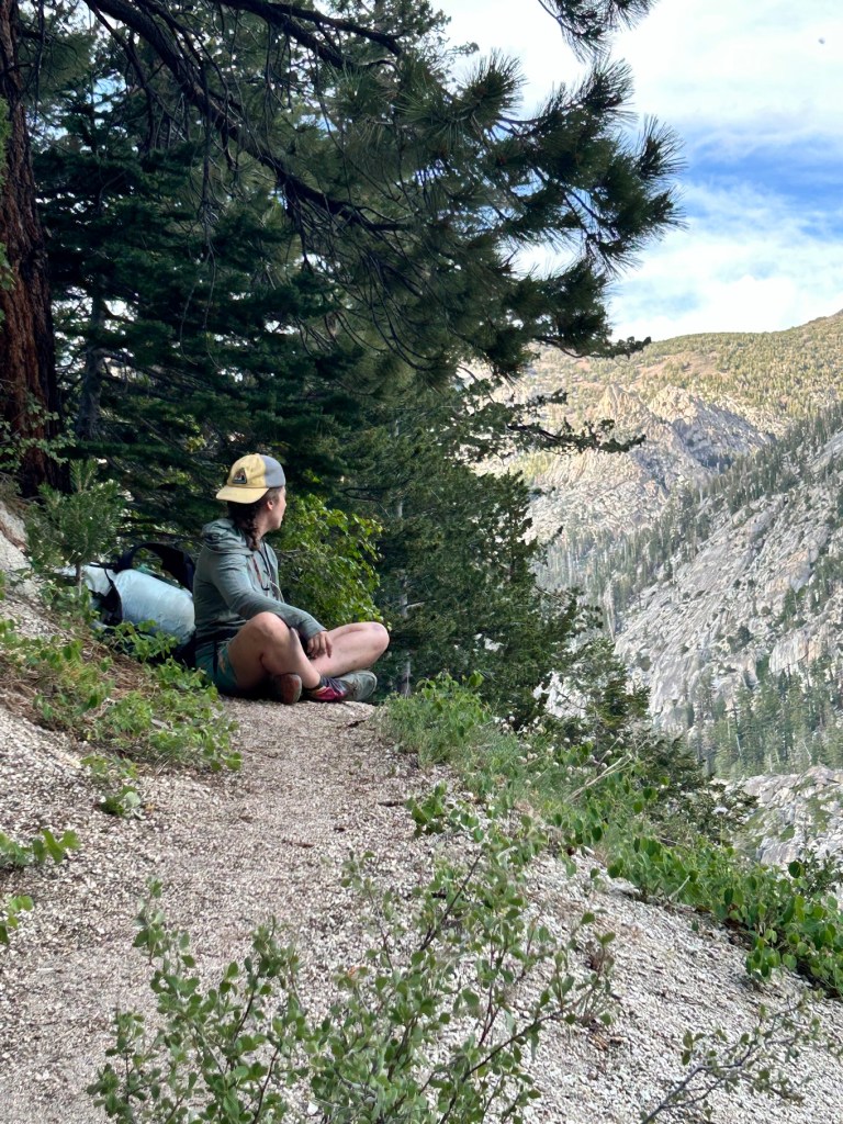
One of my favorite pics of the hike.

A person sitting on a trail overlooking a mountainous landscape, surrounded by trees and greenery.
Buffer

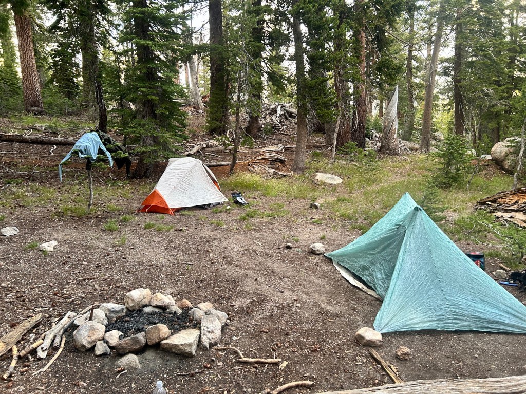
We climbed out of the canyon for another mile or so to get to a campsite on higher ground, but still sheltered. We met a thru hiker at camp named Shake, who we would leapfrog and hang out with for the next couple of days. He was one of the more interesting hikers I’ve ever met (aren’t they all?). It was a lovely first day and we both slept well, despite Buffer forgetting her tent stakes and having to make due with big rocks to keep her tent upright. It worked! 🙂

A campsite in a forest with two tents, one orange and white and another light blue, surrounded by trees and a fire pit made of stones.

Last Day on Trail and McDonald’s!

Thursday, May 18, 2023

13.6 miles

Yes, you read that right. Today was my last day on trail…for now. I’ll explain more in the next post.

Beth drove us back to the trail after her amazing generosity and hospitality. She made us avocado toast for breakfast, which is a great pre-hike meal.

13.6 to I-15 and McDonald’s

Thirty seconds after she dropped us off, we saw two hikers coming up the trail. Postmaster and 4Runner! Two of the very first people I met on trail after my difficult first day. They really helped get me on my trail feet after Lake Morena and it was so perfect that the trail brought us back together on my last day. There’s something truly cosmic going on out here.

Sticks, Postmaster, and 4Runner

We hiked together for the morning, climbing up the ridge above the lake.

Video
Top of the ridge

We hiked on through relatively flat terrain as we got closer to Cajon Pass and I-15.

First view of Cajon Pass
Epic views

We wound down the trail into the valley.

Video

It was a really nice hike and I was happy to spend my last day on trail with a great friend I had made. Sticks is continuing on with his hike as a tribute to his late son. He’s a great guy.

The last bit of trail went through a beautiful canyon. This was an unexpected and lovely way to end my hike and Section C of the PCT.

End of hike
McDonald’s!

This is also part of the old Route 66.

Hikers leaving McDonald’s after attempting the 4000 calorie challenge. I did not attempt this.
There it is!
So terrible, yet so good.

One more post coming to explain why I left the trail and what the future holds. I’ll try and get it up later today or tomorrow.

Decisions

Wednesday, May 17, 2023

13 miles

I woke up in the dusty side lot of the Joshua Inn and had to decide what to do.

My feet were absolutely destroyed the day before. They had been getting worse and worse, ever since Big Bear, despite my zeroes in Idyllwild and Palm Springs. I think the main culprit was the late creek crossing a few days ago and my feet never really recovered.

New blisters, old blisters festering, and now ankle pain, on top of the numbness spreading in my left foot. That said, a good night’s sleep at the Joshua Inn revived me enough to decide to continue hiking with Sticks until at least Cajon Pass, 26 miles further on.

We woke up and were in no rush, since we were only going 13 miles to Silverwood Lake.

Alan gave us a ride back to trail in his electric Nissan Leaf with a trailer for our packs.

We hiked up into the hills, but mainly stayed on the flanks of them overlooking the valley with views of Mt. Baldy in the distance.

Mt Baldy with snow

We had one tricky creek crossing where Sticks tried to rock hop, but slipped and fell in, losing a hiking pole in the process.

Video

We came to the dam that creates Silverwood Lake and the California Water Authority equipment depot at its base.

Approaching the dam

We hiked up a steep hill and were greeted at the top by great views of the lake and an amazing breeze. We then hiked a few more hot miles around the lake to the far side, where we had an amazing swim and rest at some picnic tables in the shade.

Water felt amazing, but my feet were not happy.

We weren’t technically allowed to camp at the lake, so the plan was to hang out until evening and “stealth camp” (usually cowboy camping – no tent – in an inconspicuous place) to avoid detection and get out early the next morning.

But the trail provides. Sticks got a text that a friend of a friend (another firefighter) who lived 20 minutes from the lake had offered to let us stay with her that night and was going to pick us up! Trail Angels rock!

Beth picked us up in her RAV4 and drove us up the windy mountain road to the small town of Crestline. First stop: FOOD!

Me, Beth, and Sticks devouring Mexican food

She then took us to her house where we showered, did laundry, and slept in real beds! She even gave me a robe.

Thanks Beth!

Bugs and Blisters

Tuesday, May 16, 2023

19 miles

Today sucked. Every step was a new nightmare (Tyler and Ike should get that reference).

The flies and gnats were relentless all morning and we had 19 miles to make today, all on the banks of the canyon formed by Deep Creek. It was so hot. I’ll let videos do most of the talking.

300 miles

We made it to the hot springs where I had to sit in the shade and eat to get some calories so I could keep going. The hot springs were…underwhelming.

Lots of naked locals and not in a good way. Apparently we just caught it on a bad day, as other hikers would later tell us they had a great time and were surrounded by mostly other PCT hikers, but for us it was just sketchy and weird. Homeless people, lots of fat, old white guys, and just generally a methy vibe. Oh well.

So we skipped the soak, refueled and hiked on. We crossed the rainbow bridge (another PCT landmark I had been wanting to see).

Six hard miles later, made it to the highway where we called Alan, a trail angel who shuttles hikers to the Joshua Inn.

The Joshua Inn is really just a bar that lets hikers camp out in their huge dirt side lot, but it was a good hang out and they had beers and good food, which is what we hikers care about.

Sticks
Bar and the backyard with tables

We paid $5 to camp and another $5 for a cold shower. My feet were absolutely fried and I had a lot of thinking to do this night.

Big Bear Ridge Hiking

Monday, May 15, 2023

18 miles

Woke up and hiked. More of the same, but with great views in the morning!

Video

We crested the ridge and went down the back side to a nice spot for lunch where we decided our packs were too damn heavy with 4 days worth of food. So a big lunch was the only answer.

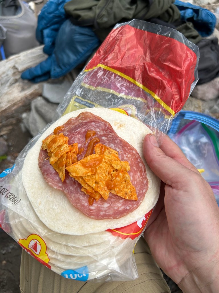
Tortillas, salami, cheese, Cheetos, and whatever else
Video

Towards the end of this long day we were greeted with a couple of creek crossings where we had no choice, but to get wet. Always fun right before camp so you have to let your shoes dry out all night. Oh well.

Deeper than it looks

We finally got to camp, set up all of our wet shoes and socks to dry, and were treated to another beautiful sunset. The bugs would also come out, but they weren’t too much of a problem until the morning.

A few zeroes and then back on at Big Bear

Sunday, May 14, 2023

10 miles

I went back to Idyllwild after coming down off San Jacinto at I-10 and hung out for a couple of days while I waited for Court to fly into Palm Springs to meet up.

I became very familiar with all the local shops and restaurants, having nothing to really do for a couple of days, which is a very weird feeling after getting up and hiking all the time.

When Court flew into Palm Springs, she grabbed a rental car and headed up to Idyllwild to get me. We went to the brewery for lunch and then a little Italian bar for a glass of wine, while we waited for the mayor and his deputy to show up and greet visitors on the town square.

L to R: Mayor Max III and Deputy Meadow

Idyllwild is a really cool town and I think we will definitely be back.

We headed down to our rental in Palm Springs, which was great. Guest house with a private pool. Very plush.

We enjoyed our time there, but honestly, Idyllwild is more our speed. Anyway, I decided to skip a little bit of trail so I could meet back up with my hiking partner John, since he was now going solo (Clay went home for work and family until July).

Court drove me the hour and a half through the bizarre desert and up the mountain to Big Bear where we met John at the highway 18 intersection with the trail. We made a quick jaunt into town, dropped another hiker off at the store, then got a fast food breakfast (sorry Court) and zoomed back up to the trail where I said goodbye and headed into the mountains.

New bag of Fritos in tow

We only did about 10 miles to ease me back on the trail a bit before setting up camp at a nice spot early and watched the sunset through the trees.

Cool lichen
Mine on the left, John on the right – no fires allowed