Gross Pond (Noble Lake) to Ebbett’s Pass – 4.3 miles
PCT Mile 1045.3-1049.6
July 3, 2026
I woke up early to finish the miles to Ebbett’s Pass where Shawn was going to pick me up. I initially thought that Buffer would be with him and we would continue on to the next section, but it turns out she wasn’t feeling great from the push the day before and we decided to take a zero back in town and reassess.
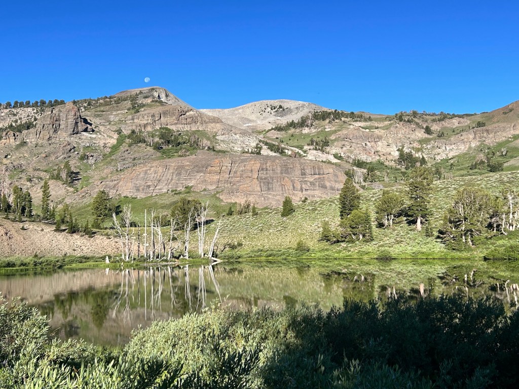
Noble Lake with moon above the peak
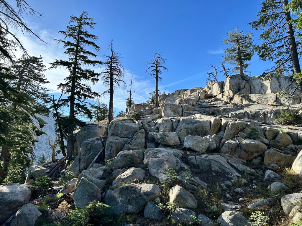
Early morning sun making good shadows
The trail went down into the canyon to a nice water source where I could dump the nasty pond water and refill with nice, fresh water.
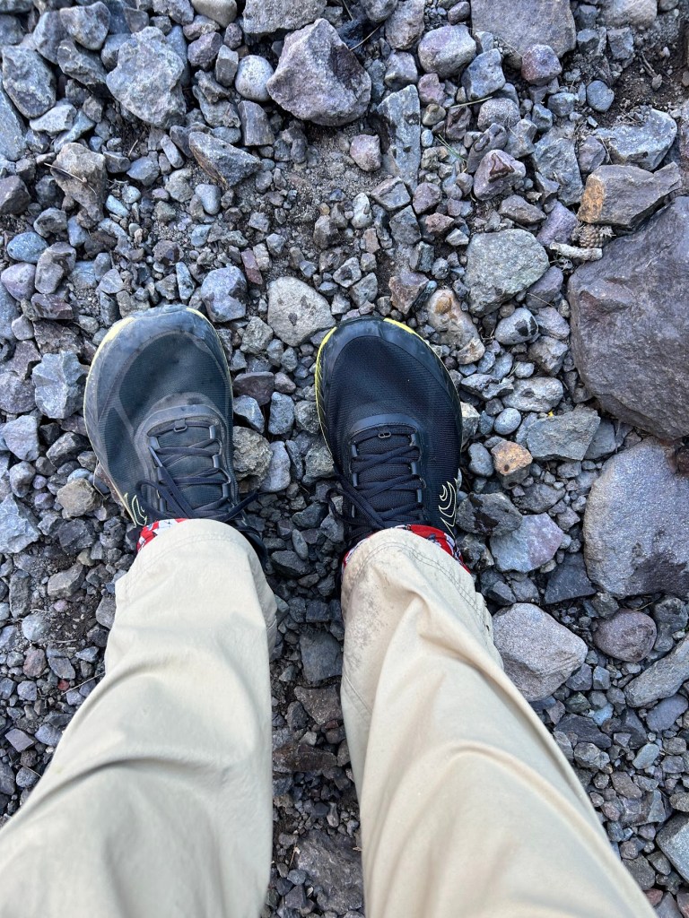
Dirty shoe and clean shoe
After a couple of hours, I approached the road crossing at the pass.
Shawn explained that Buffer was still at home, but he brought trail magic which we shared with other hikers that came through over the next half hour or so.
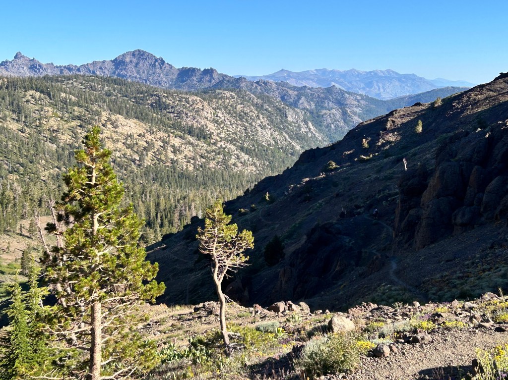
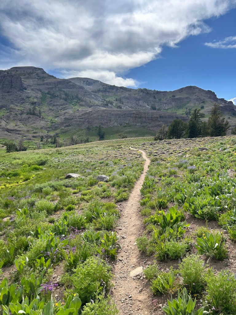
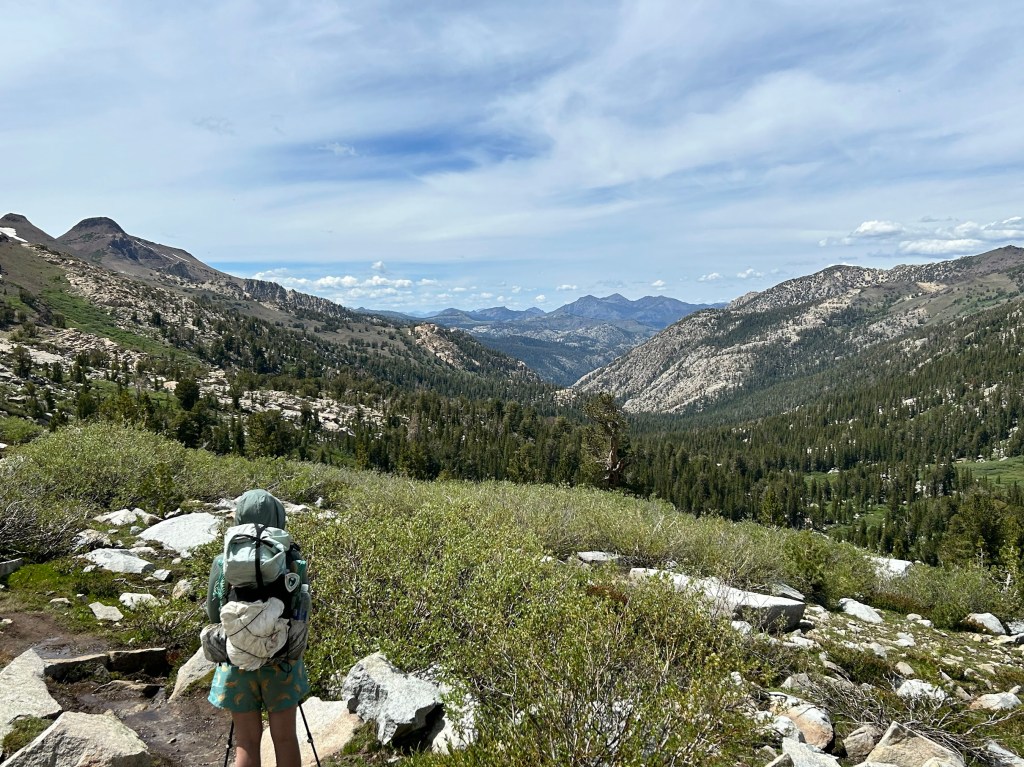
The morning started with a decent uphill ascent, but nothing crazy. Always fun to look back and see where you came from. That’s something I try to keep in mind: look back.
I met Buffer an hour or so later at the first water source. Her water filter seemed to be having the same issue mine did last year.
We would also see some more thru hikers. I think we were a little bit ahead of “the bubble” for the 2026 Class, but there really is no singular bubble anymore like there used to be. Thru hikers spread out all over the trail due to differing start dates, paces, injuries, and just sheer volume these days. Which is how it should be. We want everyone to experience the trail on their own time and as they want to.
We got to a nice water source and I laid down to rest.
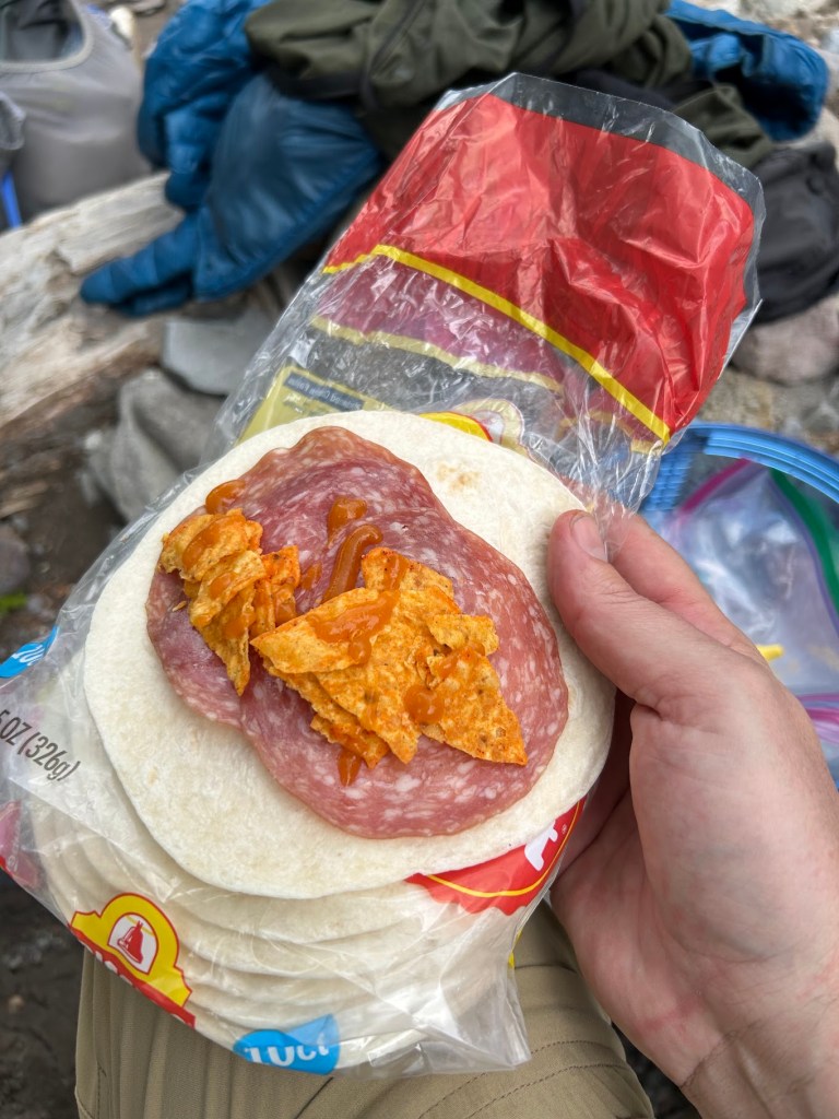
Then we decided it was lunch time so we stayed around.
Lunch
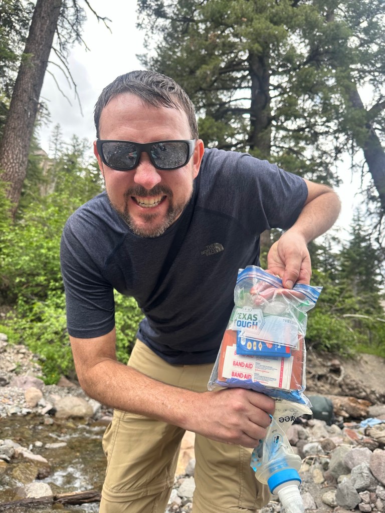
I realized how Texan my HEB “Texas Tough” ziplocks were and we both had a good laugh at my state’s hubris.
We continued on after lunch and I was preparing mentally for a big climb. I would find out later that this is where Buffer and I’s hiking styles differ quite a bit. I’ll explain after the next few videos.
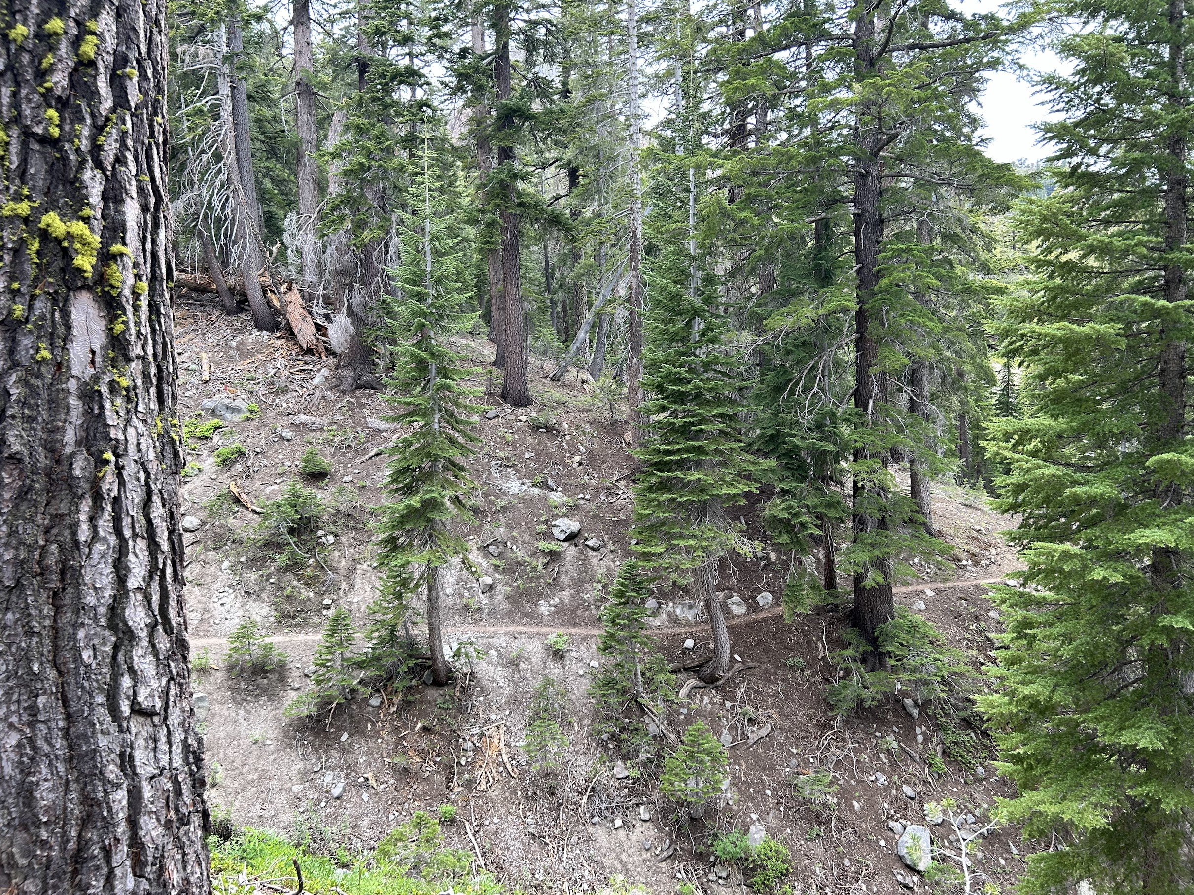
Cool trail
At camp, Buffer would take me aside and let me know that voicing my opinion about upcoming terrain (ups or downs) would interfere with her ability to enjoy the hike. I didn’t realize it, but for me, that’s one of the parts I actually really enjoy: the planning and looking at the map for the rest of the day and the coming days. There’s nothing wrong with either style, they are just different. I do wish we had had a discussion about that prior to beginning our hike, along with our actual mileage expectations, but I’m not sure either of us realized how much it would affect our experiences.
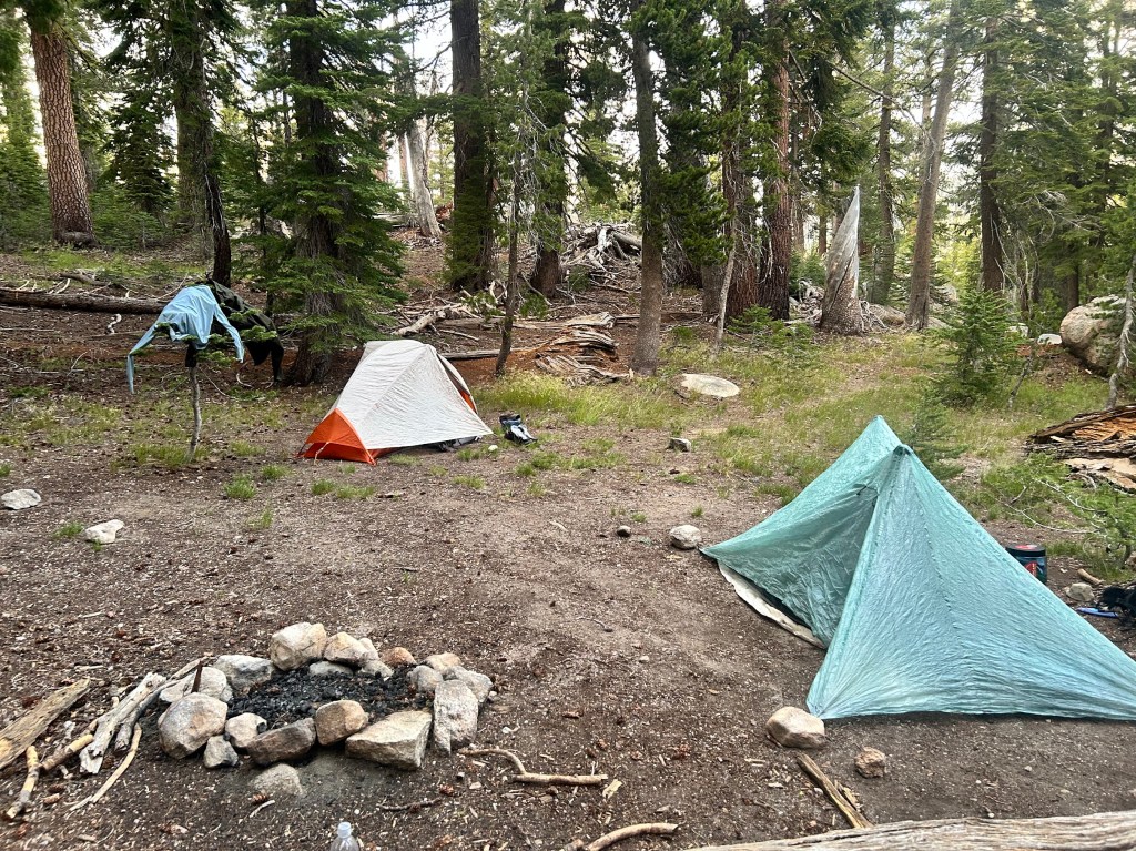
Buffer, if you’re reading this, I absolutely loved hiking with you and would do it again, just with different expectations and an understanding of how we best work together. When we got to the pond (Noble Lake), I set up my tent and Buffer decided to continue on the 4 miles to Ebbett’s Pass and have Shawn pick her up that night. I think she wasn’t ready to quit for the day. That’s ok. “Hike Your Own Hike” is a saying for a reason. We decided to meet back up the following day at the Pass.
“Hike your own hike, but also don’t be a dick.” – Buffer
Well it took me a while, but I’m finally writing my blog for my section hike this summer. I hiked Nobo (northbound on trail) with Buffer, my friend from South Lake Tahoe that I met a couple of years ago when I took a trail maintenance course near Truckee. She and her partner Shawn are amazing people and I am forever grateful for their kindness and commitment to the hiking community.
I flew in to Reno a couple of days before our planned start date so I could acclimate to the altitude a bit. Coming from 400 feet in Austin to over 6000 in Tahoe and then 9000+ at the trail head means I needed to chill for a bit and Tahoe is a great place to do just that.
Luckily, with my fully remote work schedule, I was able to work from their house and not burn two extra days of PTO. It also gave me plenty of time to finalize gear and food, though I never get food right. I think I will forever tinker with my food system. I’ve always been picky and backpacking food seems to really challenge me.
Anyway, let’s get to the hiking!
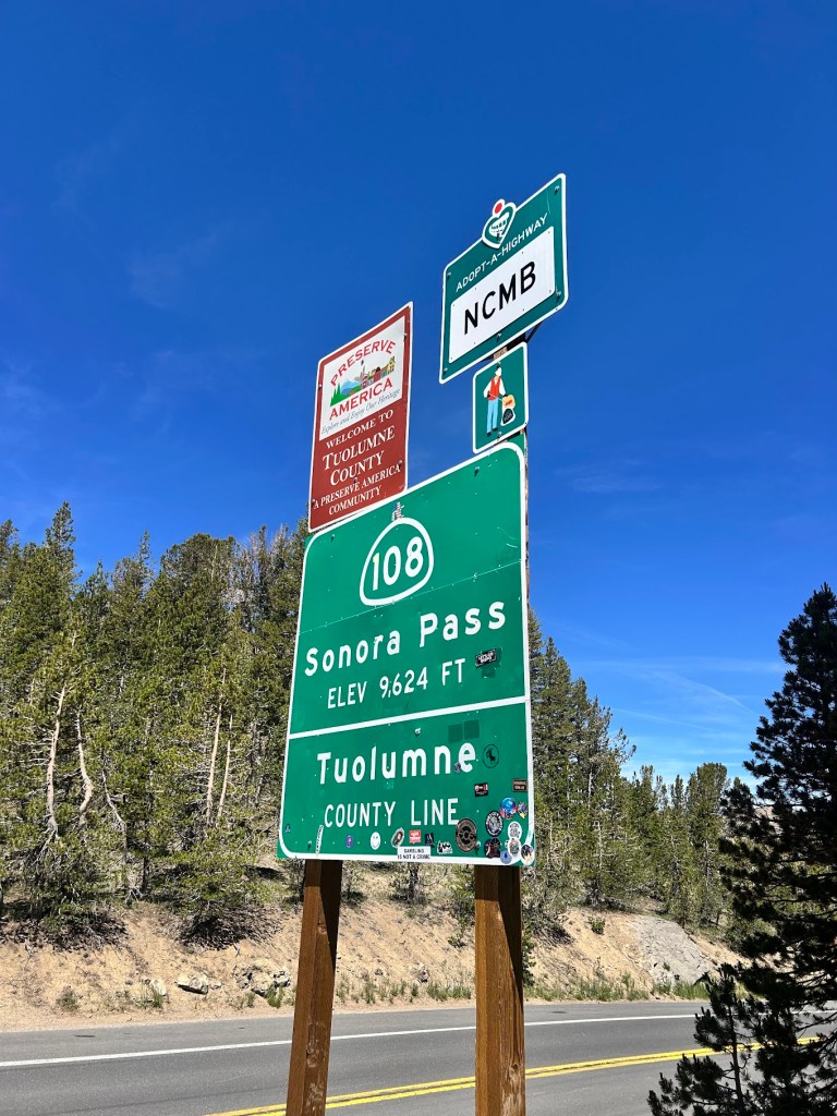
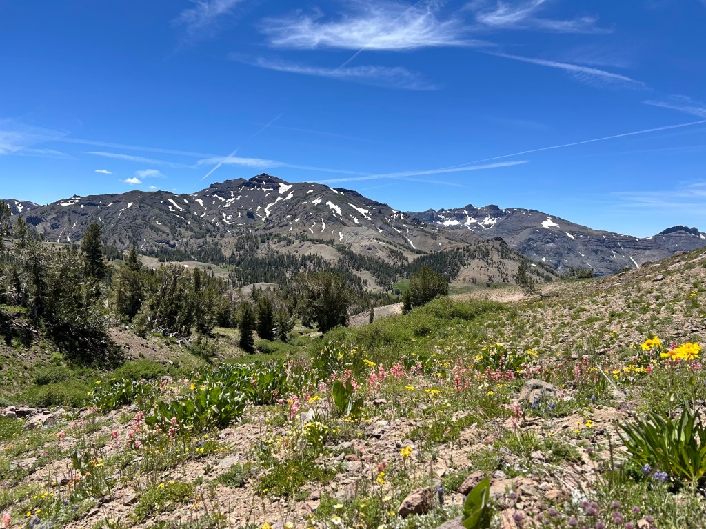
We started on trail around noon after a Chik-Fil-A breakfast (I also got a spicy chicken sammich that I packed in for lunch/dinner) and reached our high point of just over 10,000 feet at Sonora Peak only a couple of miles in. After that, we headed down into a canyon for most of the day. The scenery was beautiful and we barely saw any other hikers past the trail head until we reached camp for the night.
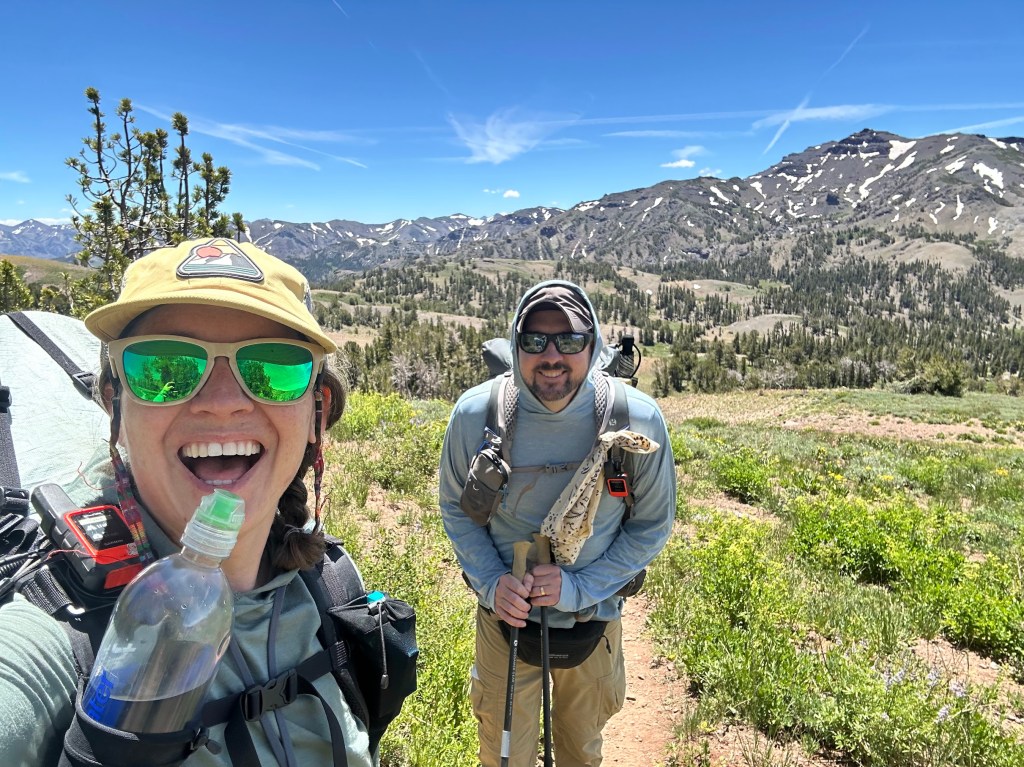
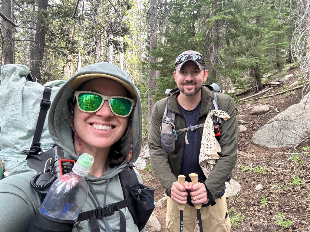
Buffer took selfies every mile or so. Thanks Buffer!
There was still a bit of snow in places, though nothing that would have required micro spikes or ice axes. It was a pretty low snow year in the Sierra. Thanks to Buffer for the videos and pics of me hiking, which I normally don’t have many of.
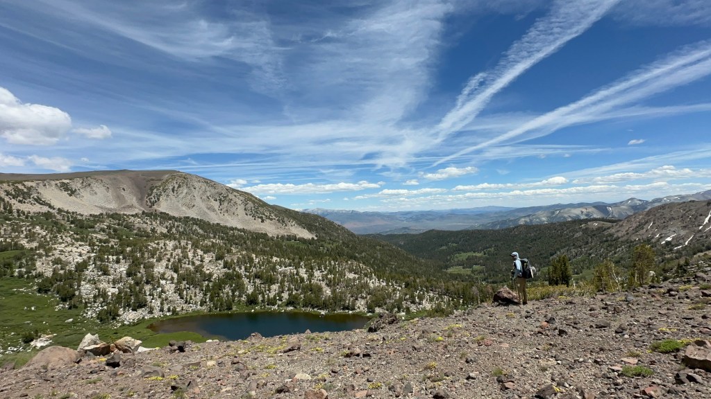
Snack break at a beautiful view
As we wound down into the canyon, it was nice to have someone to chat with about life and hiking. It is quite different than being alone with your own thoughts.
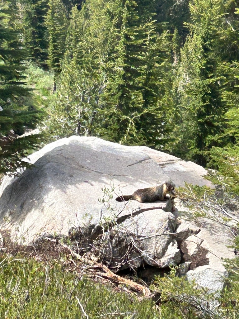
Of course, marmots were about.
Another selfie!
Water in the northern Sierra is plentiful. We really only needed a liter at a time, though I usually had 1.5 to 2 because I’m paranoid.
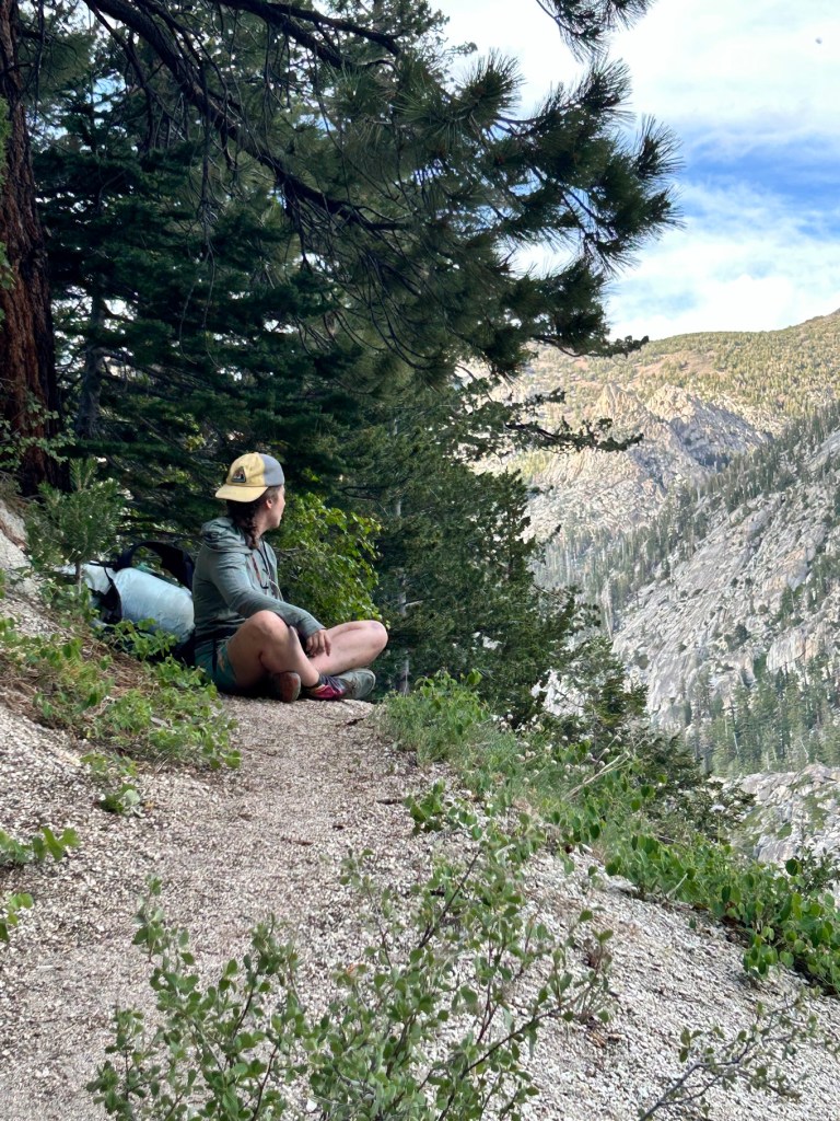
One of my favorite pics of the hike.
Buffer
We climbed out of the canyon for another mile or so to get to a campsite on higher ground, but still sheltered. We met a thru hiker at camp named Shake, who we would leapfrog and hang out with for the next couple of days. He was one of the more interesting hikers I’ve ever met (aren’t they all?). It was a lovely first day and we both slept well, despite Buffer forgetting her tent stakes and having to make due with big rocks to keep her tent upright. It worked! 🙂