PCT Section Hike – Sierra Nevada – Day 4

Carson Pass to Echo Summit (Hwy 50) Slackpack – 14.2 miles

PCT Mile 1077.7 – 1091.9

July 4, 2026

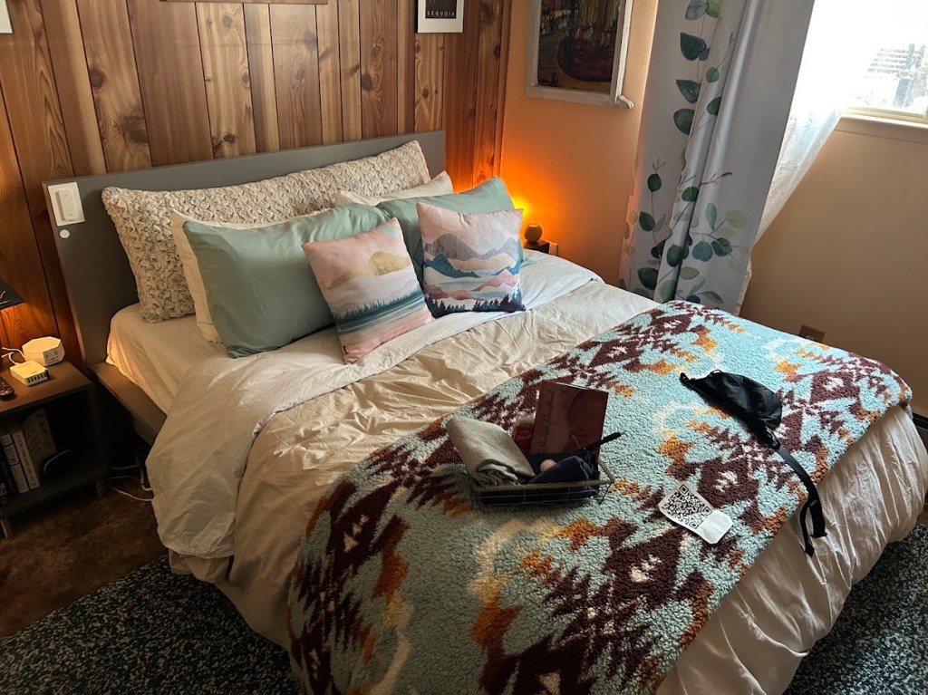
A night of rest back in bed really hit the spot. We still wanted to come back and watch the 4th of July fireworks, so we decided to skip the section from Ebbett’s Pass to Carson Pass (28.4 miles) and slack pack from Carson Pass to Echo Summit instead. Slack packing means you are just day hiking, so you don’t need to pack your tent, all your food, and heavier items that you would normally carry when camping on trail. This was my first slack pack on a long trail and I highly recommend it, if the opportunity presents itself.

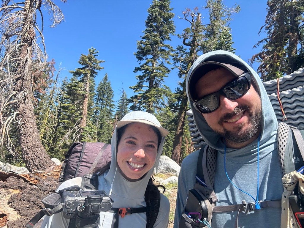
Shawn drove us to the parking lot at Carson Pass in the morning and we met up with another hiker named Bugs that was also day hiking that section and Buffer happened to have met him on her 2023 hike. It’s so crazy how the trail brings people back together. We also learned that he lived in South Lake Tahoe only a few blocks from Buffer! Shake was also in the parking lot and we would meet back up with him later down the trail.
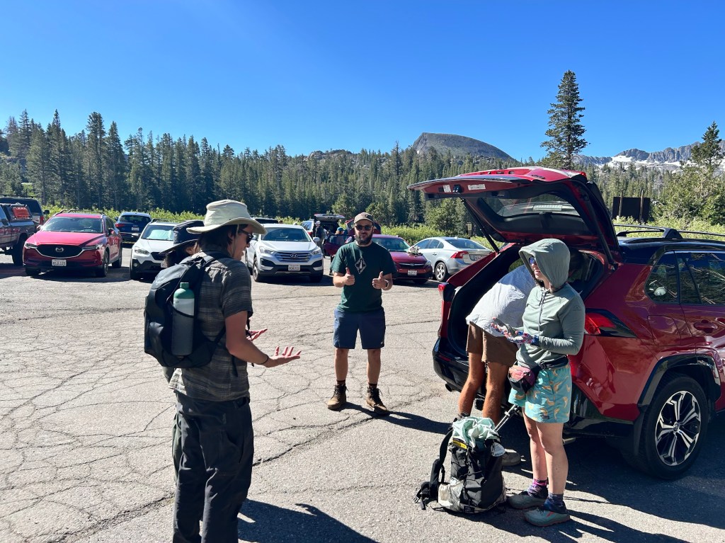
L to R: Bugs, Shawn, Shake (digging in the trunk), and Buffer

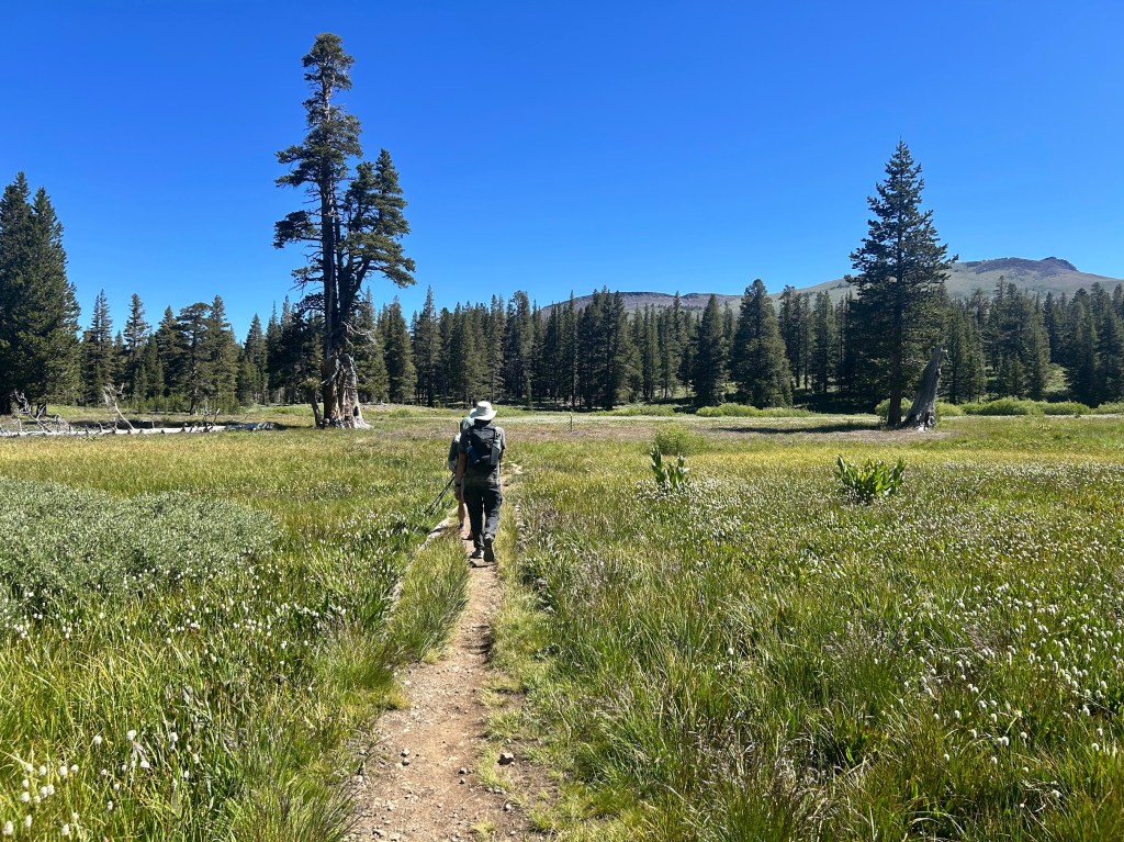
Not only were we slackpacking, but this section was also super flat for the most part.
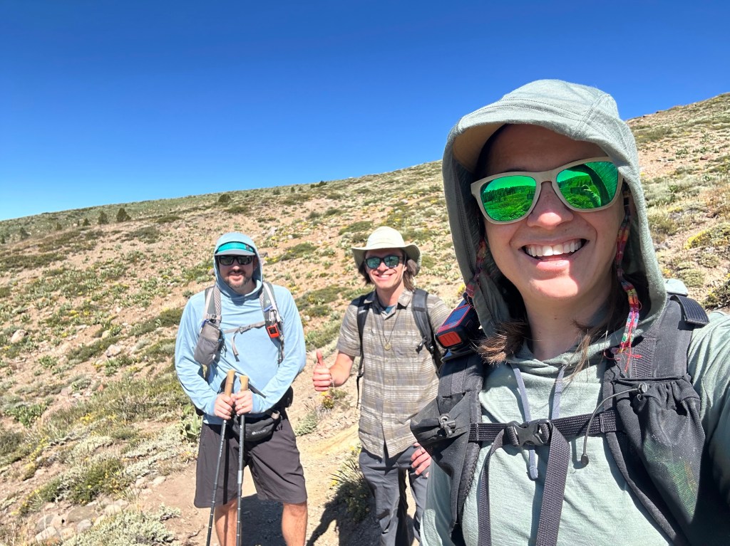
Me (Hummingbird), Bugs, and Buffer

At our lunch break, we ran into Shake and he joined our little trail family for the rest of the day.
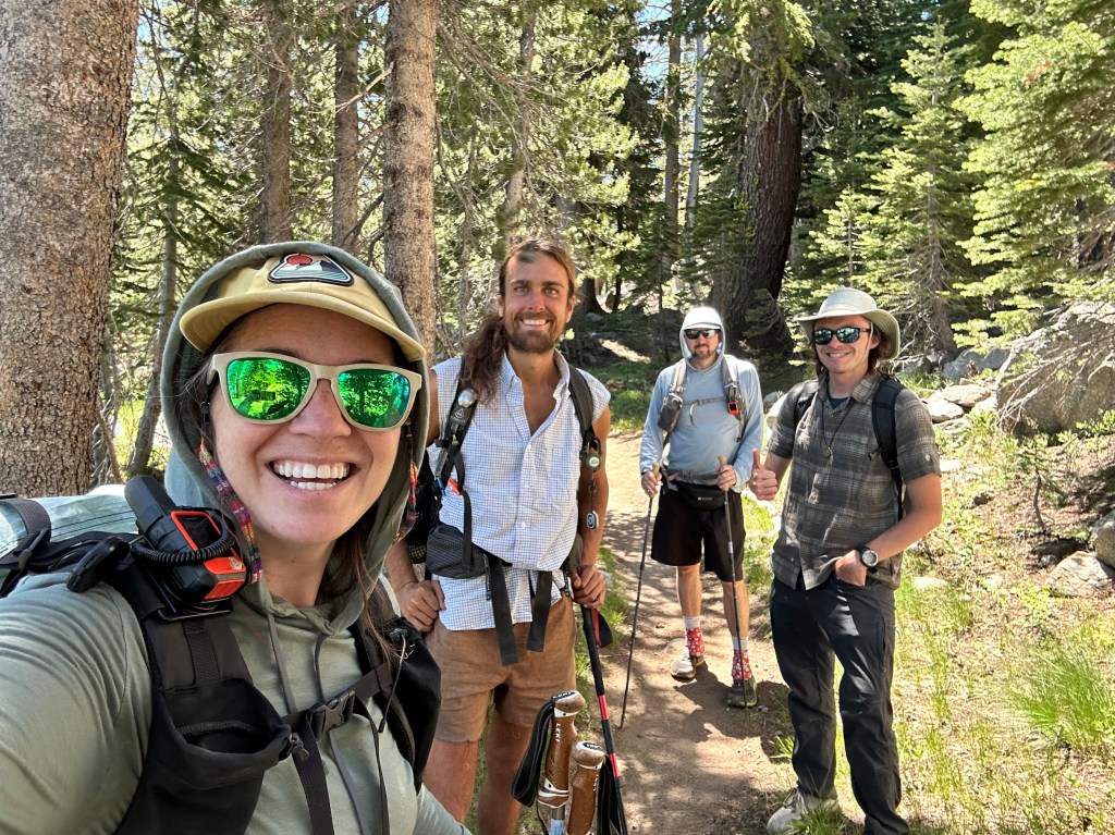
L to R: Buffer, Shake, Hummingbird, Bugs

Showers Lake was about halfway through the hike and we stopped for a bit to soak our feet and soak in the beauty.
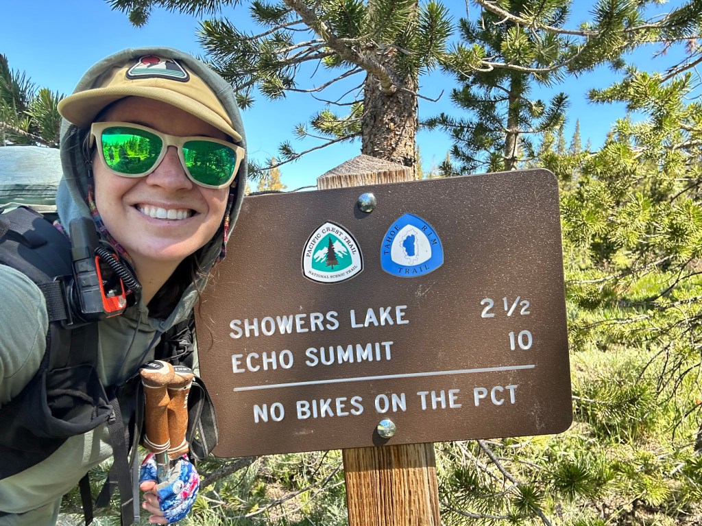
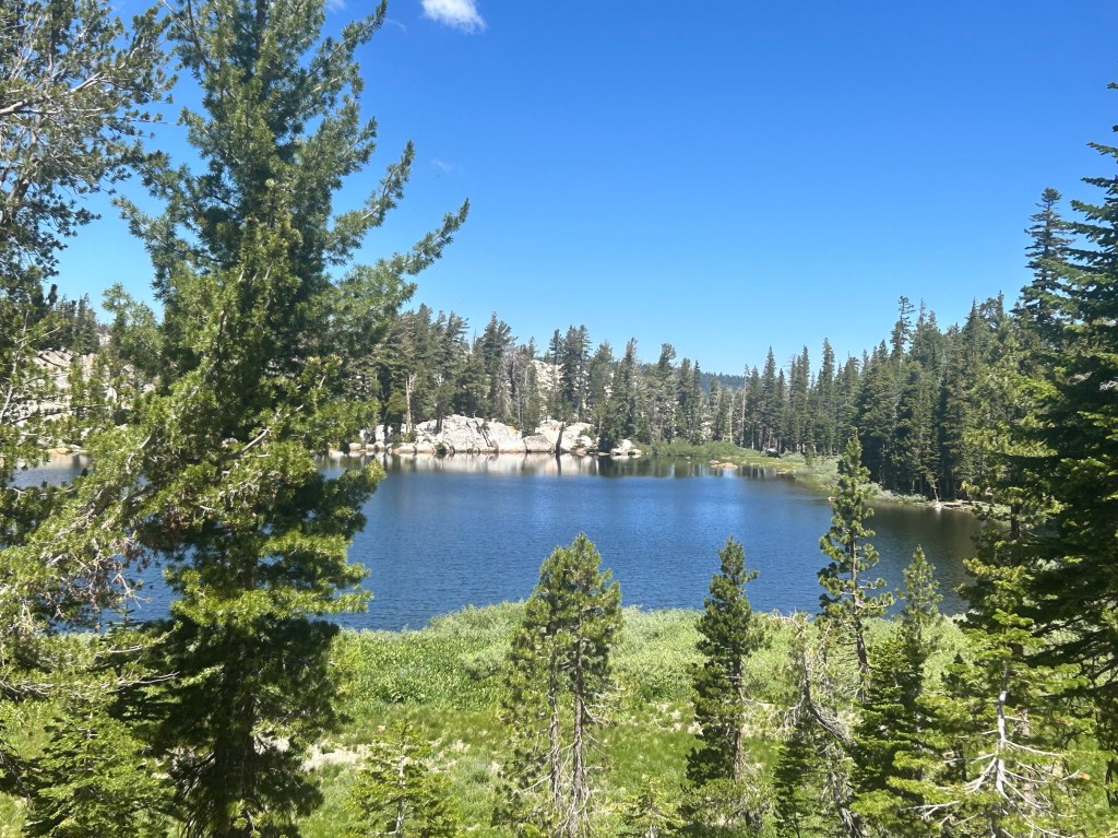
Showers Lake

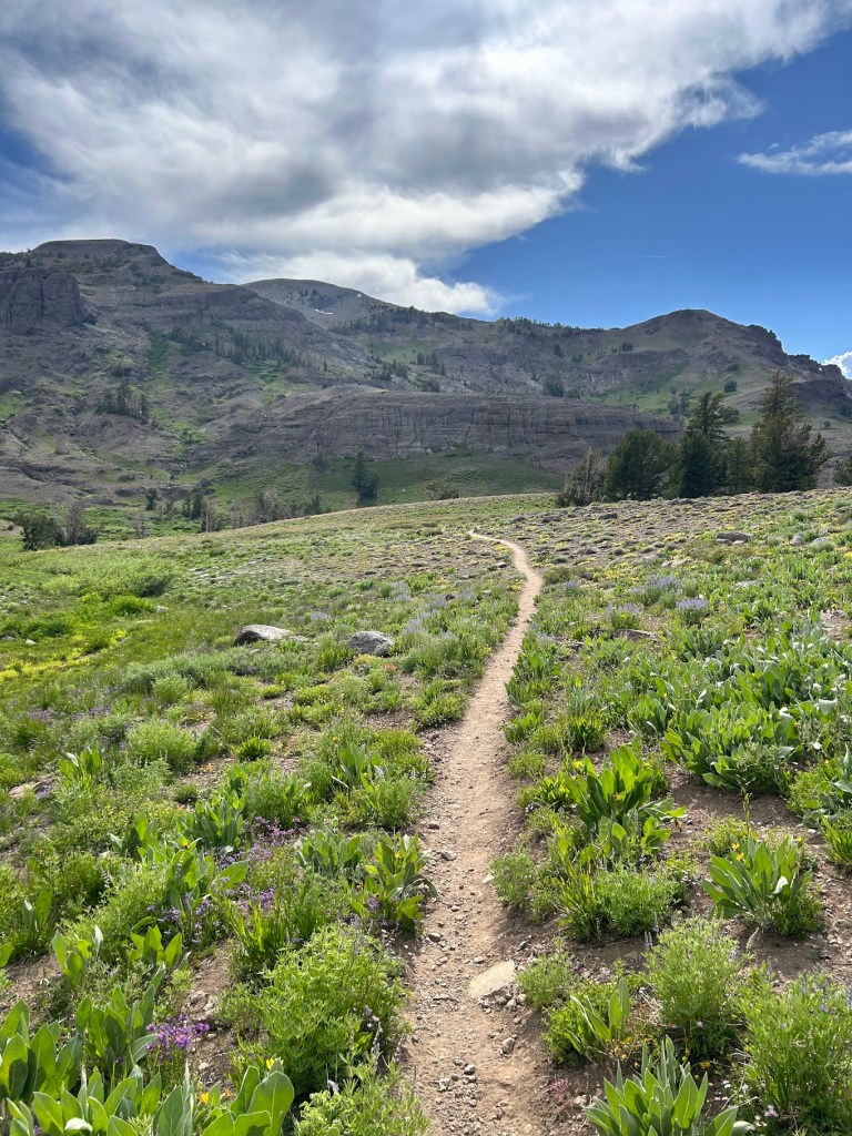
We continued walking through beautiful wildflowers and would soon get our first view of Lake Tahoe from the south.
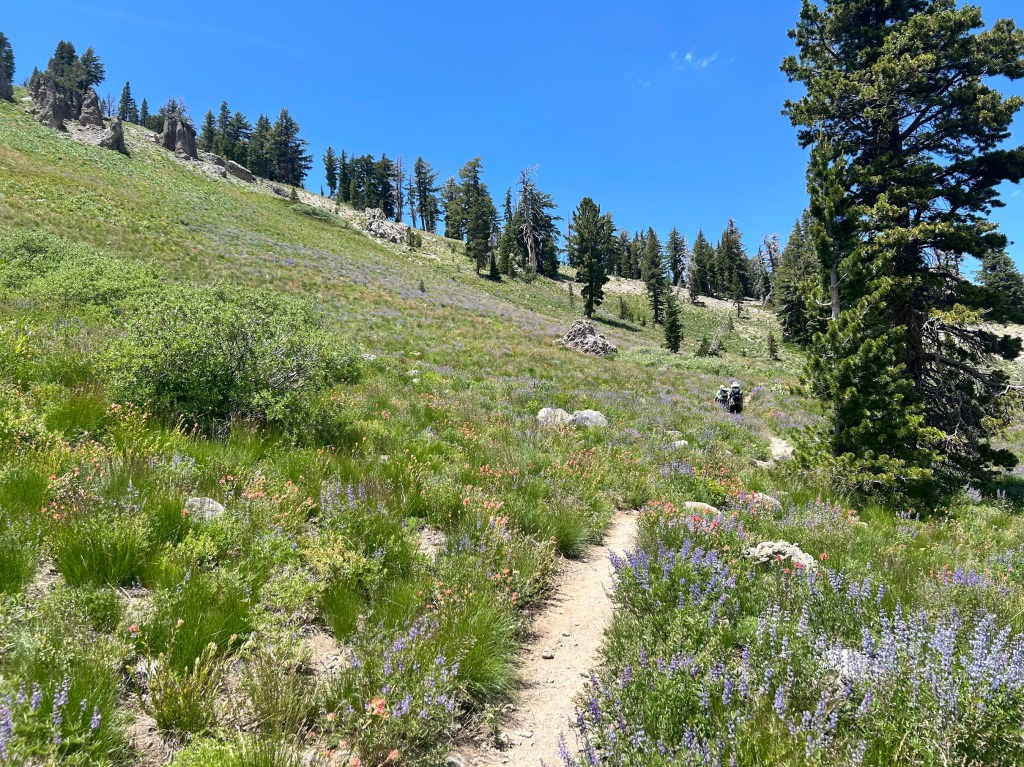
The trail started to descend to the summit (counterintuitive) and would split off from the Tahoe Rim Trail and also cross paths with the original Pony Express Trail.

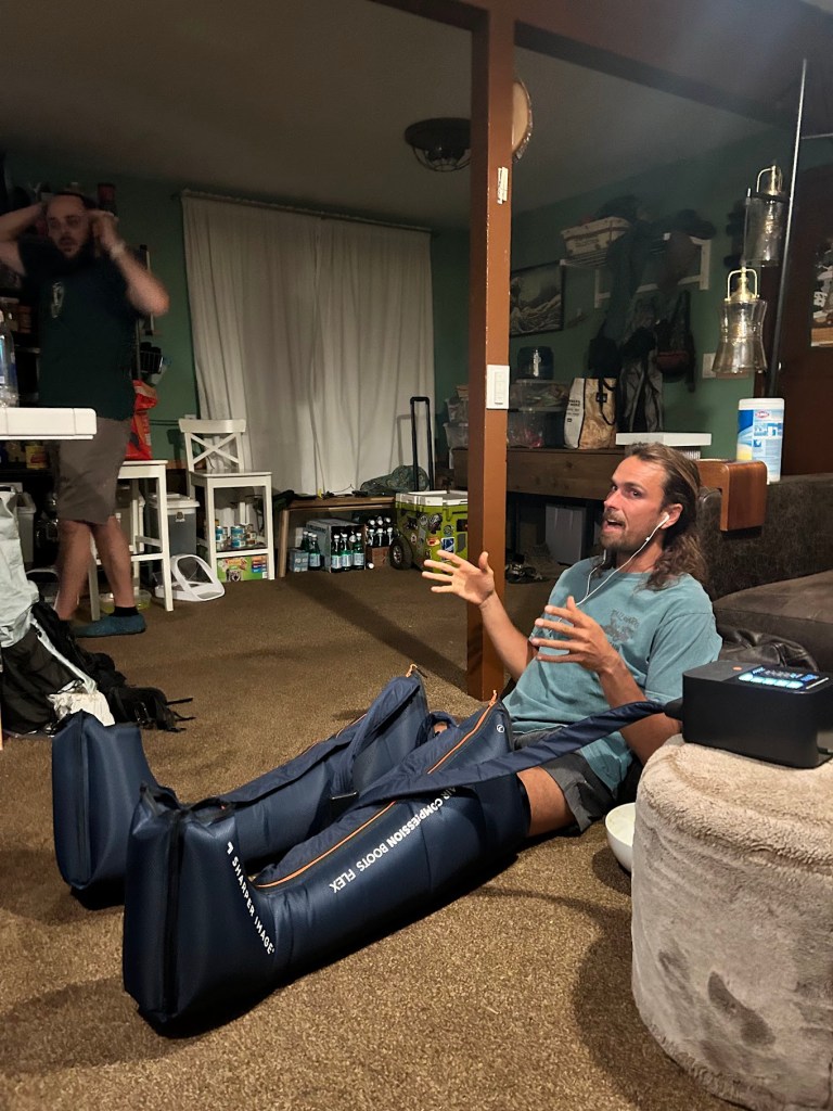
We got home and relaxed for a bit before going to the beach for fireworks. Buffer busted out her leg compression sleeves that she used when rehabbing her torn ACL for the past 18 months or so. I thought they were awesome. Shake also partook.
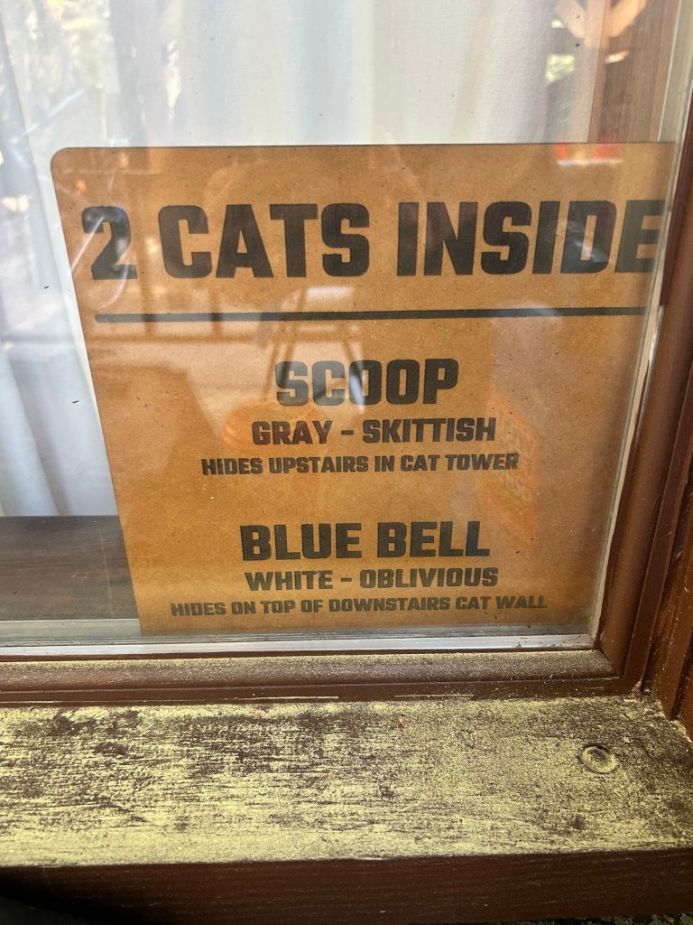
in case of fire, save the kitties!

PCT Section Hike – Sierra Nevada – Day 2

Bushcamp to Gross Pond (Noble Lake) – 16.3 miles

PCT Mile 1029 – 1045.3

July 2, 2026

The morning started with a decent uphill ascent, but nothing crazy. Always fun to look back and see where you came from. That’s something I try to keep in mind: look back.

I met Buffer an hour or so later at the first water source. Her water filter seemed to be having the same issue mine did last year.

We would also see some more thru hikers. I think we were a little bit ahead of “the bubble” for the 2026 Class, but there really is no singular bubble anymore like there used to be. Thru hikers spread out all over the trail due to differing start dates, paces, injuries, and just sheer volume these days. Which is how it should be. We want everyone to experience the trail on their own time and as they want to.

We got to a nice water source and I laid down to rest.

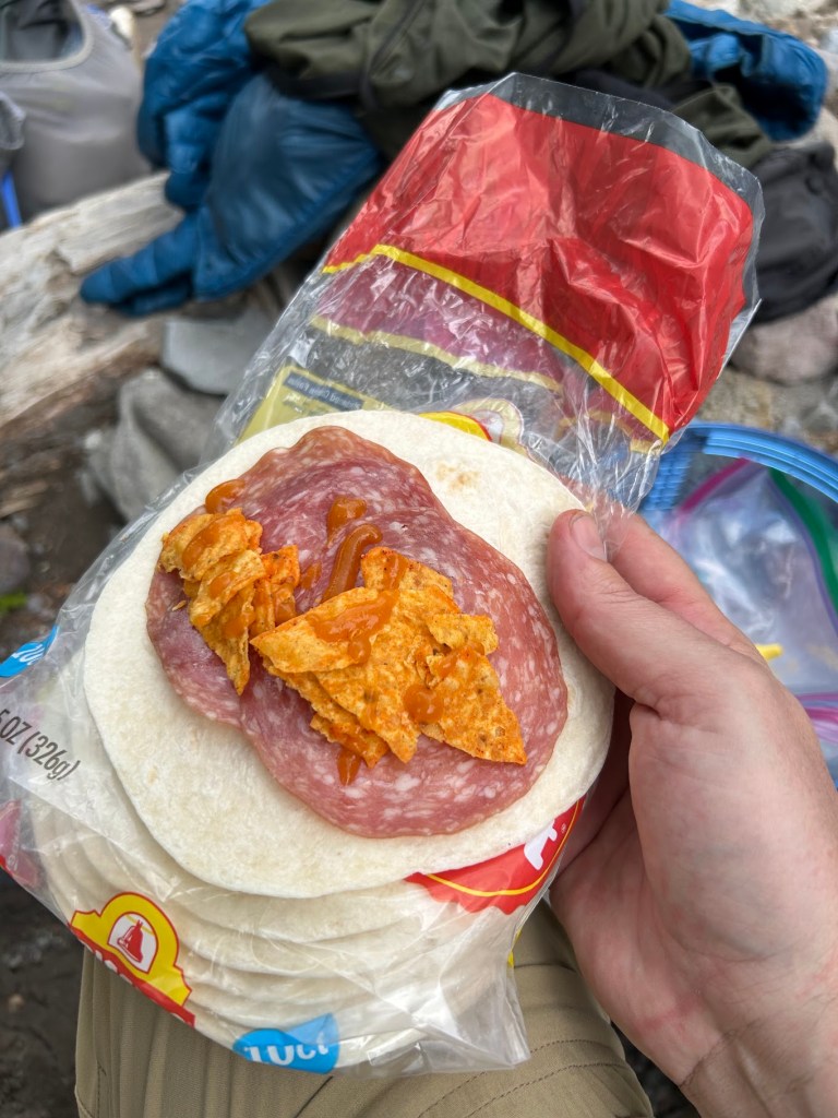
Then we decided it was lunch time so we stayed around.

Lunch

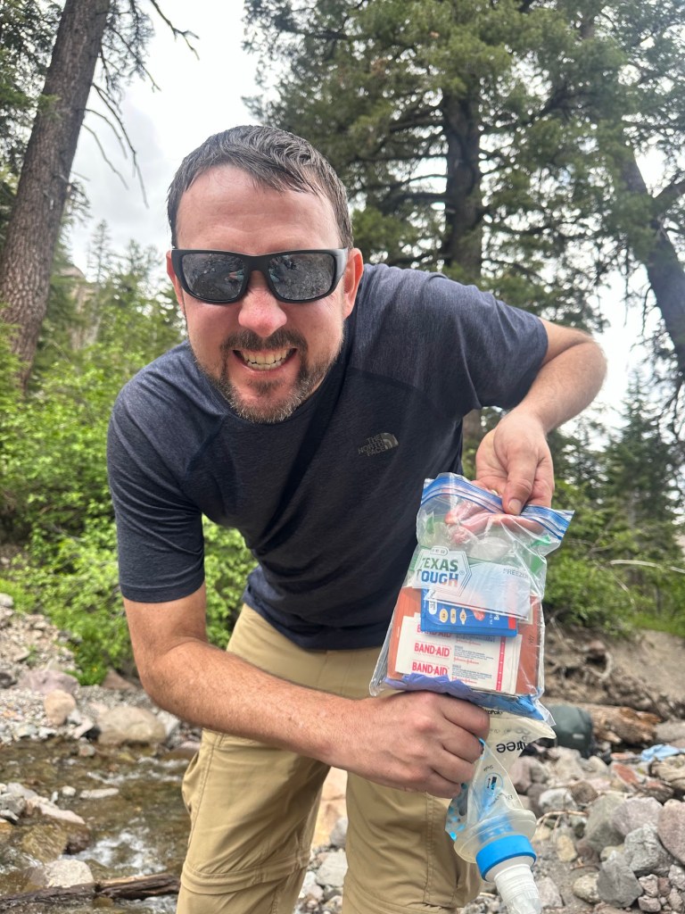
I realized how Texan my HEB “Texas Tough” ziplocks were and we both had a good laugh at my state’s hubris.

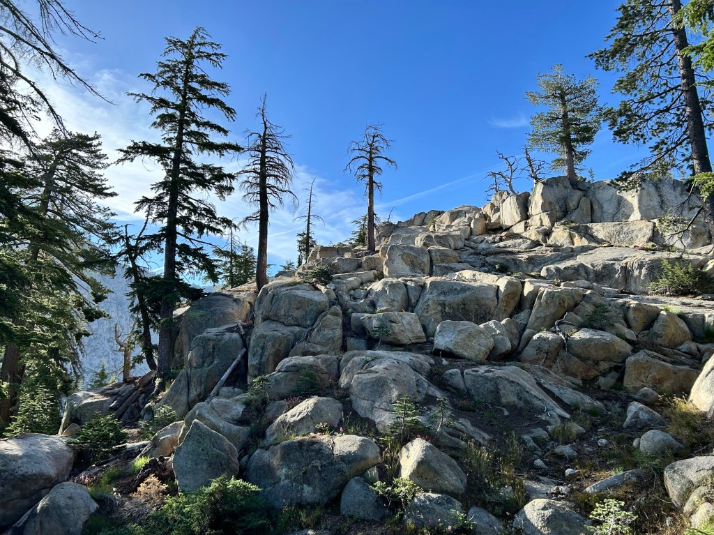
We continued on after lunch and I was preparing mentally for a big climb. I would find out later that this is where Buffer and I’s hiking styles differ quite a bit. I’ll explain after the next few videos.

Cool trail

At camp, Buffer would take me aside and let me know that voicing my opinion about upcoming terrain (ups or downs) would interfere with her ability to enjoy the hike. I didn’t realize it, but for me, that’s one of the parts I actually really enjoy: the planning and looking at the map for the rest of the day and the coming days. There’s nothing wrong with either style, they are just different. I do wish we had had a discussion about that prior to beginning our hike, along with our actual mileage expectations, but I’m not sure either of us realized how much it would affect our experiences.

Buffer, if you’re reading this, I absolutely loved hiking with you and would do it again, just with different expectations and an understanding of how we best work together. When we got to the pond (Noble Lake), I set up my tent and Buffer decided to continue on the 4 miles to Ebbett’s Pass and have Shawn pick her up that night. I think she wasn’t ready to quit for the day. That’s ok. “Hike Your Own Hike” is a saying for a reason. We decided to meet back up the following day at the Pass.

PCT Section Hike – Sierra Nevada – Day 1

Sonora Pass to Bushcamp – 11 miles

PCT Mile 1018 – 1029

July 1, 2026

“Hike your own hike, but also don’t be a dick.” – Buffer

Well it took me a while, but I’m finally writing my blog for my section hike this summer. I hiked Nobo (northbound on trail) with Buffer, my friend from South Lake Tahoe that I met a couple of years ago when I took a trail maintenance course near Truckee. She and her partner Shawn are amazing people and I am forever grateful for their kindness and commitment to the hiking community.

I flew in to Reno a couple of days before our planned start date so I could acclimate to the altitude a bit. Coming from 400 feet in Austin to over 6000 in Tahoe and then 9000+ at the trail head means I needed to chill for a bit and Tahoe is a great place to do just that.

Luckily, with my fully remote work schedule, I was able to work from their house and not burn two extra days of PTO. It also gave me plenty of time to finalize gear and food, though I never get food right. I think I will forever tinker with my food system. I’ve always been picky and backpacking food seems to really challenge me.

Anyway, let’s get to the hiking!

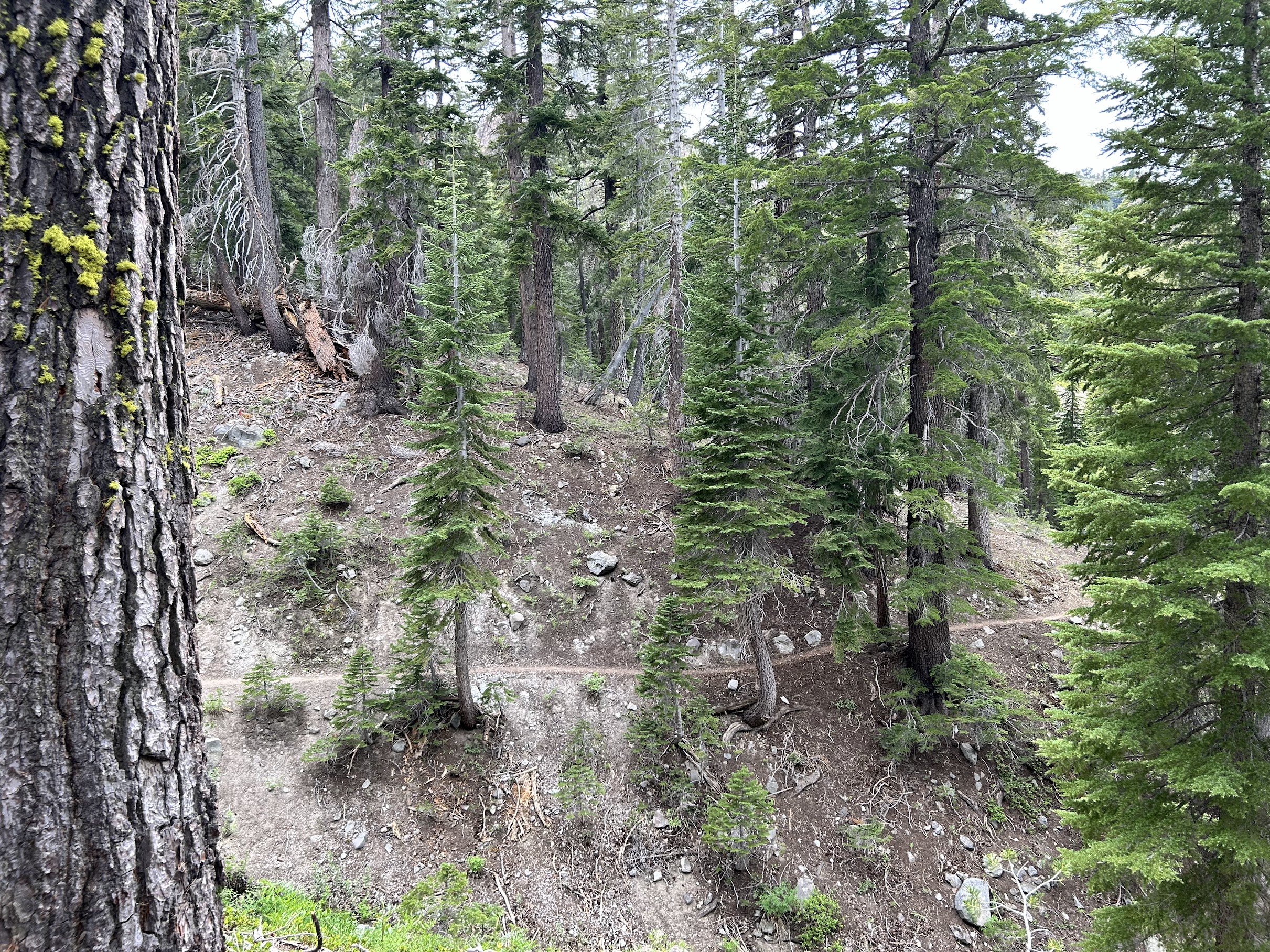
We started on trail around noon after a Chik-Fil-A breakfast (I also got a spicy chicken sammich that I packed in for lunch/dinner) and reached our high point of just over 10,000 feet at Sonora Peak only a couple of miles in. After that, we headed down into a canyon for most of the day. The scenery was beautiful and we barely saw any other hikers past the trail head until we reached camp for the night.

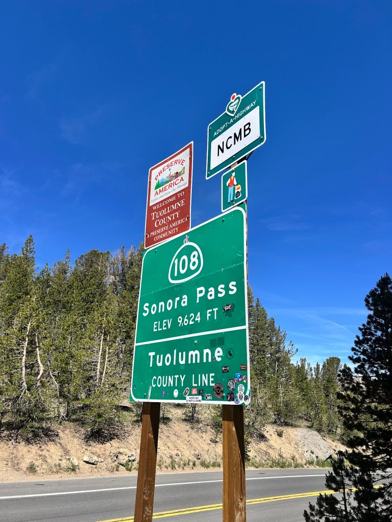
Road sign for Sonora Pass (Elevation 9,624 ft) and Tuolumne County Line, with additional signage for Adopt-a-Highway and a welcome sign.
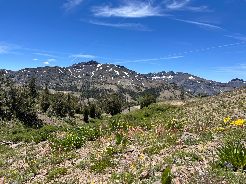
A scenic view of a mountainous landscape with patches of snow on peaks under a clear blue sky. In the foreground, colorful wildflowers bloom on rocky soil, surrounded by greenery and trees.

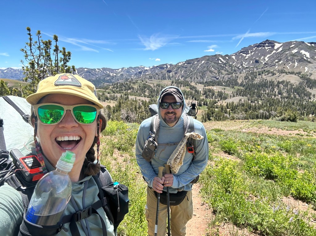
A woman with sunglasses and a hat smiles while holding a water bottle, standing next to a man with sunglasses and a backpack on a hiking trail surrounded by mountains and greenery.
Buffer took selfies every mile or so. Thanks Buffer!

There was still a bit of snow in places, though nothing that would have required micro spikes or ice axes. It was a pretty low snow year in the Sierra. Thanks to Buffer for the videos and pics of me hiking, which I normally don’t have many of.

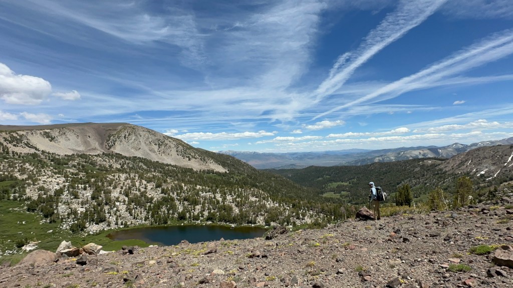
A hiker stands on rocky terrain overlooking a serene lake surrounded by lush greenery and mountains under a blue sky with wispy clouds.
Snack break at a beautiful view

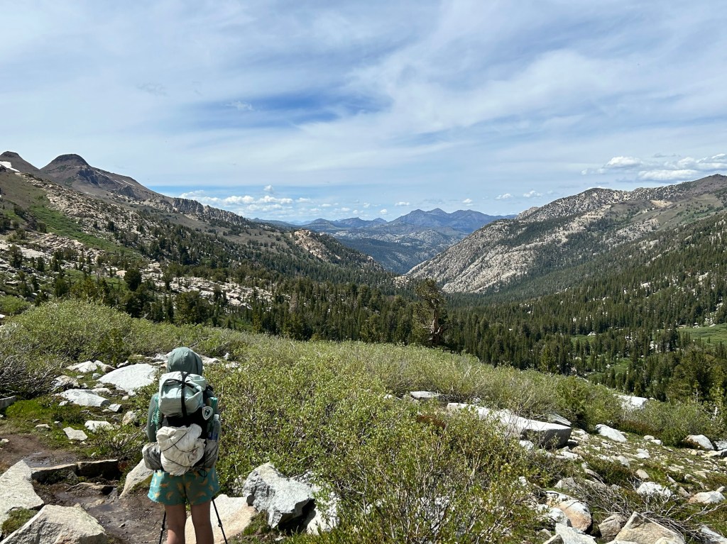
As we wound down into the canyon, it was nice to have someone to chat with about life and hiking. It is quite different than being alone with your own thoughts.

A hiker stands on a rocky path overlooking a lush green valley and mountains under a partly cloudy sky.

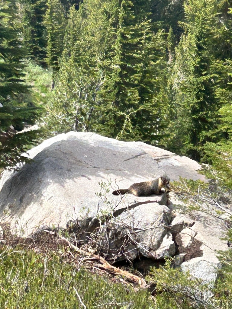
Of course, marmots were about.

A small animal resting on a large rock, surrounded by lush green trees and shrubs in a natural setting.
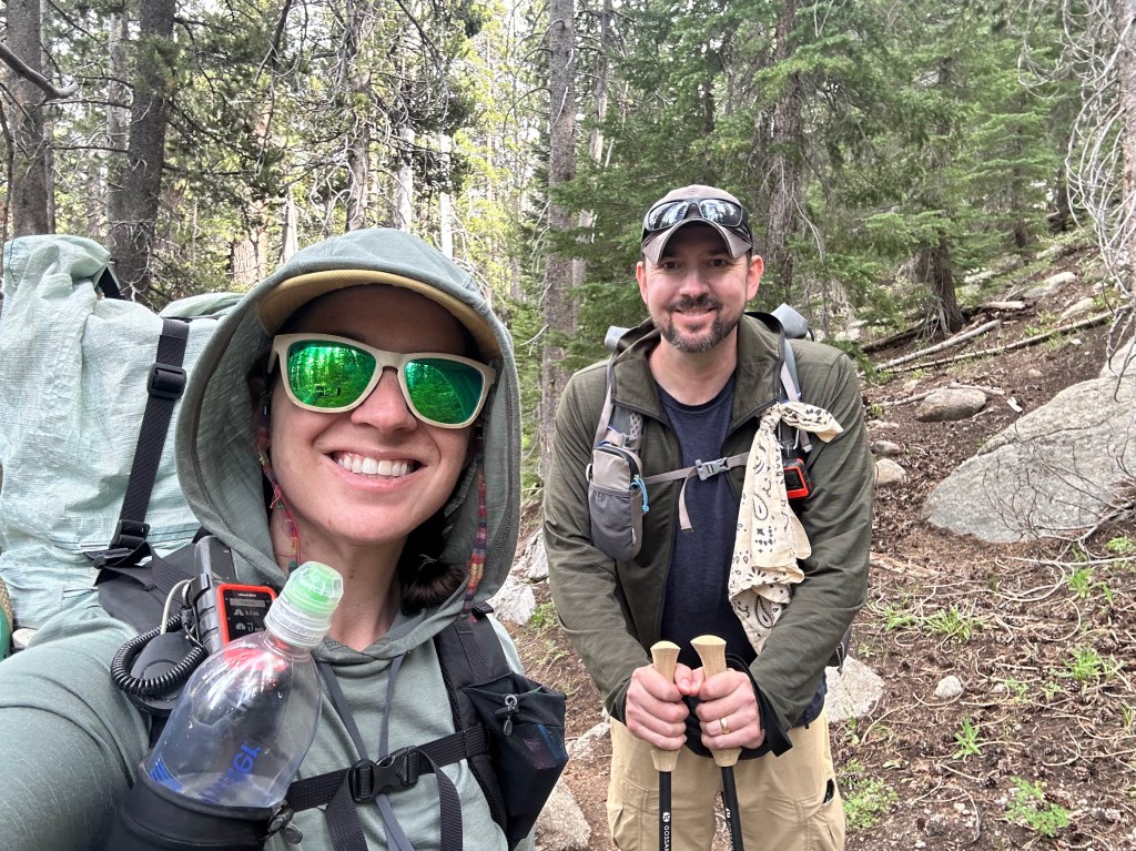
A smiling woman and man in hiking gear, standing on a forest trail surrounded by trees. The woman is holding a water bottle and wearing sunglasses, while the man holds hiking poles.
Another selfie!

Water in the northern Sierra is plentiful. We really only needed a liter at a time, though I usually had 1.5 to 2 because I’m paranoid.

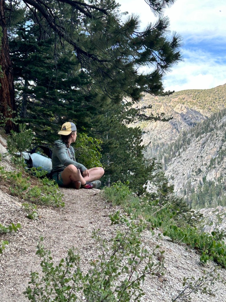
One of my favorite pics of the hike.

A person sitting on a trail overlooking a mountainous landscape, surrounded by trees and greenery.
Buffer

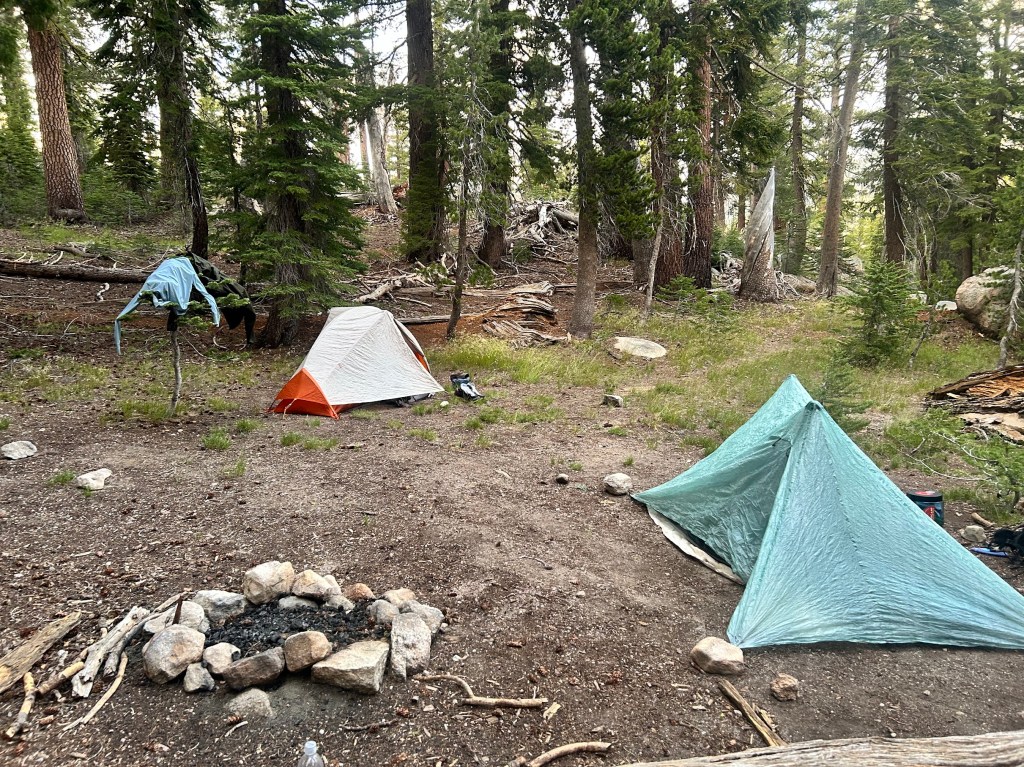
We climbed out of the canyon for another mile or so to get to a campsite on higher ground, but still sheltered. We met a thru hiker at camp named Shake, who we would leapfrog and hang out with for the next couple of days. He was one of the more interesting hikers I’ve ever met (aren’t they all?). It was a lovely first day and we both slept well, despite Buffer forgetting her tent stakes and having to make due with big rocks to keep her tent upright. It worked! 🙂

A campsite in a forest with two tents, one orange and white and another light blue, surrounded by trees and a fire pit made of stones.

Permits and New Gear!

June 6, 2026

Everything is locked in! I got my PCT long distance permit starting July 1st. I am flying into Reno/Tahoe a couple of days early to adjust to the altitude and staying with Buffer and Shawn. Buffer and I will start at Sonora Pass and head northbound. Shawn is going to be our resupply and transportation trail angel. Another hiking buddy of hers (and now mine as well), Sluggy, is going to meet us a couple of days in. He is from England and is going to be on trail for about 45 days, so he’s going to continue going nobo when we get off.

I am planning on getting off at Echo Summit, 75 miles in, or if I’m feeling good, maybe continuing all the way up to Donner Ski Ranch, redoing the section I did in 2024 sobo. I am in the middle of training and trying to find the balance between over-prepping and under-prepping. My left hip was acting up again on a training hike the other day, so I’m going to really focus these next 3 weeks on stretching and proper exercises to strengthen my hip flexors. I think it is more the hip flexor than the IT band.

Also, new gear! We are going to take bear cans the whole way, though I don’t think it’s actually required until the Desolation Wilderness past Echo Summit. Will just be easier logistically and safer for the bears if we have our canisters the whole time. I have my bear can that I used in 2024, but Bear Vault has come out with a new ADJUSTABLE canister that I’m going to try out. It shrinks down when you have extra space so it takes up less room in your pack, which is the hardest part of hiking with a bear can.

Very excited this is all coming together and happy I get to hike with friends, old and new. I will post a couple of more times leading up to the hike and then have a day by day recap when it is all done.

Also, quick reminder that today is D-Day. 82 years ago, our forefathers stormed the beaches and skies over Normandy to start the liberation of Europe and fight the fascist forces that had taken hold. We would do good to remember those brave men and the reason they were fighting when we look at our current world today.

PCT Section Hike 2025 – Day 3 Southbound – Lolo Pass to Ramona Falls 8/19/25

Tuesday, August 19, 2025

10 miles – PCT mile 2117.3 to 2110 + 3.5 mile hike out

Well, sometimes shit happens. I woke up on day 3 and the IT band on my left hip was super sore. This is the other first I was talking about earlier. I’ve never had that pain whilst hiking before. Pain is of course inevitable, but this seemed different. Here’s the video I made when I got back to Portland. Afterwards will be photos from Day 3 of my hike.

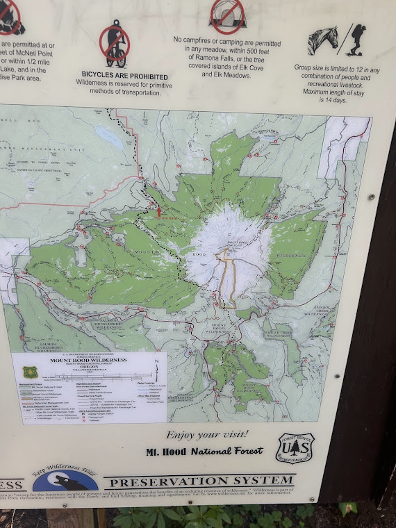
The day began with a big climb and my first Mt Hood view!

Mt Hood Wilderness map
Trail – look at the edges of the trail and you can see the holes from all the hiking poles that most hikers walk with

I descended down another 1000 feet to Muddy Creek and crossed on a log. Right after this was when I started to realize my hip was getting worse.

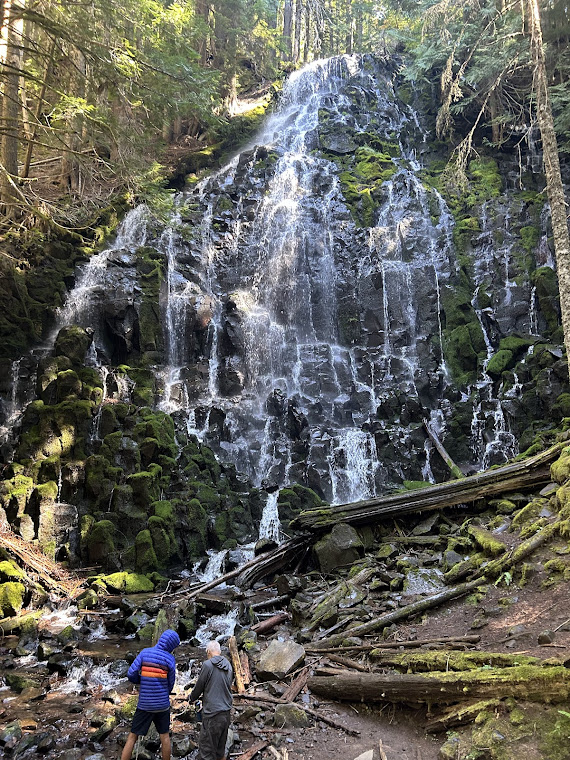
The trail to Ramona Falls was slightly uphill, but my hip made it feel much steeper. It started to become apparent that I may need to bail out. Ramona Falls was beautiful though.

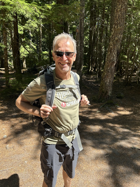
There were plenty of day hikers around. I scoped out who I thought might be a good mark to “yogi” a ride from (thru hiker term) and found Mike and his dog Rogue. He was with another couple as well and I could tell they were good people. The art of yogi-ing a ride is subtle. I started by asking how far it was back to the parking lot and if there was any cell signal there for me to call an Uber. I then explained my predicament and Mike volunteered to take me back to Portland, as his drive brought him near the airport anyway. Success!

Thanks Mike!
and his pup Rogue!
Sadly, parking lot would be my destination

I was about 11 miles short of my intended stopping point of Timberline Lodge on Mt. Hood, but I’ll come back another year. I think I may have undertrained a bit for this trip, compared to my hikes in the previous years and perhaps I also went too fast out of the gate. Regardless, it was a great hike and I got to check some more miles off my ultimate goal of finishing the entire PCT over the coming decades.

PCT Section Hike 2025 – Day 1 Southbound – Cascade Locks to Wahtum Lake 8/17/25

Sunday, August 17, 2025

14 miles – PCT mile 2150 – 2133.4 (using Eagle Creek alternate)

Here’s an overview of my full journey, minus the last day. I brought the wrong cord to charge my Garmin InReach, which is my sattelite beacon that tracks my progress, so the last day wasn’t tracked. I actually ended at the Sandy River and Ramona Falls, for a total of just about 40 miles.

I woke up around 7am, packed up, said my goodbyes, and headed towards the Bridge of the Gods. Instead of heading up the actual PCT there, I continued west under the bridge on the historic Columbia River Highway State Trail. This would follow the highway to the Eagle Creek Trail Head, where I would start heading into the woods.

Mural under the Bridge of the Gods

At the trail head there is a salmon hatchery that I found to be pretty cool.

I started up the trail and soon came to the first of several waterfalls. This is Punchbowl Falls.

More falls – didn’t know the name of this one.

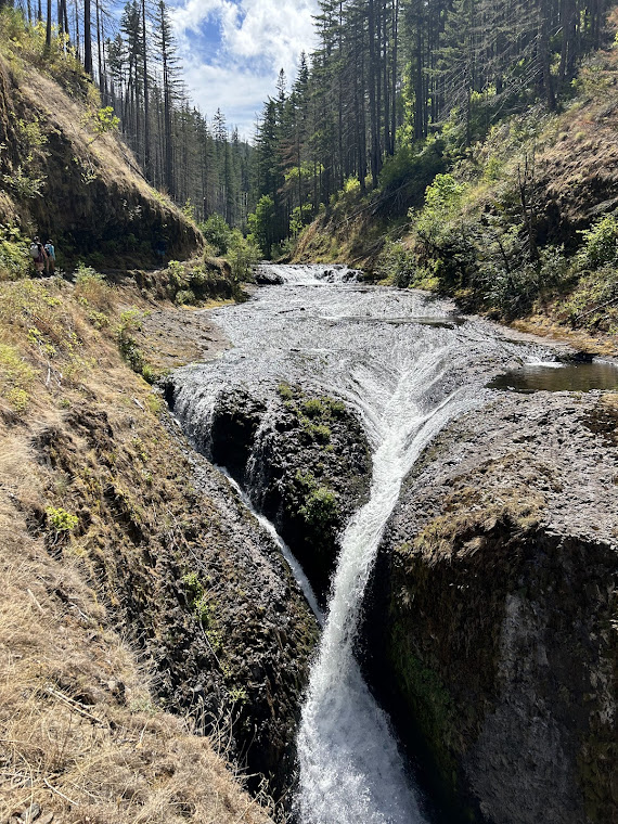
The big highlight of this trail is Tunnel Falls. This was spectacular and is the main reason hikers do this alternate instead of the actual PCT.

After Tunnel Falls, I continued on and found a place to eat lunch and soak my feet in the creek.
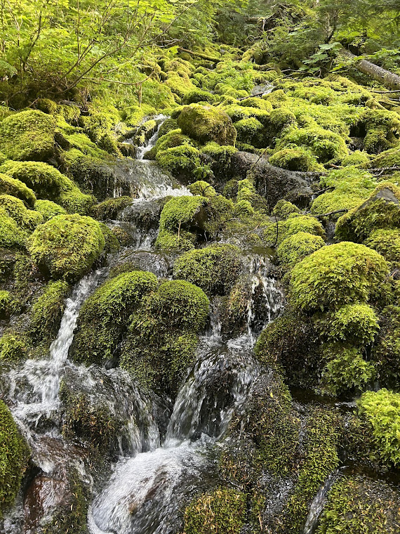
Cliffside trail
Beautiful

It was still early in the day, so I decided to try and go a little further than planned to get a jump on the miles. This ended up being harder than anticipated.
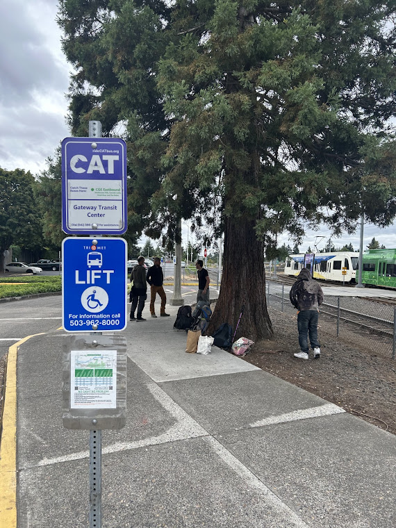
I also remembered I had an app called Dual Gram that allows you to record from both sides of the phone, which is kinda cool.

As I continued up, I looked at the topo map and realized the trail I was originally going to take to meet up with the PCT basically went straight up the mountain with no switchbacks. There was also a question of water once I reached the top. There was another option, which I explain in this video.

This was a good decision in the end. The trail was much nicer and I got to end the day at a lake, which afforded me a brief (but cold) swim. I was also chafing really bad on my thighs, which was the first time in my hiking career that had happened. Luckily, I travel with Aquaphor, which would help me heal up quickly. There would be some other firsts on this trip as well, which I will expound upon later.

I got into camp with about an hour to spare before the sun went down and I was beat. I had my own spot on the edge of the lake and fell asleep quickly.

PCT Days in Cascade Locks

Fri-Sat, Aug 15-16, 2025

As I stepped off the train from the Portland airport, I immediately spied one of my people. You can spot the hiker trash a mile away. The grit and grime of their clothes, the backpacks, the PCT emblem clipped to their back if they are thru-hiking; the hiker uniform is unique.

The weather was typical PNW: chilly, foggy, and humid, with the smell of pines in the air. I joined my fellow hikers on the bus heading to the east on Hwy 84 along the Columbia River. I sat next to a hiker named Whiskey, who had gotten hurt in the Sierra and was just following his still-hiking buddies around at trail towns. When we got off in Cascade Locks 45 minutes later, he astutely asked, “well, now what?”. None of us really knew where to go, but we quickly found our way to the campground and park at Thunder Island.

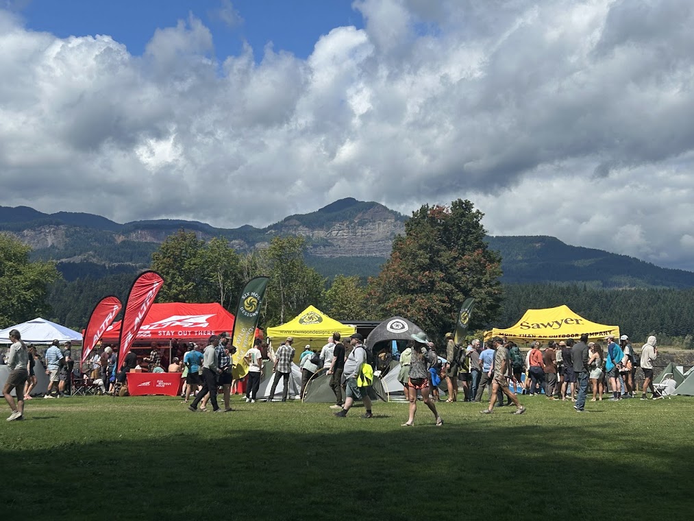
I signed up to volunteer for the weekend, so I got to camp for free on Friday and Saturday nights. My volunteer role was to help out with running the sound, which basically consisted of turning the music down whenever someone needed to make an announcement on the microphone about the various events and gear demos throughout the day. The rest of the time I got to wander around and hang out with hikers and generally have a good time.

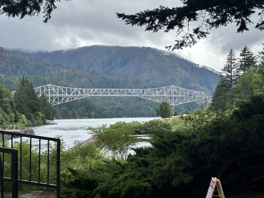
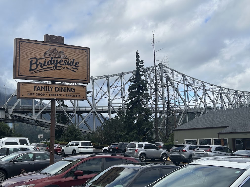
After setting up camp, I walked around the small town of Cascade Locks to get the lay of the land. The historic and iconic Bridge of the Gods spans the Columbia River here and is where the trail crosses from Oregon into Washington.

Cascade Locks is tiny and walkable and full of hikers.

Bridge of the Gods toll booth – hikers walk across here, along with traffic

Overnight on Friday it rained and we all woke up a bit soggy, but ready for another full day of gear, friends, and fun.

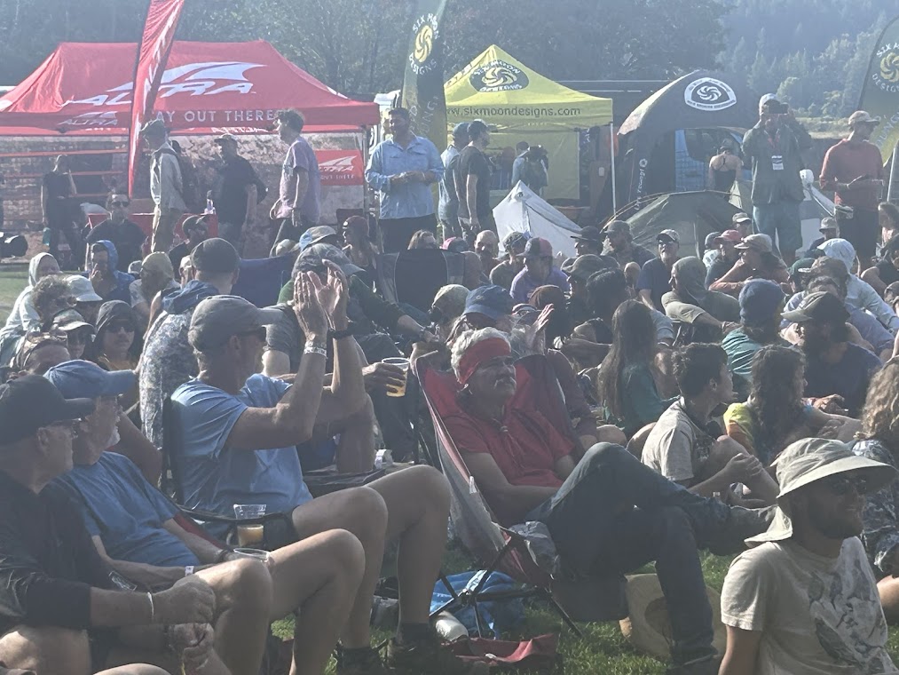
At the end of the day there was a raffle where thousands of dollars of gear were given away. I didn’t get any, but it worked out because I wouldn’t have had anywhere to keep it anyway, since I was hitting the trail the next morning.

Raffle
Some of my internet hiking friends – The Codgers

The weather on Saturday night was much better and we all settled in for a nice sunset and the end of a great weekend. I hit the trail the next morning.

Training for Oregon – Part One

Saturday, July 26, 2025

10.2 miles – Lake Georgetown – Cedar Breaks Trail Head

I went out to one of my favorite training spots near Austin, the loop around Lake Georgetown, early on Saturday morning. I’ve done a few 5 mile hikes with full pack earlier this summer, but am planning on a 10+ miler for the remaining 3 weekends before my hike. This isn’t the most vigorous training schedule, but I’m hoping it should be enough. I’m also getting my peloton rides in and core and other strength training as well.

We’ve had a relatively cool summer so far, due mainly to the flooding over the July 4th weekend and the rains in the weeks after. There were many deaths and people displaced from those floods. The lakes are also mostly full, something that hasn’t happened in many years. As a result, the trail was also very overgrown for July and had plenty of places where I had to contort and squeeze through, while getting scratched up by branches and cacti in the process.

I went just over 10 miles from Cedar Breaks trail head to just past the Cedar Hollow campground, took a break to eat and hydrate, then doubled back. The heat was fine until around 11am, as usual, and the last mile I really started to feel it. Even with a high of only 92, it definitely felt hotter and I was able to break out my umbrella (one of my favorite pieces of gear) to get some shade as I hiked.

And as always, the longhorns were out and about and had even added a donkey to the group since I was last out here.

Map

PCT Section K Southbound – Day 5 – Lake Aloha to Echo Lake Chalet and end of hike 7/19/24

Friday, July 19, 2024

6 miles – PCT mile 1099.5-1093.4

Last day! So of course I got lost. I headed out of camp after saying goodbye to the friends I had made the night before and just walked off into the woods.

Once I found my way back to trail, I hiked on toward civilization. Lake houses became more frequent and sweet-smelling day hikers were passing me coming from the other direction. A couple of hours later, I arrived at Echo Lake Chalet, put my pack down, and went inside to get a snow cone for breakfast. This was the end of Section K of the PCT. 65 miles total.

End of Trail

I was happy and exhausted. My trail angel, Madison (Buffer, PCT Class of 2023, just like me), that I had also met at Trail Skills College before the hike, picked me up and drove me to her house in South Lake Tahoe. She and her boyfriend Shawn (Sean?) pampered me and were a blast to hang out with. He likes Star Wars more than almost anyone I’ve ever met and we got along great.

COMFY bed

Unfortunately, I found out that I had apparently done this entire hike while infected with Covid.

I had started feeling kinda crappy from day one and just pushed through the miles anyway. The daytime wasn’t bad, but at night I would get a super stuffy nose and was definitely coughing the entire hike. I think I may have had fever that night after the 21 mile day.

But I figure I’ve had worse and proved to myself I can take on a solo hike for a week, sickness and all, and do ok. I’m pretty tired of carrying a bear can and would like to not do that on whatever section of the PCT I tackle next.

The next morning, they drove me to Harrah’s in Stateline to pick up the shuttle bus back up to the Reno airport where I met Rayna again to grab my suitcase and headed back to Texas. Great hike. 10/10, would do again.

PCT Section K Southbound – Day 2 – Trail Camp to Five Lakes Basin 7/16/24

Tuesday, July 16, 2024

8 miles – PCT mile 1145-1137

I didn’t go nearly as far as I should have on this day, but sometimes water sources and terrain dictate the day, rather than a mileage goal. It was totally worth hanging out at Five Lakes for a couple of hours to swim.

I woke up and was packed and on trail just after 7am as the sun was starting to peek over the peaks.

I would find my bug net later, don’t worry
favorite trail snack
silent and beautiful

I would soon reach the boundary of the Granite Chief Wilderness, one of two wilderness areas I would hike through on this trip. Wilderness areas were first designated by the 1964 Wilderness Act (click this link for more info).

An excerpt from that act: “A wilderness, in contrast with those areas where man and his own works dominate the landscape, is hereby recognized as an area where the earth and its community of life are untrammeled by man, where man himself is a visitor who does not remain.”

No motorized equipment of any kind (chainsaws, ATVs, etc) are allowed in wilderness areas, meaning any trail maintenance has to be done purely by hand.

Granite Chief Wilderness
one of my favorite pics of the whole hike
I ran into a Nobo hiker named Hummingbird! I had to pose with my trail doppelganger
the trail in this section has endless fields of Wooly Mule’s Ears plants

I hiked on and got to the 5 Lakes Basin early in the afternoon, where I decided it was time to swim. I couldn’t camp right by the lake, but it was worth the .2 mile detour.

arriving at 5 Lakes Basin
Swim!
Ducks!

Once I was done with my swim I headed back to camp and realized I had only gone 8 miles today, instead of my intended 12-15, which threw me into a momentary panic about mileage. I was faced with a 1000 foot climb out of camp and no water for several miles if I were to continue today. After a campsite mate talked me down from the ledge, I realized I would just have to push mileage a bit more than I wanted the next couple of days to get back on track. I settled in for the evening and prepared for a long day tomorrow.