PCT Section Hike – Sierra Nevada – Day 1

Sonora Pass to Bushcamp – 11 miles

PCT Mile 1018 – 1029

July 1, 2026

“Hike your own hike, but also don’t be a dick.” – Buffer

Well it took me a while, but I’m finally writing my blog for my section hike this summer. I hiked Nobo (northbound on trail) with Buffer, my friend from South Lake Tahoe that I met a couple of years ago when I took a trail maintenance course near Truckee. She and her partner Shawn are amazing people and I am forever grateful for their kindness and commitment to the hiking community.

I flew in to Reno a couple of days before our planned start date so I could acclimate to the altitude a bit. Coming from 400 feet in Austin to over 6000 in Tahoe and then 9000+ at the trail head means I needed to chill for a bit and Tahoe is a great place to do just that.

Luckily, with my fully remote work schedule, I was able to work from their house and not burn two extra days of PTO. It also gave me plenty of time to finalize gear and food, though I never get food right. I think I will forever tinker with my food system. I’ve always been picky and backpacking food seems to really challenge me.

Anyway, let’s get to the hiking!

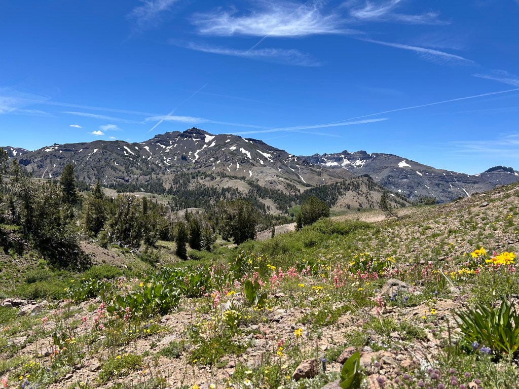
We started on trail around noon after a Chik-Fil-A breakfast (I also got a spicy chicken sammich that I packed in for lunch/dinner) and reached our high point of just over 10,000 feet at Sonora Peak only a couple of miles in. After that, we headed down into a canyon for most of the day. The scenery was beautiful and we barely saw any other hikers past the trail head until we reached camp for the night.
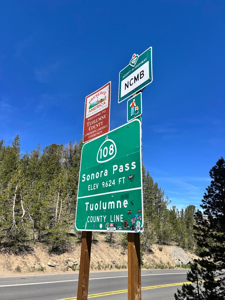
Road sign for Sonora Pass (Elevation 9,624 ft) and Tuolumne County Line, with additional signage for Adopt-a-Highway and a welcome sign.
A scenic view of a mountainous landscape with patches of snow on peaks under a clear blue sky. In the foreground, colorful wildflowers bloom on rocky soil, surrounded by greenery and trees.

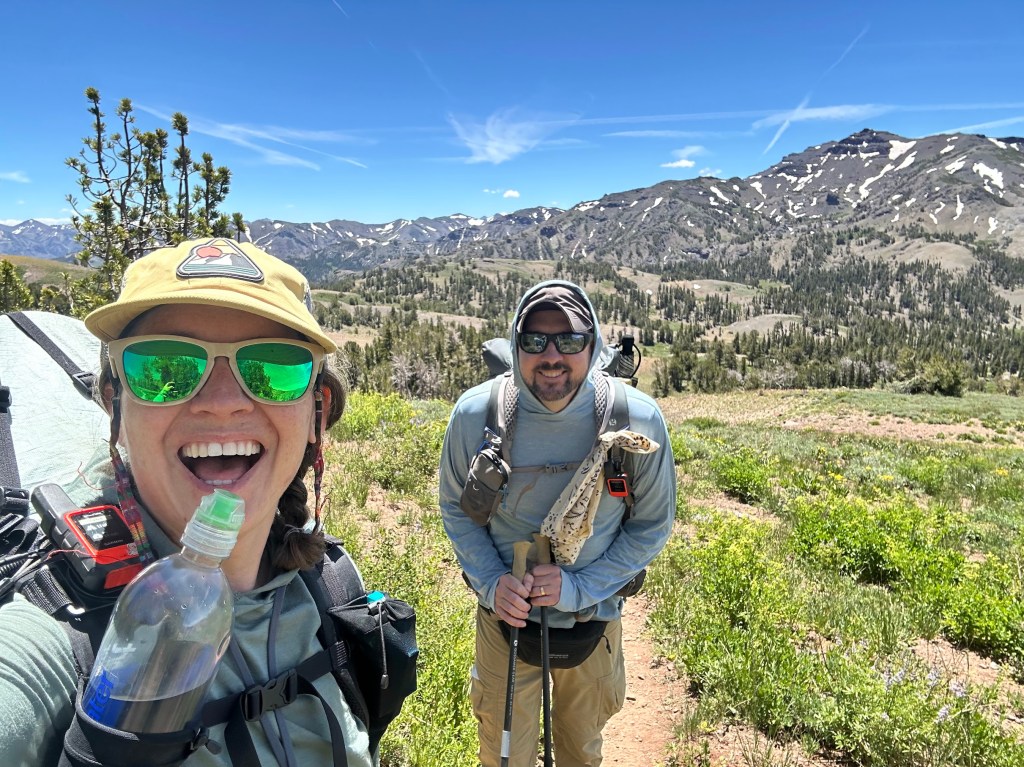
A woman with sunglasses and a hat smiles while holding a water bottle, standing next to a man with sunglasses and a backpack on a hiking trail surrounded by mountains and greenery.
Buffer took selfies every mile or so. Thanks Buffer!

There was still a bit of snow in places, though nothing that would have required micro spikes or ice axes. It was a pretty low snow year in the Sierra. Thanks to Buffer for the videos and pics of me hiking, which I normally don’t have many of.
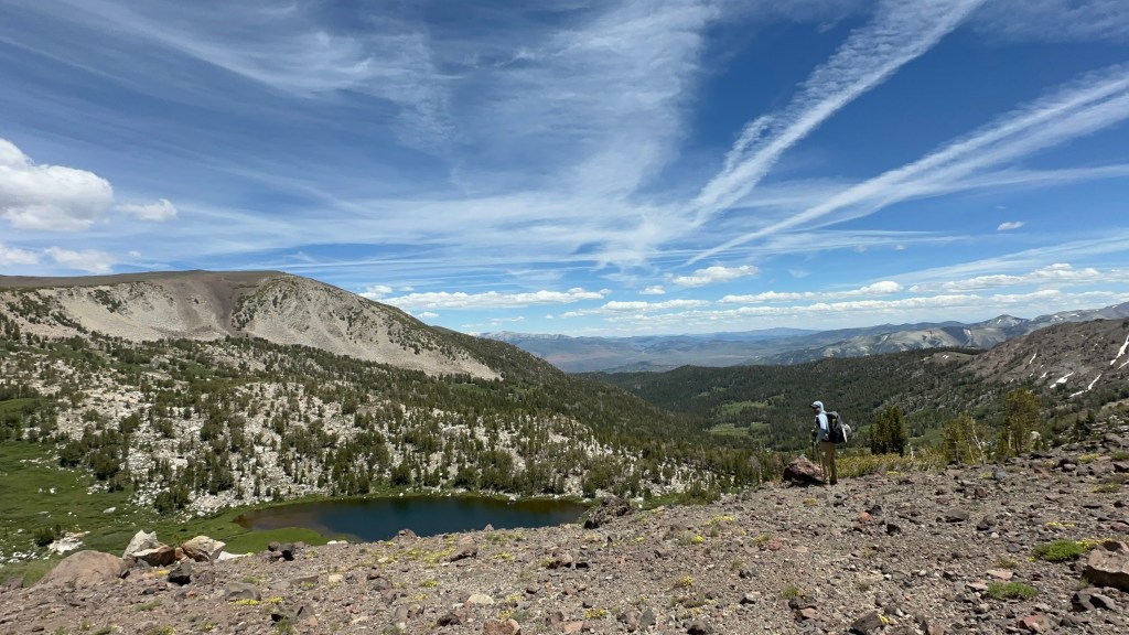
A hiker stands on rocky terrain overlooking a serene lake surrounded by lush greenery and mountains under a blue sky with wispy clouds.
Snack break at a beautiful view

As we wound down into the canyon, it was nice to have someone to chat with about life and hiking. It is quite different than being alone with your own thoughts.
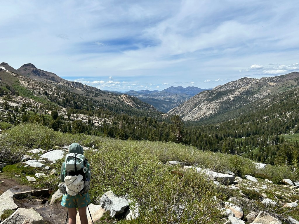
A hiker stands on a rocky path overlooking a lush green valley and mountains under a partly cloudy sky.

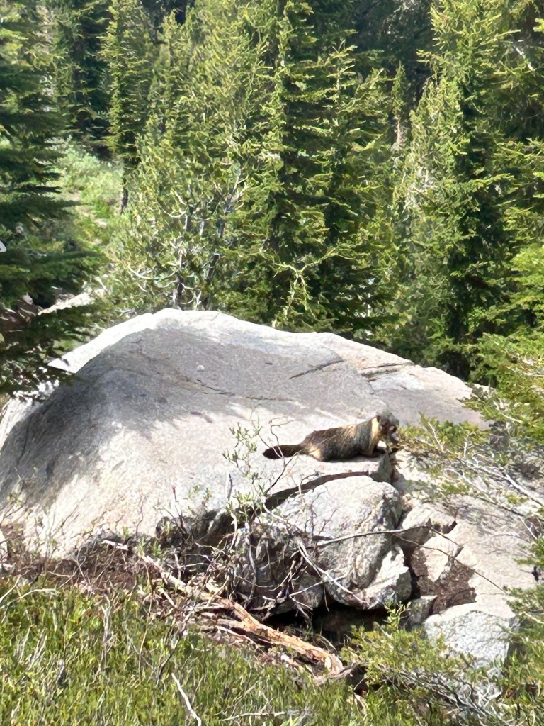
Of course, marmots were about.

A small animal resting on a large rock, surrounded by lush green trees and shrubs in a natural setting.
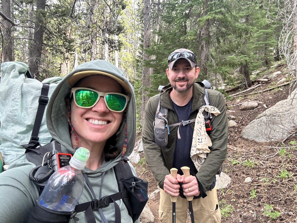
A smiling woman and man in hiking gear, standing on a forest trail surrounded by trees. The woman is holding a water bottle and wearing sunglasses, while the man holds hiking poles.
Another selfie!

Water in the northern Sierra is plentiful. We really only needed a liter at a time, though I usually had 1.5 to 2 because I’m paranoid.

One of my favorite pics of the hike.
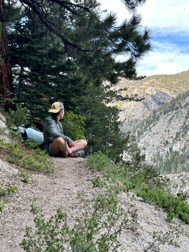
A person sitting on a trail overlooking a mountainous landscape, surrounded by trees and greenery.
Buffer

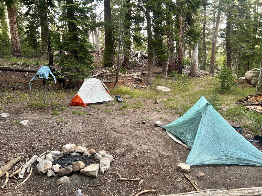
We climbed out of the canyon for another mile or so to get to a campsite on higher ground, but still sheltered. We met a thru hiker at camp named Shake, who we would leapfrog and hang out with for the next couple of days. He was one of the more interesting hikers I’ve ever met (aren’t they all?). It was a lovely first day and we both slept well, despite Buffer forgetting her tent stakes and having to make due with big rocks to keep her tent upright. It worked! πŸ™‚

A campsite in a forest with two tents, one orange and white and another light blue, surrounded by trees and a fire pit made of stones.

Permits and New Gear!

June 6, 2026

Everything is locked in! I got my PCT long distance permit starting July 1st. I am flying into Reno/Tahoe a couple of days early to adjust to the altitude and staying with Buffer and Shawn. Buffer and I will start at Sonora Pass and head northbound. Shawn is going to be our resupply and transportation trail angel. Another hiking buddy of hers (and now mine as well), Sluggy, is going to meet us a couple of days in. He is from England and is going to be on trail for about 45 days, so he’s going to continue going nobo when we get off.

I am planning on getting off at Echo Summit, 75 miles in, or if I’m feeling good, maybe continuing all the way up to Donner Ski Ranch, redoing the section I did in 2024 sobo. I am in the middle of training and trying to find the balance between over-prepping and under-prepping. My left hip was acting up again on a training hike the other day, so I’m going to really focus these next 3 weeks on stretching and proper exercises to strengthen my hip flexors. I think it is more the hip flexor than the IT band.

Also, new gear! We are going to take bear cans the whole way, though I don’t think it’s actually required until the Desolation Wilderness past Echo Summit. Will just be easier logistically and safer for the bears if we have our canisters the whole time. I have my bear can that I used in 2024, but Bear Vault has come out with a new ADJUSTABLE canister that I’m going to try out. It shrinks down when you have extra space so it takes up less room in your pack, which is the hardest part of hiking with a bear can.

Very excited this is all coming together and happy I get to hike with friends, old and new. I will post a couple of more times leading up to the hike and then have a day by day recap when it is all done.

Also, quick reminder that today is D-Day. 82 years ago, our forefathers stormed the beaches and skies over Normandy to start the liberation of Europe and fight the fascist forces that had taken hold. We would do good to remember those brave men and the reason they were fighting when we look at our current world today.

PIVOT

One of the main things you have to learn when joining the hiking community is that you have to roll with the punches. Unfortunately, my hiking buddy Stix decided the AT wasn’t for him this year, so he got off early and I’m not going to meet him up in Virginia anymore.

That’s ok. Plans change, people change, and you have to adjust. So I am now pushing my hike back this year to July and planning to meet up with another buddy from my 2024 PCT section hike on the west side of Lake Tahoe. I met Buffer in my trail maintenance class prior to my hike and she then picked me up at the other end at Echo Summit and I stayed in her spare room that she outfits specifically for hikers. Her and her boyfriend (fiancee?) Shawn are great people and I would love to see them again.

As of now, they are planning on starting at Sonora Pass on the PCT (just north of Yosemite) and going Nobo for a week or so, which would put me in perfect position to do about 75 miles and link up with my 2024 section, near South Lake Tahoe.

Let the chips fall where they may and let’s do another round of the PCT!

Packing Up For Tahoe

July 11, 2024

I spent today packing up my gear and laying out my food for the next week that I will be spending in the Lake Tahoe area. My plan is to take two days on Friday and Saturday participating in a Trail Maintenance course near Truckee, put on by the Pacific Crest Trail Association (PCTA), and then hike Section K of the PCT starting on Monday morning.

For those who don’t know, the PCT is divided into sections in each state. A, B, C, etc, going from south to north. I am going southbound (Sobo) this time, but I incidentally picked a start and end point that are exactly the boundaries of Section K in California. For me, that means Donner Peak (Interstate 80) near Truckee down to Echo Summit (near South Lake Tahoe). Total mileage is right at about 65 miles.

There is a fire about 12 miles to the west of the beginning of my trail right now (Royal Fire), but the US Forest Service and firefighters have done a phenomenal job so far of keeping it contained to only a couple of hundred acres. Hoping that the wind and weather cooperate over the weekend and the PCT stays unaffected. Worst case scenario, I could probably pivot and hike part of the Tahoe Rim Trail going east, but we’ll get to that if need be.

As I said, I went over inventory and laid out my food plans today. This section of the trail requires a bear canister, by law. Basically, it’s a big plastic can filled with your food that you place a couple hundred yards from your tent when you sleep at night, instead of keeping it all in your tent like in non-bear country (debateable).

Ubiquitous hiker food layout shot

I’m guessing it’s actually a bit too much food, but we shall see. Very excited about those Walking Tamales. It’s a different thing having to fit everything into a bear canister at night and you also have to put in any toiletries, sunblock, lip balm, etc. Anything that has a scent.

So here’s my bear canister, minus a couple of items I will buy in Truckee that will make up most of my dinners (tortillas, salami, and cheese). 8.13 pounds, so far. I’m going stove-less this hike and am very excited to not have to worry about the excruciating minutiae of dealing with cooking at the end of a long day. I will eat my bars and tortillas and trail mix and be very happy.

I am typing this as I wait for my final load of laundry to be done (I won’t have a shower for 7 days after tomorrow morning) and then it’s into the mountains! It will be interesting going solo, knowing it’s only going to be for 5 days this time. I am looking forward to seeing how I react mentally. I’m going to try and only average 10-13 miles a day, so I should be able to take my time.

I will do my best to blog from the trail, but if nothing else, I will get everything up when I get back next weekend. I’m also going to try and video a lot.

Hike on!