I feel the trail calling and this year I’ve decided to go to Cascade Locks on the Oregon-Washington border for PCT Days, which is an annual celebration of the trail in August. It is timed so a lot of NoBo hikers that have made it that far will be coming through on their hikes. There are all kinds of gear companies and hiking associations that set up booths and it’s just a good time for thru hikers. This year it is set for August 15-17 and I’m set up for a volunteer shift helping run sound on one of the stages, harkening back to my days in the music industry.
This year, I was initially going to try and hike some of the PCT going north in the Sierra from Kennedy Meadows South up to either Mammoth Lakes or Yosemite with Stix, but we couldn’t quite get it coordinated. I looked at my options and I’ve always wanted to see what PCT Days is like. Then I can hike south from Cascade Locks and go to the Mt Hood area for a few days and get some more miles completed. I’m planning on 6 days and around 70-75 miles or so.
The first part of this hike is actually an alternate trail that almost every hiker takes, the Eagle Creek Alternate, because it takes you through some amazing waterfalls in a gorgeous canyon, most notably Tunnel Falls.
I also will get to go to the Timberline Lodge on Mt Hood, which is famous for being the exterior of the hotel in The Shining. Should be a fun hike and I’m sure I’ll meet some really interesting people at PCT Days.
I came across this article via the PCT Trail Dirt Newsletter, originally published in the digital version of Backpacker Magazine (parent company Outside+) a few weeks ago and wanted to share. It wouldn’t let me link directly, as it is a paid subscription service, so I had to go the copy and paste route. The Outside+ articles are by and large really good and I recommend subscribing if you are an outdoor enthusiast of any kind.
Meadow Ed was a PCT legend and this was a lovely tribute from Barney Mann, another PCT legend in his own right:
“Meadow Ed” Wasn’t Just a Trail Angel—He Was a Pacific Crest Trail Hero.
A friend to the thousands of hikers he fed, the late Ed Faubert helped Cheryl Strayed during the journey she chronicled in “Wild,” and earned a place in PCT history along the way.
That’s distracting, thought Cheryl Strayed, the author of Wild. She was giving a talk at Skylight Books in Los Angeles when a balding, round-bellied man began bouncing up and down in an attempt to get her attention.
“Sir, can I help you?” Strayed asked. The man clutched a shiny red handle with a sharp-toothed blade. “Cheryl,” he said, “it’s me, Ed. Here’s the saw you left behind at Kennedy Meadows.”
Ed Faubert and that saw were the stars in Strayed’s “pack shakedown” in the movie Wild. In that scene, Ed, played by Cliff DeYoung, sorts through the contents of Strayed’s pack, pulling out questionable items like deodorant, an entire roll of condoms, and that toothy tool. It’s the movie’s funniest moment. What the humor of it overshadows is that Faubert likely saved Strayed’s hike.
In an interview, Strayed concurred: “I’d reached Kennedy Meadows after that first 100 miles and thought, ‘I’m an idiot. I should probably quit.’ Ed and the others gave me this boost to hike on.”
Roger Carpenter—”Greg” in the movie—was there with Strayed. Now a hardened Triple Crowner who goes by the trail name “Greg from Wild,” he recalls unequivocally that “Ed, his encampment, and that small group of hikers he’d gathered gave Cheryl the confidence that she belonged on the trail.”
It all began in 1995. As a 50th birthday present to himself, Faubert drove to Kennedy Meadows in the southern Sierra Nevada. Riding shotgun in his Bronco was nephew Andre Faubert. My uncle “wanted to be in a place he loved, not moping at home in Los Angeles,” Andre says today.
The same day they arrived, seven tired, bedraggled PCT thru-hikers wandered into their campsite. It was second nature for Faubert, an itinerant chef and experienced backpacker, to feed those hungry souls. Faubert dished out heaping plates together with dollops of trail wisdom. When they left, Faubert’s cooler lay bare, and he drove four hours back to Los Angeles to restock. Now a budding trail angel, he soon ministered to a second batch of six backpackers that included Cheryl Strayed and Roger Carpenter.
In 1996 Faubert came back, and the dozen hikers became fifty. Faubert set up first in Kennedy Meadows, then Reds Meadows, then Tuolumne Meadows. “When will we see you again, Ed?” one hiker asked. Faubert responded, “Where’s the next meadow?” With that, Faubert became “Meadow Ed.”
Faubert was raised in Manchaug, Massachusetts, the youngest of five boys, shoe-horned into a mill town company-built home. His mom Mildred worked in the mill and dad William in construction. When he was only 8, his father died in a construction accident. He never finished high school but hitchhiked west and entered Glendale College. Faubert was voted class president and earned an English degree, but he was more interested in cooking for others. He became a self-made chef, and bounced like a pinball between local diners and line cook positions at distant Yosemite and Glacier National Parks. Soon, he fell in love with the Sierra, polishing his backpacking skills against a backdrop of glacier-polished granite.
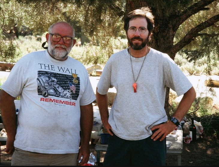
Husky even in college, Faubert had a fifty-year-old’s receding hairline when he was in his twenties. On his tiptoes he stood five-foot-eight, and with that barrel chest you would expect a basso-profundo to emerge. But Faubert spoke in a surprisingly elfin, near-falsetto voice.
Ed Faubert and hiker Roger Carpenter at Kennedy Meadows, June, 1995. Photo Courtesy Roger Carpenter
As the number of hikers he fed increased, Faubert wasn’t daunted. Instead, he expanded his work to become a PCT “Kickoff” leader. That event took place twenty miles north of the PCT southern terminus and at the time was the equivalent of Appalachian Trail Days in Damascus, Virginia. Meadow Ed’s “water report” talk routinely had standing-room-only crowds. Hikers hung on every word. The notes they took may have saved lives.
To Faubert, the hikers he fed and advised weren’t just souls passing by. They were his lifelong friends. In his later years, he lived rent-free in the basement apartment of Darlene Finocchiaro, a college friend of 50 years. I visited him a few months before he died; prominently hung on one wall was a photo collage titled “Some of my Best Friends,” featuring scores of PCT hikers.
One of those friends was Jackie McDonnell, author of the Yogi’s PCT Handbook and a Pacific Crest Trail legend in her own right. McDonnell, who would go on to become the first female Double Triple Crowner, met Faubert in 2001 on her first PCT thru-hike. In that low snow year, McDonnell recalled that she’d asked about the upcoming Sierra Nevada. Faubert replied, “At 10,000 feet you’ll hit mosquitos and at 11,000 feet you’ll hit snow.” McDonnell still marvels: “Guess what happened? At 10,000 feet a wall of mosquitos and at 11,000 feet snow. This old guy at the campground. How did he know?”
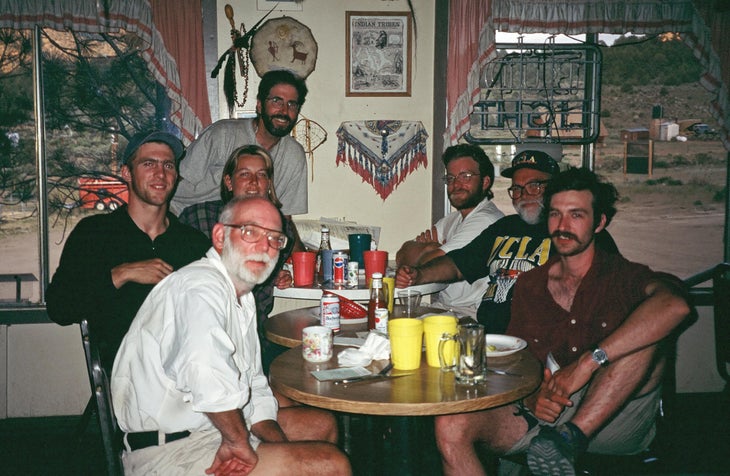
Hikers in 1995 turn the tables and take Ed Faubert out to dinner at Grumpy Bear’s in Kennedy Meadows, California. Left side, front to back: Charlie Thorpe, Doug Wiser, Cheryl Strayed, Roger Carpenter; Right, front to back: Pete Charles, Meadow Ed Faubert, Tony Thorpe. Courtesy of Roger Carpenter
In 2014, McDonnell was in the front row beaming when the American Long Distance Hiking Association-West named Faubert “Trail Angel of the Year.” I was the emcee and I’d been asked to limit Faubert to a ten-minute acceptance speech. He came to the mic with six handwritten single-spaced pages. He glowed. I didn’t have the heart to cut him short.
Roger Carpenter, too, remained in Faubert’s lifelong circle of friends. One day, seventeen years after they first met, Faubert sent an email with the subject line: “Look what Cheryl did.” Faubert was so proud. The Wild book and movie validated his decades ministering to hikers.
The year 2015 marked the last Kickoff, and in 2016 after serving platefuls to multiple thousands of hikers, Faubert gave his last hiker feed. He let his driver’s license lapse as he became more physically limited. On McDonnell’s last visit, only weeks before he passed, the conversation remained the same. Animated, elfin voice: “Do you remember this hiker? Do you remember that hiker?”
Near the collage of hiker photos were framed awards for Faubert’s poetry, a nod to his old English degree. A poem he wrote in 2006 could stand as his eulogy. The floor is yours, Meadow Ed.
A scholar with a camp stove lectern,
A preacher with a church 2,560 miles long and two feet wide, ….
Last day! So of course I got lost. I headed out of camp after saying goodbye to the friends I had made the night before and just walked off into the woods.
Once I found my way back to trail, I hiked on toward civilization. Lake houses became more frequent and sweet-smelling day hikers were passing me coming from the other direction. A couple of hours later, I arrived at Echo Lake Chalet, put my pack down, and went inside to get a snow cone for breakfast. This was the end of Section K of the PCT. 65 miles total.
End of Trail
I was happy and exhausted. My trail angel, Madison (Buffer, PCT Class of 2023, just like me), that I had also met at Trail Skills College before the hike, picked me up and drove me to her house in South Lake Tahoe. She and her boyfriend Shawn (Sean?) pampered me and were a blast to hang out with. He likes Star Wars more than almost anyone I’ve ever met and we got along great.
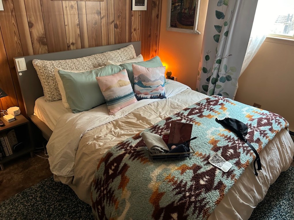
COMFY bed
Unfortunately, I found out that I had apparently done this entire hike while infected with Covid.
I had started feeling kinda crappy from day one and just pushed through the miles anyway. The daytime wasn’t bad, but at night I would get a super stuffy nose and was definitely coughing the entire hike. I think I may have had fever that night after the 21 mile day.
But I figure I’ve had worse and proved to myself I can take on a solo hike for a week, sickness and all, and do ok. I’m pretty tired of carrying a bear can and would like to not do that on whatever section of the PCT I tackle next.
The next morning, they drove me to Harrah’s in Stateline to pick up the shuttle bus back up to the Reno airport where I met Rayna again to grab my suitcase and headed back to Texas. Great hike. 10/10, would do again.
I woke up sore, specifically my shoulders. Legs were actually fine. Now I was heading into Mordor for mosquitos, apparently. Also, Dick’s Pass, the highest pass I would cross on this hike (9000+ ft) was looming in the afternoon.
As I came out of mosquito hell, I started to get into the lakes section of the Desolation Wilderness and it was pretty spectacular.
Best water source of the whole hike
Dick’s Pass was a 1500 foot climb and was a bit daunting, but you just have to take it one step at a time. I did it in about an hour. I bonked pretty hard at the top, as I had waited to eat lunch, so my body was completely out of fuel, but the views were great.
Looking down on Dick’s Lake from whence I came
The entire trail down from Dick’s Pass was NOT my favorite. If you’re a fan of sharp rocks stabbing your feet though, have I got a trail for you!
God damn rocks
The rest of the day wound up and down past a couple of smaller lakes and then opened up to Aloha Lake (Lake Aloha? I’m not sure what the proper order is) where I would find my favorite campsite of the trip. Great neighbors, including two Sobo hikers that were continuing into the Sierra further south and also a couple and their friend, and their dog (Doug), who had hiked in from Echo Lake to basecamp and day hike. Fantastic swim in Aloha Lake to end the night.
This was the longest distance I have ever hiked in a single day. 21 miles.
I woke up early, checked that my water was full, and headed straight up hill. It’s always best to get big climbs out of the way early, I’ve found.
Once I got to the top of the ridge, it was a lovely day and I just enjoyed the breeze and easy trail.
After a while I did have to sit down and do some foot care, as the outside of my left heel, which is always the first place to blister no matter what it seems, started to blister. This and the outside of my right heel were the only two blisters I would incur on this trip, so I think the new toe-sock liner combo I tried worked out pretty well.
Top to bottom: toe-sock liner, regular sock, leukotape, ibuprofin, blister bandages, sit pad
A little while later, I came to the junction of the PCT and the TRT (Tahoe Rim Trail). From here, the TRT joins the PCT until just south of Echo Lake, where I would end my section hike, so I would be on both trails for the remainder of this trip.
I would also reach the other end of the Granite Chief Wilderness.
Then it was lunch time and I found a wonderful little creek to lounge by.
After lunch, I passed several hikers who had good news for me: trail magic just down the hill! I honestly didn’t even think I would run into any trail magic on this trip, so it was a wonderful surprise. First, I walked through an idyllic field of Wooly Mule’s Ears again.
As I descended down to a trail head parking lot, I saw some Nobo hikers surrounding a couple of coolers of soda. Trail magic! Thank you trail angels!
I knew I had another climb to get to my goal, 5 miles ahead and 3 miles past Richardson Lake in the Desolation Wilderness. With about 3 hours left of daylight, I put on some climbing music (metal) and put my head down to power through.
Those last 2 miles were ROUGH. They were flat, but mentally challenging, knowing this was my longest day ever and that I was almost at the end of it. I collapsed at camp and it was all I could do to set up my tent and force down a protein bar for dinner. I didn’t even brush my teeth this night. Just lay flat on my back and fell asleep quickly. There was no breeze and all was silent.
I didn’t go nearly as far as I should have on this day, but sometimes water sources and terrain dictate the day, rather than a mileage goal. It was totally worth hanging out at Five Lakes for a couple of hours to swim.
I woke up and was packed and on trail just after 7am as the sun was starting to peek over the peaks.
I would find my bug net later, don’t worryfavorite trail snack
silent and beautiful
I would soon reach the boundary of the Granite Chief Wilderness, one of two wilderness areas I would hike through on this trip. Wilderness areas were first designated by the 1964 Wilderness Act (click this link for more info).
An excerpt from that act: “A wilderness, in contrast with those areas where man and his own works dominate the landscape, is hereby recognized as an area where the earth and its community of life are untrammeled by man, where man himself is a visitor who does not remain.”
No motorized equipment of any kind (chainsaws, ATVs, etc) are allowed in wilderness areas, meaning any trail maintenance has to be done purely by hand.
Granite Chief Wildernessone of my favorite pics of the whole hikeI ran into a Nobo hiker named Hummingbird! I had to pose with my trail doppelganger
the trail in this section has endless fields of Wooly Mule’s Ears plants
I hiked on and got to the 5 Lakes Basin early in the afternoon, where I decided it was time to swim. I couldn’t camp right by the lake, but it was worth the .2 mile detour.
arriving at 5 Lakes Basin
Swim!
Ducks!
Once I was done with my swim I headed back to camp and realized I had only gone 8 miles today, instead of my intended 12-15, which threw me into a momentary panic about mileage. I was faced with a 1000 foot climb out of camp and no water for several miles if I were to continue today. After a campsite mate talked me down from the ledge, I realized I would just have to push mileage a bit more than I wanted the next couple of days to get back on track. I settled in for the evening and prepared for a long day tomorrow.
13 miles – PCT mile 1157-1145 (plus one mile from SNO Park to PCT junction)
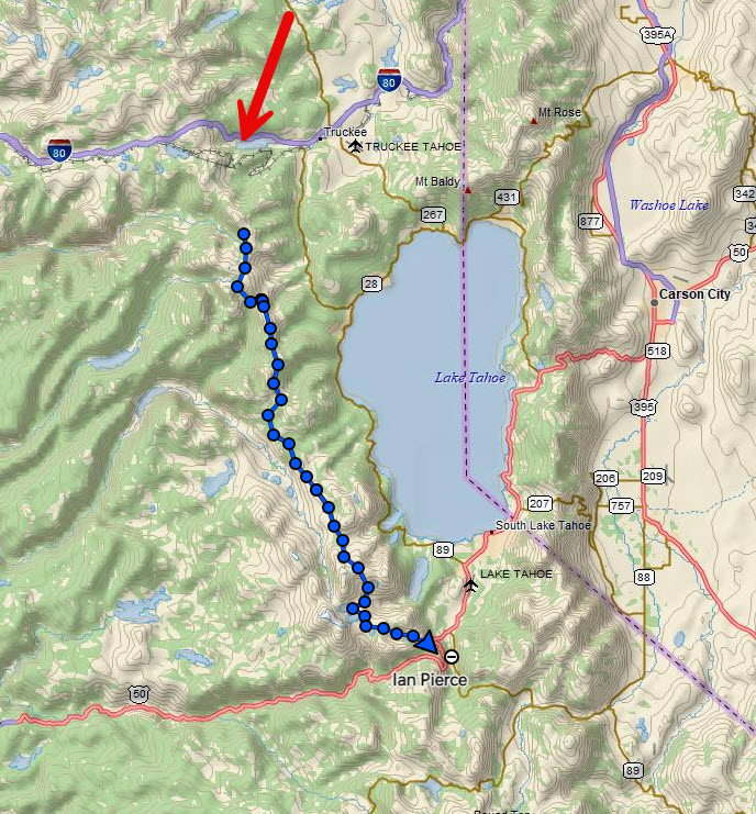
For reference, here is the map of my track over the whole hike, which took four and a half days. For some reason it didn’t start tracking until a little ways in, but I actually started at the red arrow (I-80).
First day on trail! My pack was HEAVY with a full bear canister and 2.5 liters of water. No stove though!
My trail angel from the PCTA Trail Skills College, Abel, drove me to breakfast and then the trail head. He’s from Tehachapi, CA, another trail town down in southern California and trail angels hikers all the time. Hundreds a year, he says. He has also biked across the US and climbs and hikes all the time too. He’s a great guy and I have his contact info for when I do his section of the PCT one day!
Abel
I had a mile to hike from the trail head to meet up with the PCT. Within 5 minutes I saw my first wildlife. Marmot!
such goofy creatures
I took a lot of videos on this hike to try and illustrate the trail experience a bit better.
The trail started to wind up the mountain towards Donner Ski Ranch.
I put on my sun gloves like a good husband of a dermatologist would and hiked on to the Ski Ranch.
Then I came to a very nice section of trail.
As I strolled into Donner Ski Ranch with the other hikers who were there at 9:30am, the bartender insisted on me getting the 40 oz malt liquor and I figured it was hiker tradition, so what the hell. I tried to trade it for a beer, but she said “nope, it’s the 40 at Highway 40” and that’s what I had to get. I only had the one cup and wasted the rest, but oh well.
I charged up my phone a bit and continued on trail, up a 1000 foot climb to the ridge overlooking Donner Lake that I would be on for the rest of the afternoon.
First big climb
Hey, still some snow! But not really wanting to risk the traverse.
That’s better.
I continued on the exposed ridge as clouds started to form overhead. I knew I had quite a long exposed section, so when it started to thunder, I made the call to get down off trail into some trees a couple of hundred yards below.
The rain intensified and soon became a not very fun experience. It lasted almost an hour and I had to take lightning precautions, which involved spreading out my pack and my poles away from me (metal) and also standing on my sit pad as an insulator, while at the same time keeping my body moving to avoid hypothermia as the temperature dropped probably 30 degrees and I was getting wet.
I continued on the trail being chased by more rain clouds the rest of the day, but thankfully nothing more materialized. I also got my first view of Lake Tahoe.
The hike then took me over some scree fields around Anderson Peak and Tinker Knob around 9000 feet before descending down into a valley where I would make camp.
To start off my section hike, I participated in a two day trail maintenance course put on by the Pacific Crest Trail Association (PCTA). This was a great way to get into the hiking world again, acclimate a bit to the higher elevation I would be hiking at on this trip, and make some new friends who are just as into the trail as I am.
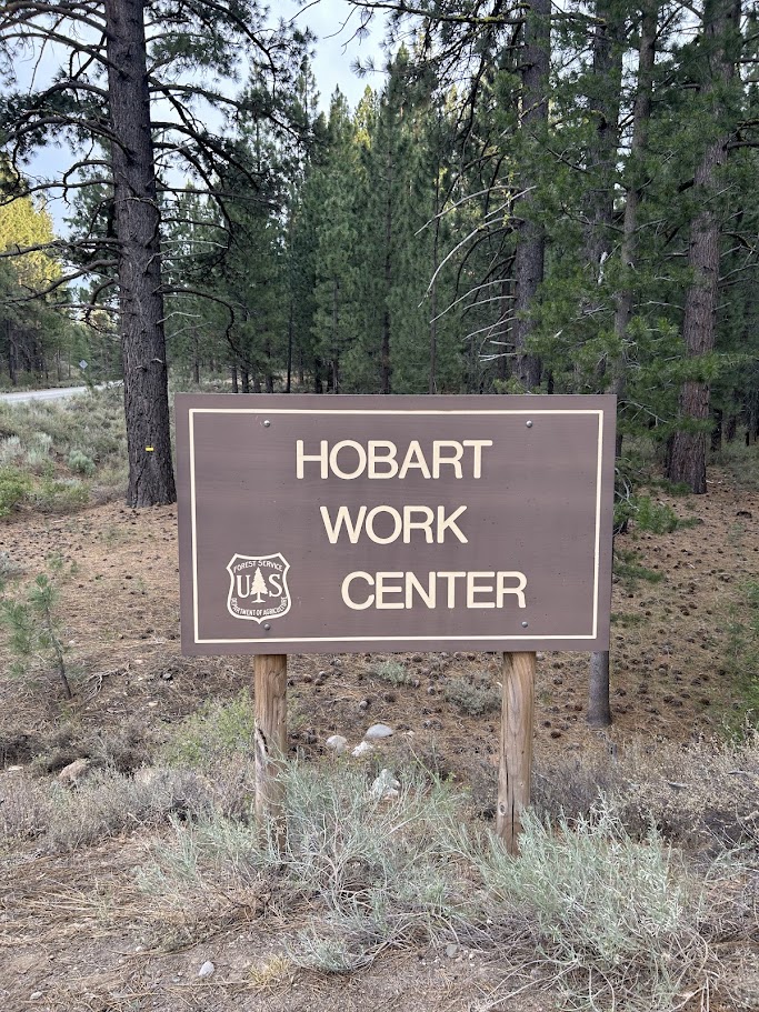
We camped for three nights at Hobart Work Center (a forest service campground) just a few minutes north of Truckee.
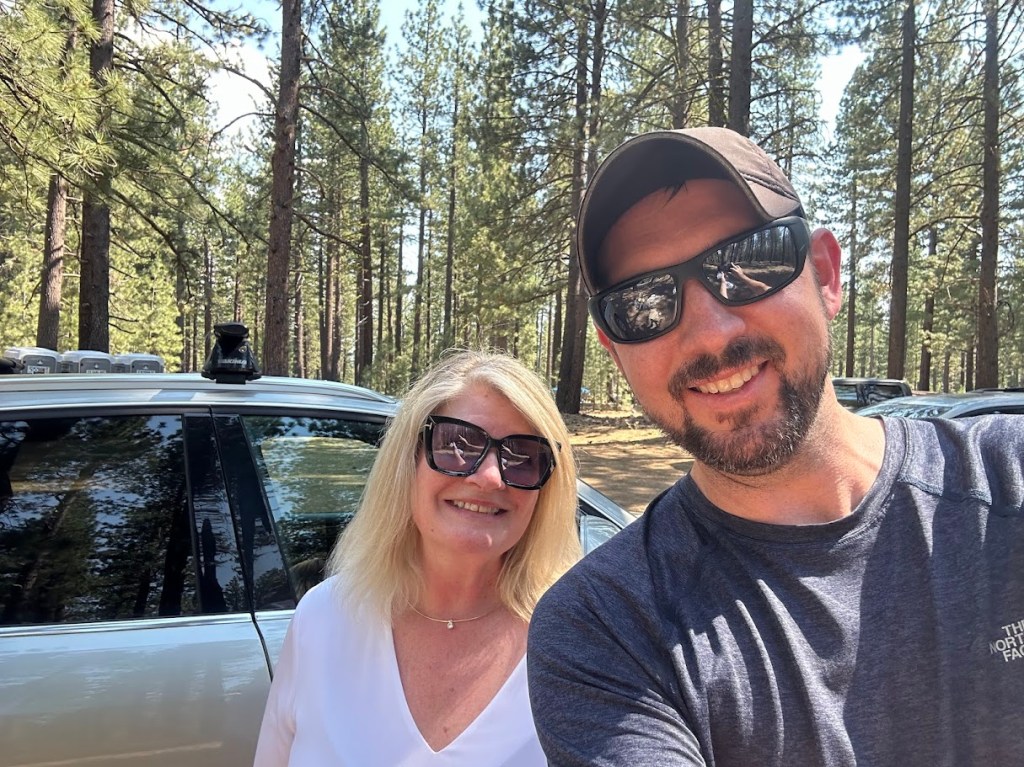
The way I got to this location was a bit serendipitous, as I met my trail angel Rayna outside of Wrigley Field back when I went to Chicago for my birthday in June. She was visiting a friend in Chicago and we randomly shared a table with her at the bar outside center field. When she discovered I would be hiking the PCT in July near her home, she offered to pick me up at the Reno airport and drive me out to the campground.
Rayna – Trail Angel!
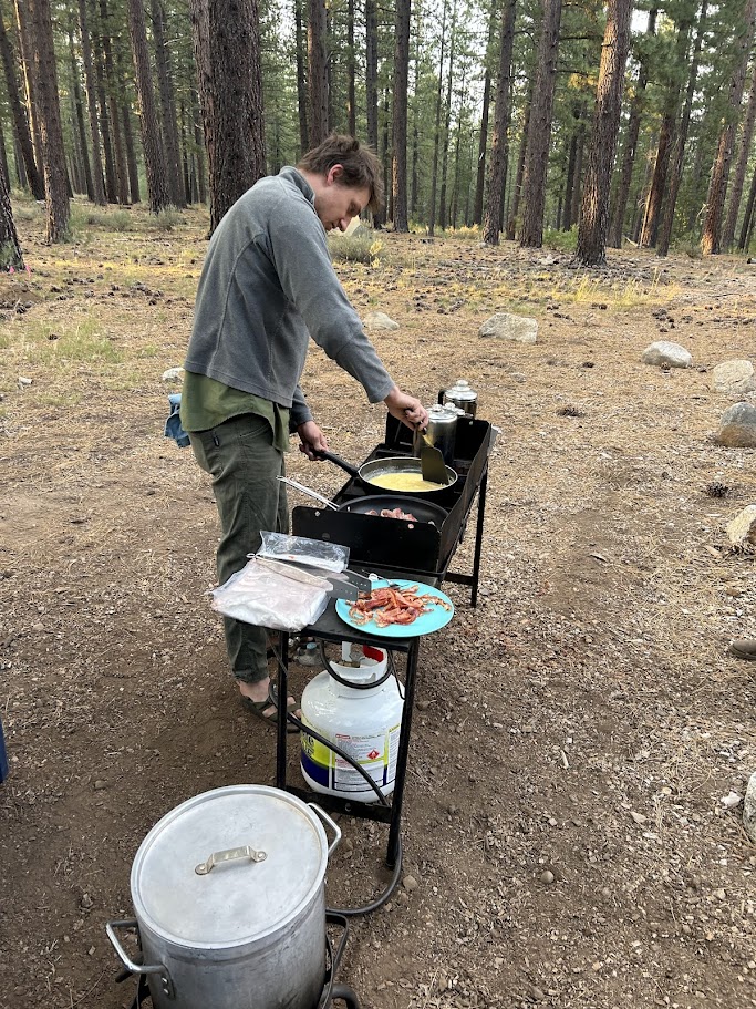
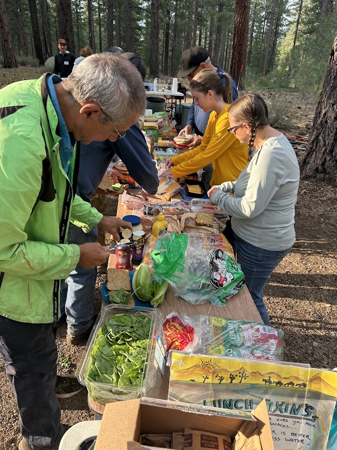
I got my tent set up and hung out with the other volunteers and PCTA crew for the evening. We then woke up, ate breakfast, made lunch for later, and headed to the trail.
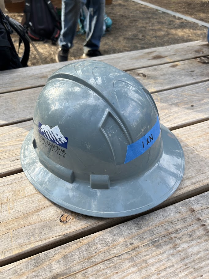
Tent set upGot my own hardhat!Spencer (PCTA) cooking breakfastMaking lunch to pack into the trail
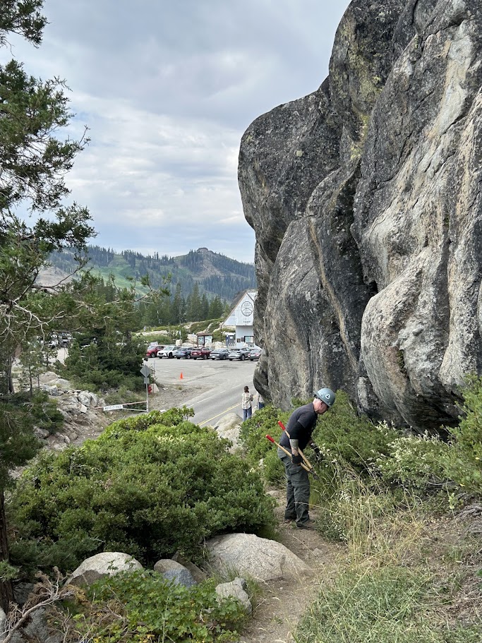
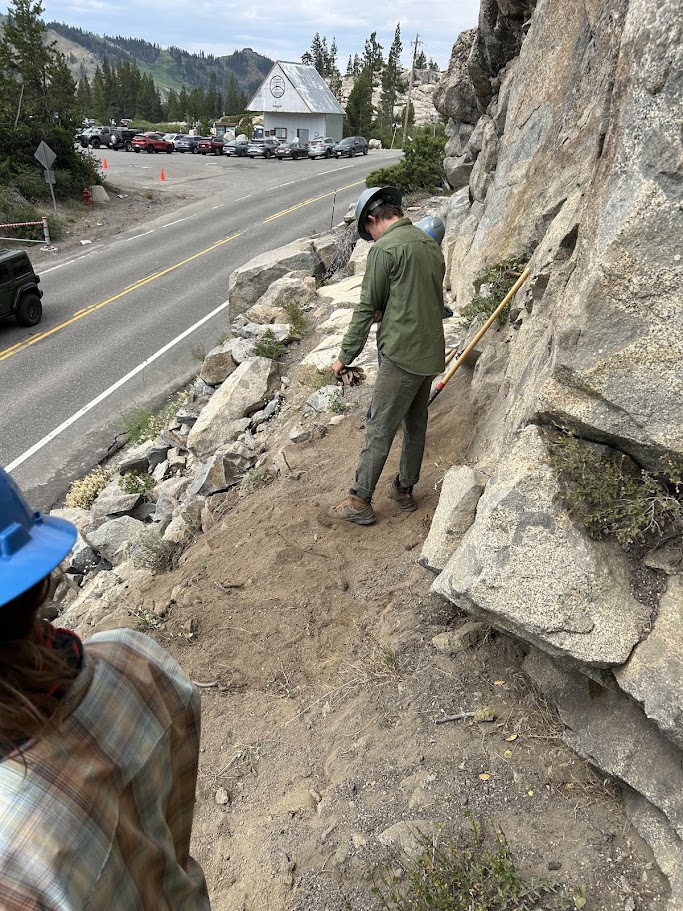
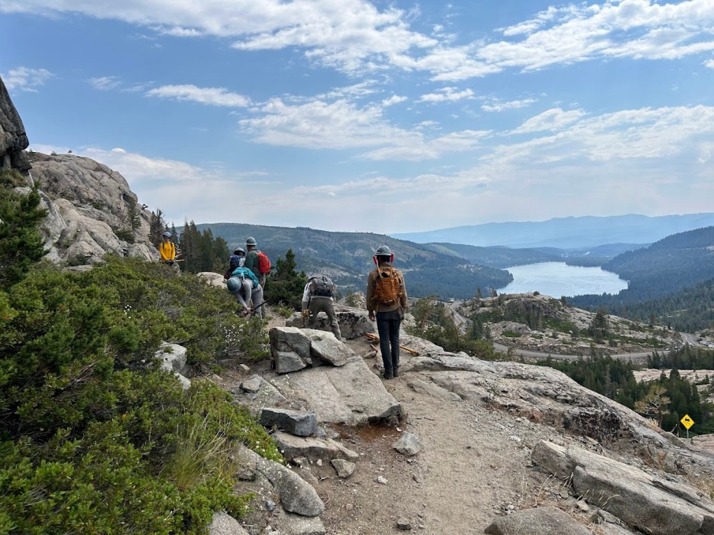
We hit the trail with loppers and other tools to start clearing some brush that was encroaching on the trail near Donner Pass Ski Ranch. Incidentally, this is where my hike would take me on the first day.
The views were beautiful and the people were great to work with. The first day was mostly manual labor, but I think they do that on purpose to break people in. Trail maintenance isn’t easy, but it’s very rewarding and all of us hikers appreciate the volunteers that do it. Interestingly, I would say the majority of the volunteers don’t ever really use the trail. They aren’t hikers. They just like to give back.
View of Donner Lake
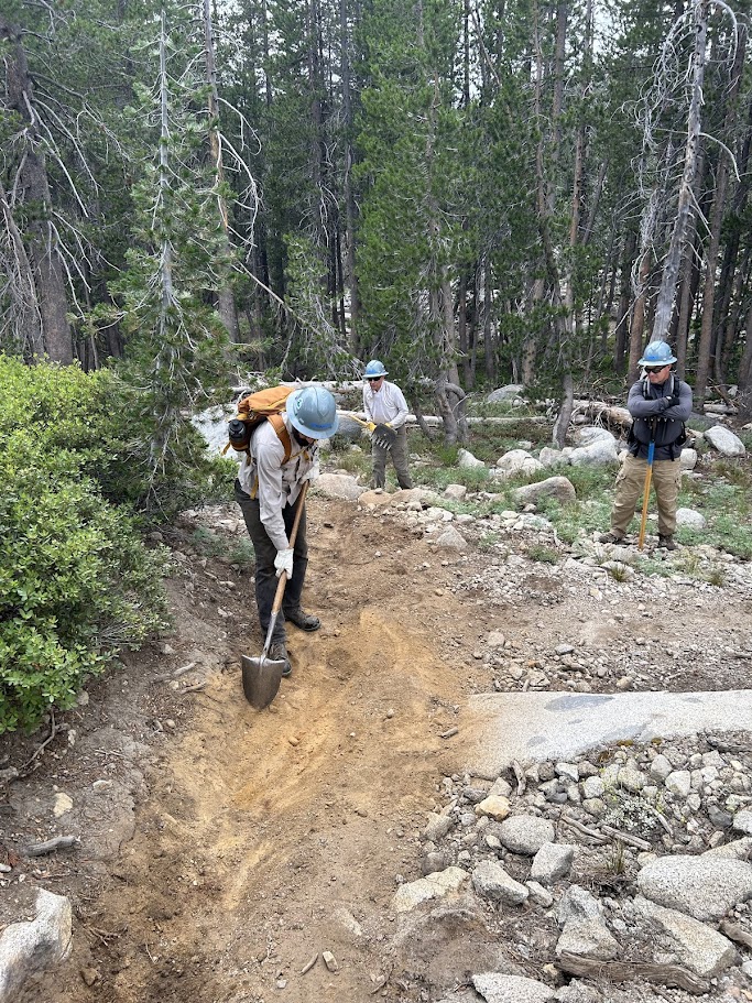
The second day we learned a bit more about trail construction techniques and water drainages. We hiked north on the PCT, past I-80 (my official starting point for my section hike), and cleared out some of the drainages along the way.
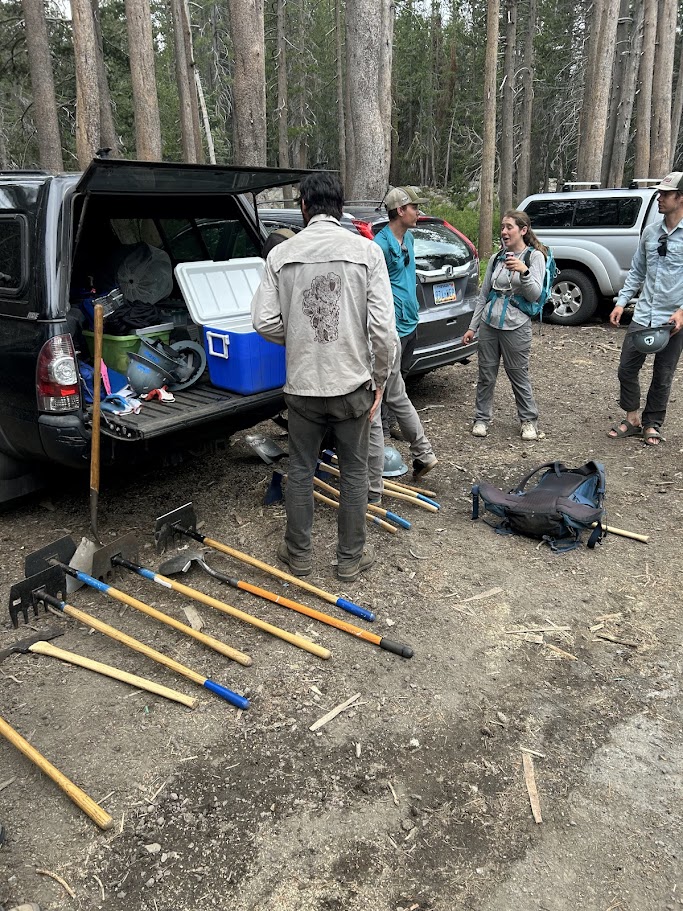
Walking under I-80Matt (PCTA) explaining drainage techniquesTrail Tools
After we got back to camp, I got a ride with my new buddies (Abel and Kevin) into Truckee for dinner and a quick soak of the feet in the local reservoir. I was very happy I attended this course, as it got me in a great headspace, even if I did end up getting sick from it (more on that later). I got some good sleep and was ready to hit the trail to start my section hike the next morning.
I spent today packing up my gear and laying out my food for the next week that I will be spending in the Lake Tahoe area. My plan is to take two days on Friday and Saturday participating in a Trail Maintenance course near Truckee, put on by the Pacific Crest Trail Association (PCTA), and then hike Section K of the PCT starting on Monday morning.
For those who don’t know, the PCT is divided into sections in each state. A, B, C, etc, going from south to north. I am going southbound (Sobo) this time, but I incidentally picked a start and end point that are exactly the boundaries of Section K in California. For me, that means Donner Peak (Interstate 80) near Truckee down to Echo Summit (near South Lake Tahoe). Total mileage is right at about 65 miles.
There is a fire about 12 miles to the west of the beginning of my trail right now (Royal Fire), but the US Forest Service and firefighters have done a phenomenal job so far of keeping it contained to only a couple of hundred acres. Hoping that the wind and weather cooperate over the weekend and the PCT stays unaffected. Worst case scenario, I could probably pivot and hike part of the Tahoe Rim Trail going east, but we’ll get to that if need be.
As I said, I went over inventory and laid out my food plans today. This section of the trail requires a bear canister, by law. Basically, it’s a big plastic can filled with your food that you place a couple hundred yards from your tent when you sleep at night, instead of keeping it all in your tent like in non-bear country (debateable).
Ubiquitous hiker food layout shot
I’m guessing it’s actually a bit too much food, but we shall see. Very excited about those Walking Tamales. It’s a different thing having to fit everything into a bear canister at night and you also have to put in any toiletries, sunblock, lip balm, etc. Anything that has a scent.
So here’s my bear canister, minus a couple of items I will buy in Truckee that will make up most of my dinners (tortillas, salami, and cheese). 8.13 pounds, so far. I’m going stove-less this hike and am very excited to not have to worry about the excruciating minutiae of dealing with cooking at the end of a long day. I will eat my bars and tortillas and trail mix and be very happy.
I am typing this as I wait for my final load of laundry to be done (I won’t have a shower for 7 days after tomorrow morning) and then it’s into the mountains! It will be interesting going solo, knowing it’s only going to be for 5 days this time. I am looking forward to seeing how I react mentally. I’m going to try and only average 10-13 miles a day, so I should be able to take my time.
I will do my best to blog from the trail, but if nothing else, I will get everything up when I get back next weekend. I’m also going to try and video a lot.
Well, I’m going solo for this leg. Stix had to bail out on our initial plans for me to meet up with him in the Sierra this summer to hike the PCT from Lake Tahoe southbound to Mammoth Lakes, due to personal issues. I will miss my friend and had been contemplating multiple alternate hikes over the past several weeks. I thought about doing a section of the AT in northern Georgia, but the weather in July is not hospitable. Then I looked into doing part of the Colorado Trail from Breckenridge to Denver, but the altitude would have been way too much for a short hike. 12,000 feet on day 2 seems unwise.
Then I saw an opportunity from the PCTA (Pacific Crest Trail Association) for a 2 day trail maintenance course in Truckee starting July 13th. This was a week before my initially planned start date and something I have always wanted to learn more about. I want to give back to the trail as it has given to me.
As of this writing, I am waitlisted for that course, but have been told that there is a good chance I will get in. If not, oh well, I’ll just start on the PCT a day or two earlier than I anticipated. I changed my permit start location and date to the I-80 PCT trail head, where I was in November of last year, but got waylaid by snow.
My official start date is now July 14th and I plan to to 65 miles on the PCT southbound, ending at Echo Lake, near South Lake Tahoe. This will only take 4-5 days, but I figure it’s a good solo trip. If I go faster than I anticipate, I can always tack on a few more miles on the Tahoe Rim Trail at the end.
I bought a bear can with my REI credit card rewards and it should arrive tomorrow. I’ll be using a bear can the entire trip, as it is required in the Desolation Wilderness for the second half of the hike and I might as well just use it the whole time. It’s safer for me and the bears.
The logistics, my favorite part of backpacking, are not that complicated this time, with no resupply points to worry about, but still fun to plan. I bought an airplane travel “case” from ZPacks for my backpack and gear so I can check it all and hopefully have it come out safe on the baggage carousel. It is made out of dyneema, which is an ultra-lightweight material popular in the backpacking community and also used for competitive sailboat racing, at least that is what I last heard. This will then serve as my pack liner while I’m hiking, so the whole system is self-contained.
I went to Chicago for my birthday a couple of weeks ago (42 wow) and caught a Cubs game. Outside the stadium, during the pre-game festivities, we met a woman named Rayna who was from Truckee. I managed to “yogi” a ride (thru hiker term) from her from Reno to Truckee for my hike! I’m telling y’all, the trail provides. There is something cosmic about it.
Anyway, I’m getting back into my endurance training for these next few weeks and am extraordinarily excited to get back on trail! I’ll blog it and can’t wait to get away from the nonsense world we live in that seems to be getting more insane by the day.
“Go to the mountaintop and there you will see God, as God truly is in the world” – excerpt from Ken Burns’ National Parks
















 Mexico to Canada 2023 (and beyond)