Friday, May 5, 2023
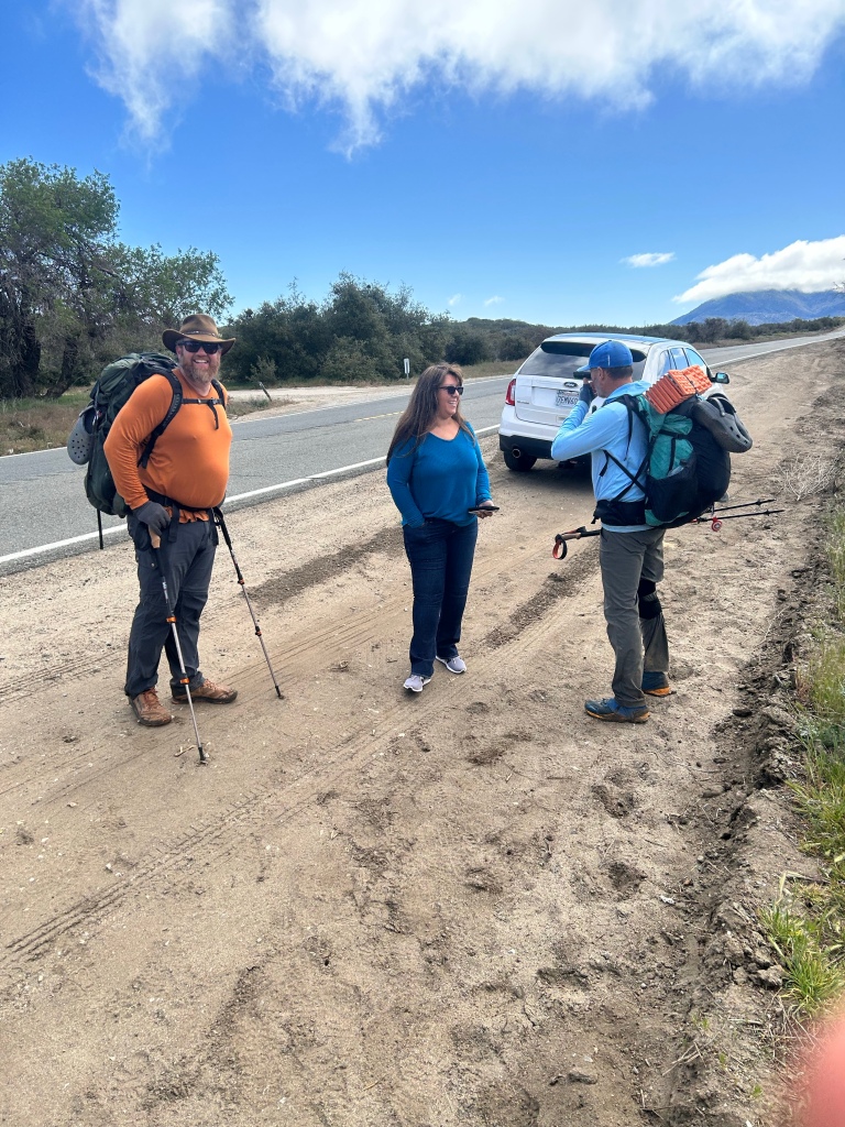
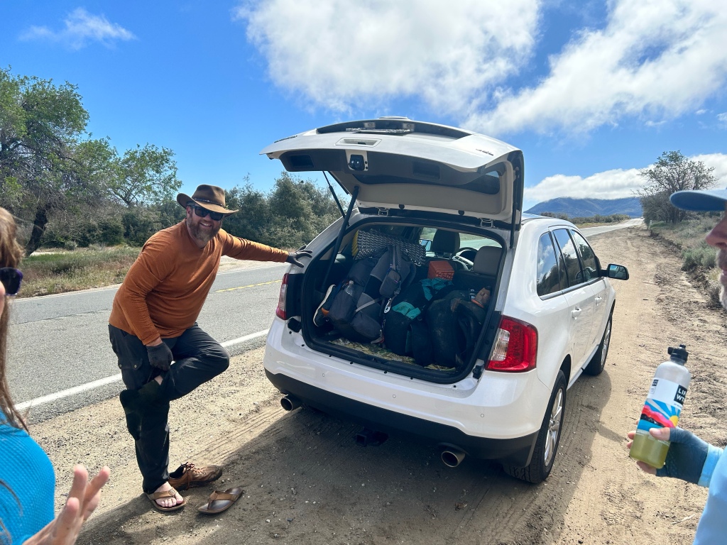
The three of us woke up early and hit the trail, as John and Clay’s wives were meeting them at the highway 74 junction to take them to breakfast at Paradise Valley Cafe, a mile up the road. I was the lucky recipient of that ride as well. Thanks y’all!
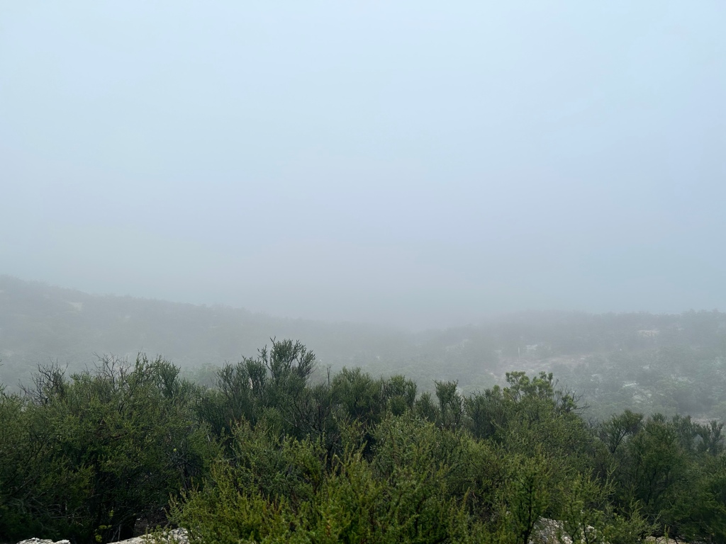
Though the forecast said no rain, we awoke around 6 to that horrifying pitter patter on our rain flies. Noooooooooo.
I took full blame for the inaccurate forecast (wtf Garmin?) and we again packed up wet gear. Luckily, it was really more fog than rain, and it cleared pretty quickly.

We had good conversation about our hometowns (John is a retired firefighter from San Diego, Clay is a musician who grew up in Kentucky and Telluride (!), then moved to San Diego) along the trail. I got to regale them with Dazed and Confused factoids from Austin.
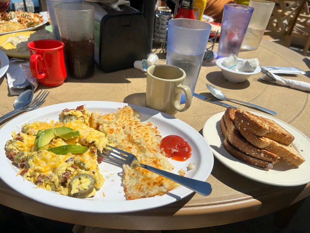
We got to the highway and the wives were there to take us and our stink to the cafe for breakfast. It was so good.


John and Clay are going to continue on trail today, while I go into Idyllwild (amazing town!) for an unplanned zero day. My feet need some work and I need a rest. I’m going shoe shopping tomorrow to maybe try out the Altra Olympus or Lone Peaks, which are made specifically for thru hikers whose feet have swollen and have a larger toe box. I really wanted my La Sportivas to last, but I think they are just too narrow for 15-20 mile hiking, day after day.
My amazing wife got me two nights at the Idyllwild Inn and the only cabin they had was a three bedroom. I’ll live like a king tonight! Clay and John are going to hike down from the mountain and stay with me tomorrow night and then we are all three going to tackle the hardest part of the San Jacinto PCT trail on Sunday: Fuller Ridge. With the snow this year, it’s not something I want to do alone.
I’m WAY ahead of schedule, as Court is meeting me on the other side of the mountain in 6 days. So I’m going to spend the next couple of days resting and figuring out logistics. I may hitch back to Idyllwild after the mountain to tackle the 28 mile section I’m missing, or I may just take almost a full week off trail! I’m no longer a trail purist. You have to adjust.
We will see. For now, I’m waiting for my room to be ready and having a few pints at the local brewery. Can’t wait for shower and laundry!!!

Cheers!

Go for the Altra shoes! My son went through 3 pairs of the Altra Timp 2 on trail. I tried them on at REI and bought the same ones (women’s version). Love them for hiking.
LikeLike
I missed the part about the 28-mile section that you skipped … What’s the backstory?
It’s nice to see you taking some time off and giving your feet a rest.
Interesting about evolving from a purist to a realist. I think they call that “life experience.”
Pete and I are very excited to follow your adventures.
Happy Trails!
– Aunt Carrie
LikeLiked by 1 person
It’s the beginning of Mt San Jacinto from paradise valley cafe up to Devil’s Slide Trail, which then goes back into Idyllwild. My hiking buddies attempted it yesterday, but are actually coming back because of too many blow downs. We are going to go back up devils slide tomorrow and do the main part of the mountain down to I-10. I needed to rest before I attempt that and needed them to go up the mountain. Too snowy to do it alone.
LikeLike
Ian, I’m assuming “blow down” means that trees have fallen across the trail …
When Pete and Kai and I did our 5-day / 4-night backpacking trip in the Pecos Wilderness in 2020, we lost the trail because the trail dissolved into a burned out area where a forest fire had torn through a couple of years earlier (which we didn’t know about). As we hiked out of the trees and into this huge area that opened up, we saw ahead of us hundreds of charred tree trunks lying every which way like huge Lincon Logs. The trail seemed to dissolve, so we kept hiking in the general direction we knew we should be going (climbing over huge tree trunks) for about 2 hours until we got to a large boulder on a bit of a ridge where we could get a better view ahead. We sat down and got out the compass and our topo map (no cell phone signal) and finally figured out where we were based on a rivulet we could see in the distance. We figured out that the trail was about 100 feet below us, so we headed downhill, hoping we were right and were not going to have to climb back up later. We did find the trail it seemed like a paved highway compared to what we had been climbing through all afternoon. Hardest day of the trip.
LikeLike